Walk 2026 02 15 2026 02 15
A reflective route day with practical trail notes and conditions captured from the walk.
Draft Preview
This walk is still a draft. Publish it here to make it live on the main walks pages.
- Peak District
- Hard
Route Map
Open In New Tab3D Flyby
Open In New TabMap And Navigation
Route line is drawn from this walk GPX on OS mapping where available.
Dog Trail Checklist
- Route is suitable for dogs with normal trail control.
- Check livestock and ground-nesting bird signage on the day.
- Carry water for your dog and avoid heat stress on exposed climbs.
- Pack a towel and paw check kit for wet rock and boggy exits.
Route Notes
Why this route
Chosen for a steady route with varied terrain and good access.
Conditions and pacing
Conditions were mixed with typical hill exposure.
Pacing felt controlled for the day.
Standout sections
Several sections offered strong views and useful route markers.
Kit and lessons
Layering and kit were selected for variable UK hill conditions.
No major gear issues; small refinements noted for the next outing.
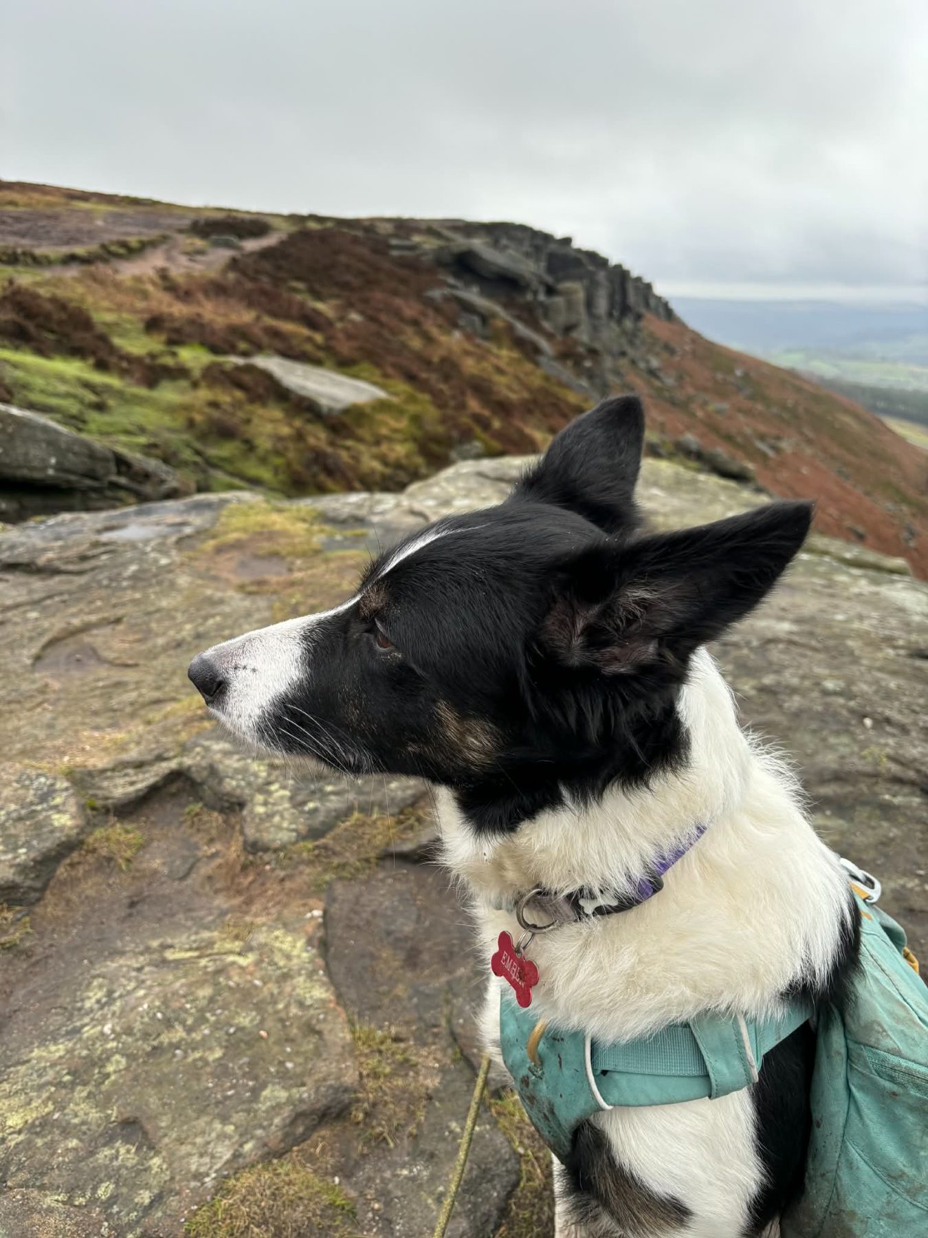
Ember on route
Ember settled well and handled the route rhythm throughout.
Reflection
A strong day out with both practical and reflective value.
Route data
- Distance from GPX: 11.61 mi
- Elevation gain from GPX: 7260 ft
- GPX elapsed time: 4h 47m 19s
- Average speed (from GPX time): 2.42 mph
- Average pace (from GPX time): 24.75 min/mi
Photo highlights
- Peak District route image: 5da590c5 0884 4c1c 8fc1 012850f889fa.
Downloads and Links
Parking: Parking available near route start; check facilities before travel.
Mountain weather: MWIS forecast
General weather: Met Office