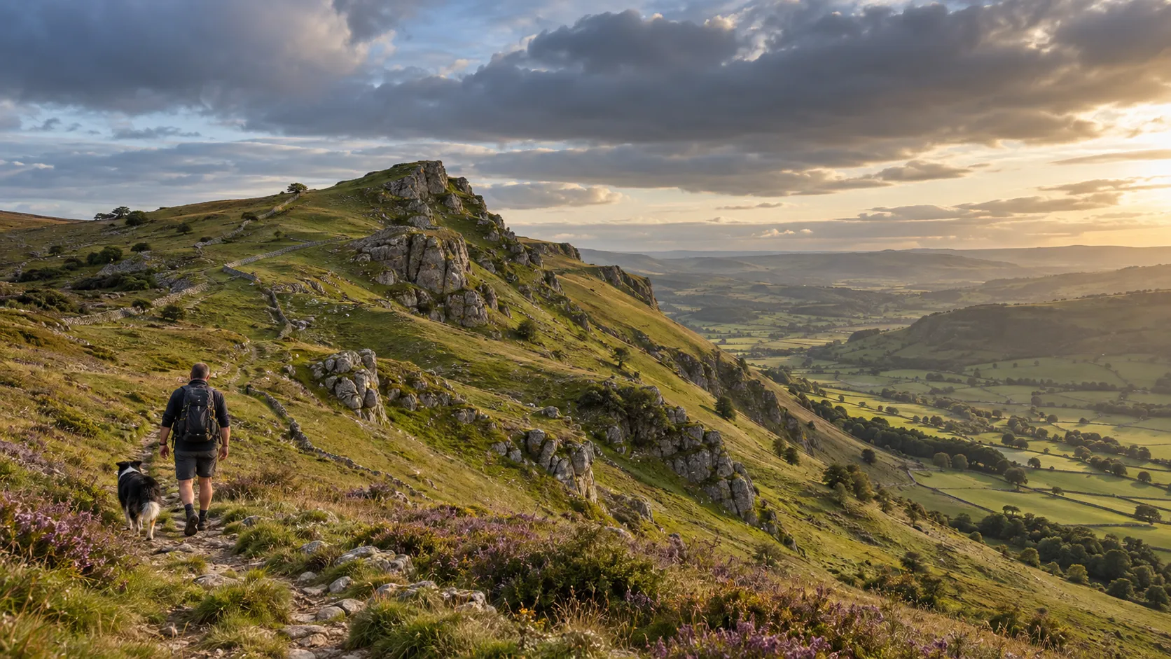
Walking with Ember · dog-first route notes
A good walk shouldn’t end in an apology to your dog.
Every route walked. Every note earned.
Explore routesIllustration · Nick and Ember
- 6 routes written up
- 59 walks on file
- 439 miles of GPX
- Peak District & Charnwood
Worked example · Redmires Reservoir Circular · the line above is its GPX
What the GPX doesn’t tell you.
A GPX file knows how far, how high and where you turned. It has no idea where your dog can drink, which stretch the law says is lead-only, or that the stepping stones were spaced for boots. That’s the half of the route we write down.
- The file says
-
10.6 miabout 8 mi as a route 325 m ascent 4h52 moving High point ~415 m
- The first mile
Walked twice.
We dropped a piece of kit and went back for it. The GPX keeps the retrace, bump and all, so it reads long. Followed as a route, it’s closer to 8 miles.
- Around mile 3 · high point
Open Access moor.
From 1 March to 31 July your dog is on a lead no longer than 2 m, for ground-nesting birds. It’s the law most walkers don’t know. No shelter up here either.
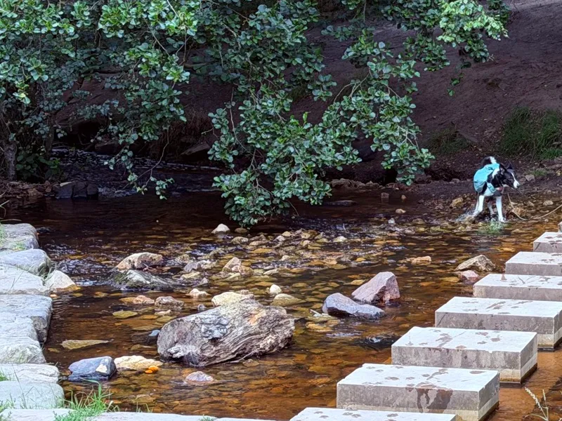
- Mile 6.8 · Wyming Brook
The only reliable water.
Once you’re up on the moor, the brook is the drink. The way down is steep cut-stone steps: not a run-ahead path, and easier on a long lead than a short one.
- Mile 8.5 to the finish
The climb waits for you.
Of the day’s 325 m of ascent, 141 m comes in the last fifth. The walk out is gentle. You pay for it coming home, and so do tired paws.
The key
Six things decide whether a route works for a dog. Every write-up checks them.
- LivestockNone · likely · certain A farmer may lawfully shoot a dog worrying a flock.
- WaterNone · some · plenty The difference between a good summer day and carrying litres.
- StilesNone · few · several · many Decides whether a big or an older dog can do the route at all.
- Lead restrictionsAccess land · 1 Mar–31 Jul A 2 m lead by law in nesting season, livestock or not.
- TerrainEasy · rough · scrambly Hands-on ground is no place for a dog that needs carrying.
- Road exposureNone · short · significant Where the lead goes on and you watch for traffic.
Where we haven’t checked something, the route page leaves it out. We don’t guess.
Read the full Redmires Reservoir Circular write-upSix routes, written up properly.
Each one walked, photographed and checked for the six things above. Another 53 are in the archive with their GPX while the write-ups catch up.
-
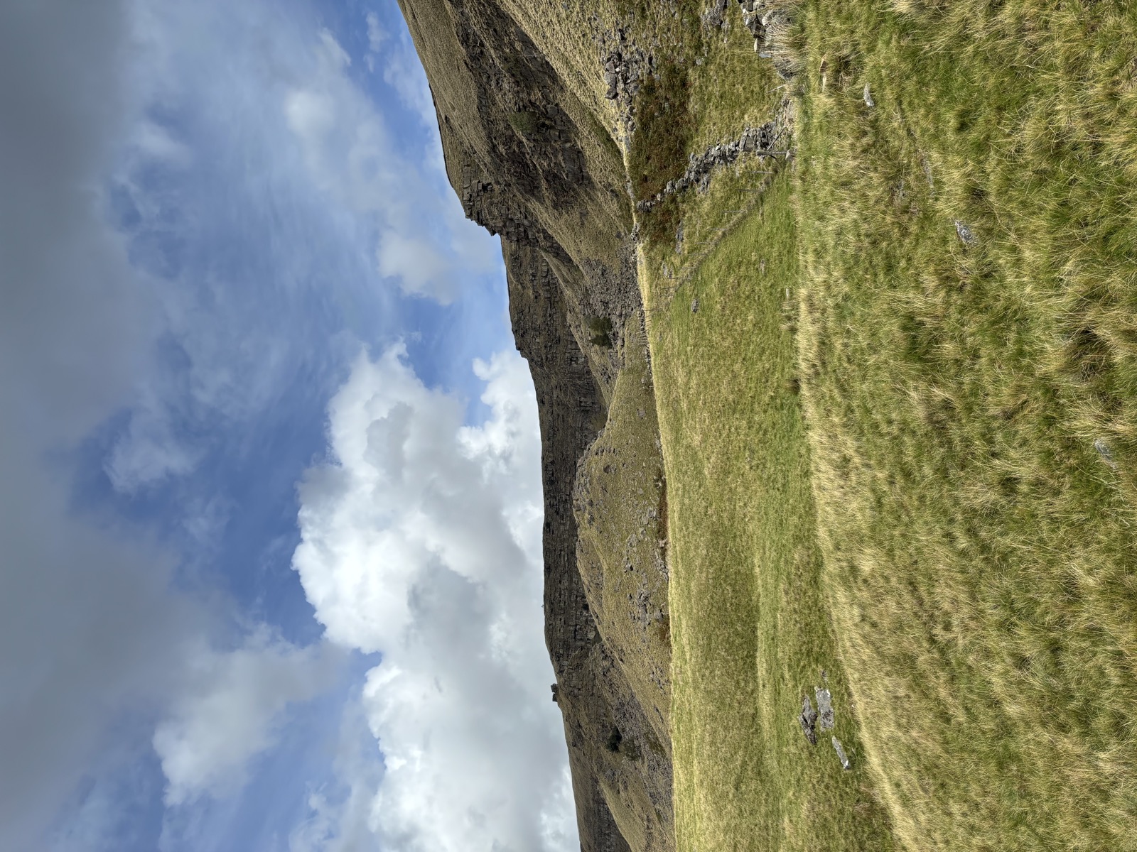
Alport Castles from the Derwent
Alport Dale, Hope Woodlands · Hard 14.9 mi · 1,011 m -
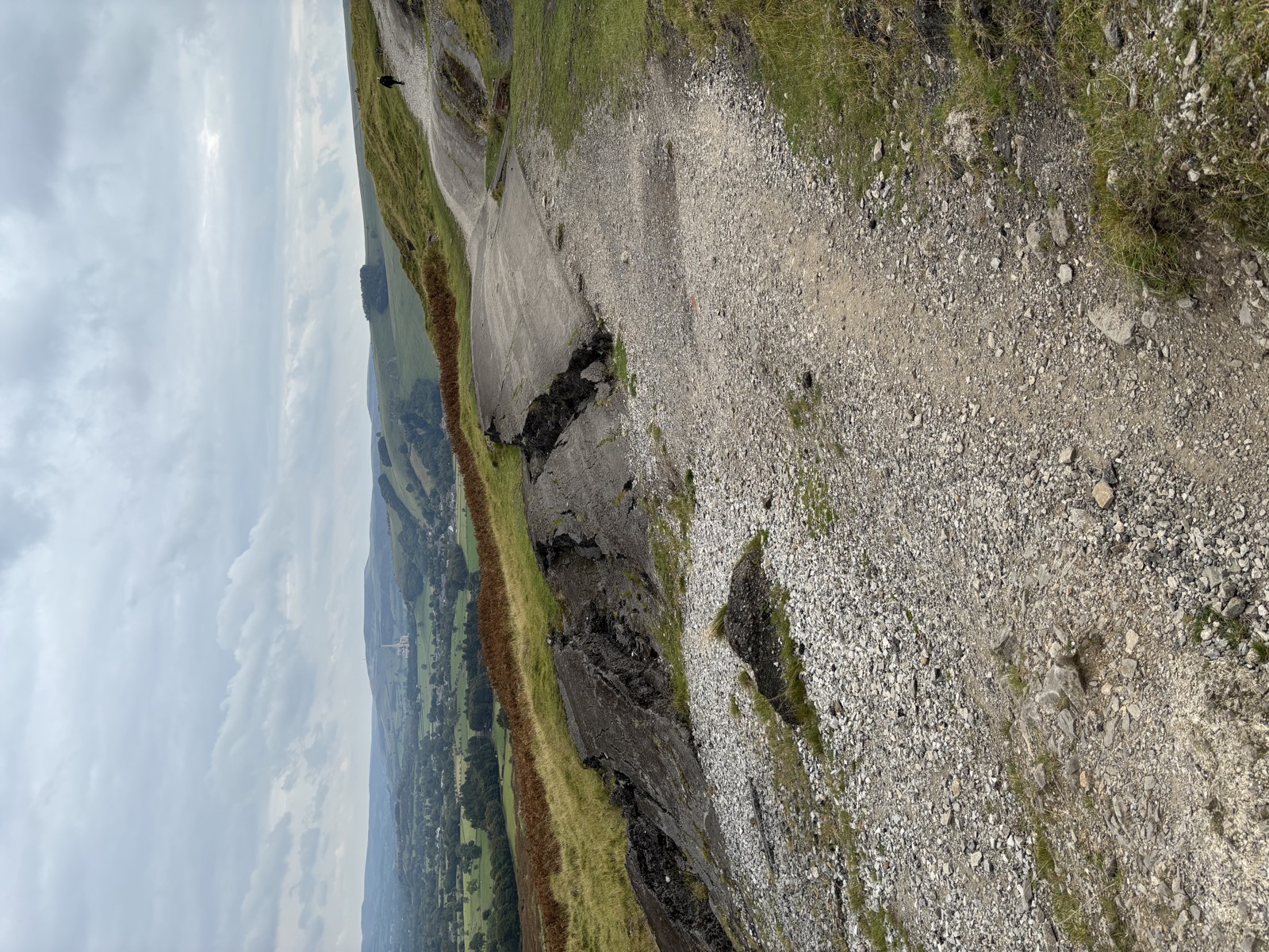
Brown Knoll and the Edale Skyline
Hayfield, High Peak · Hard 14.7 mi · 962 m -
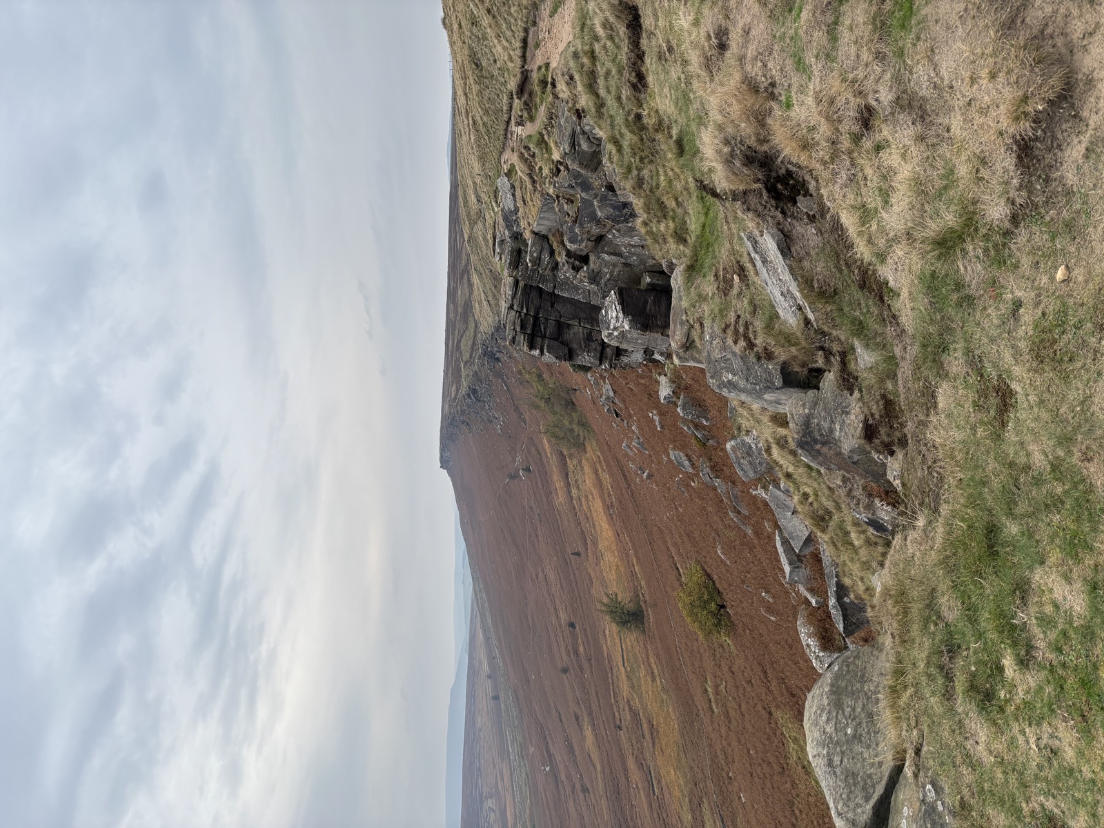
Stanage Edge and Wyming Brook
North Lees, Hathersage · Hard 16.2 mi · 811 m -
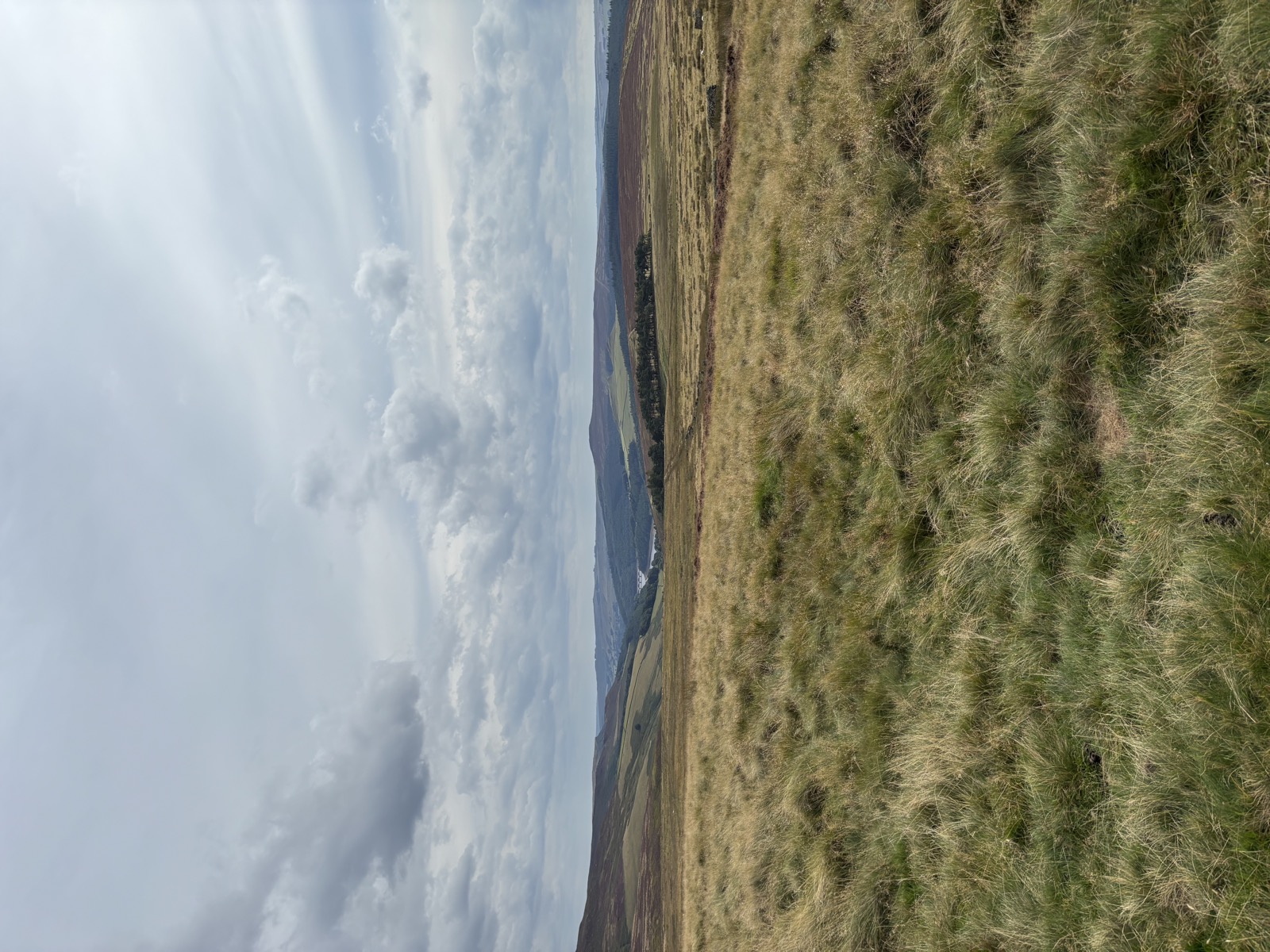
High Stones and the Howden Moors
Derwent, Upper Derwent Valley · Hard 14.7 mi · 898 m -
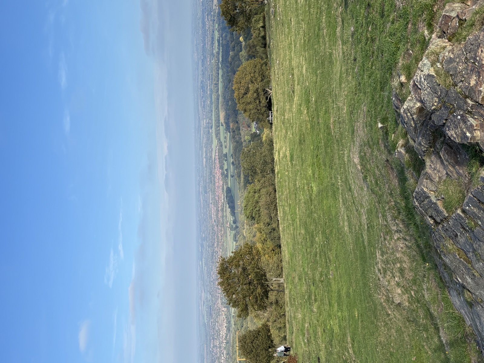
Beacon Hill and Swithland
Woodhouse Eaves, Charnwood · Hard 14.6 mi · 752 m -
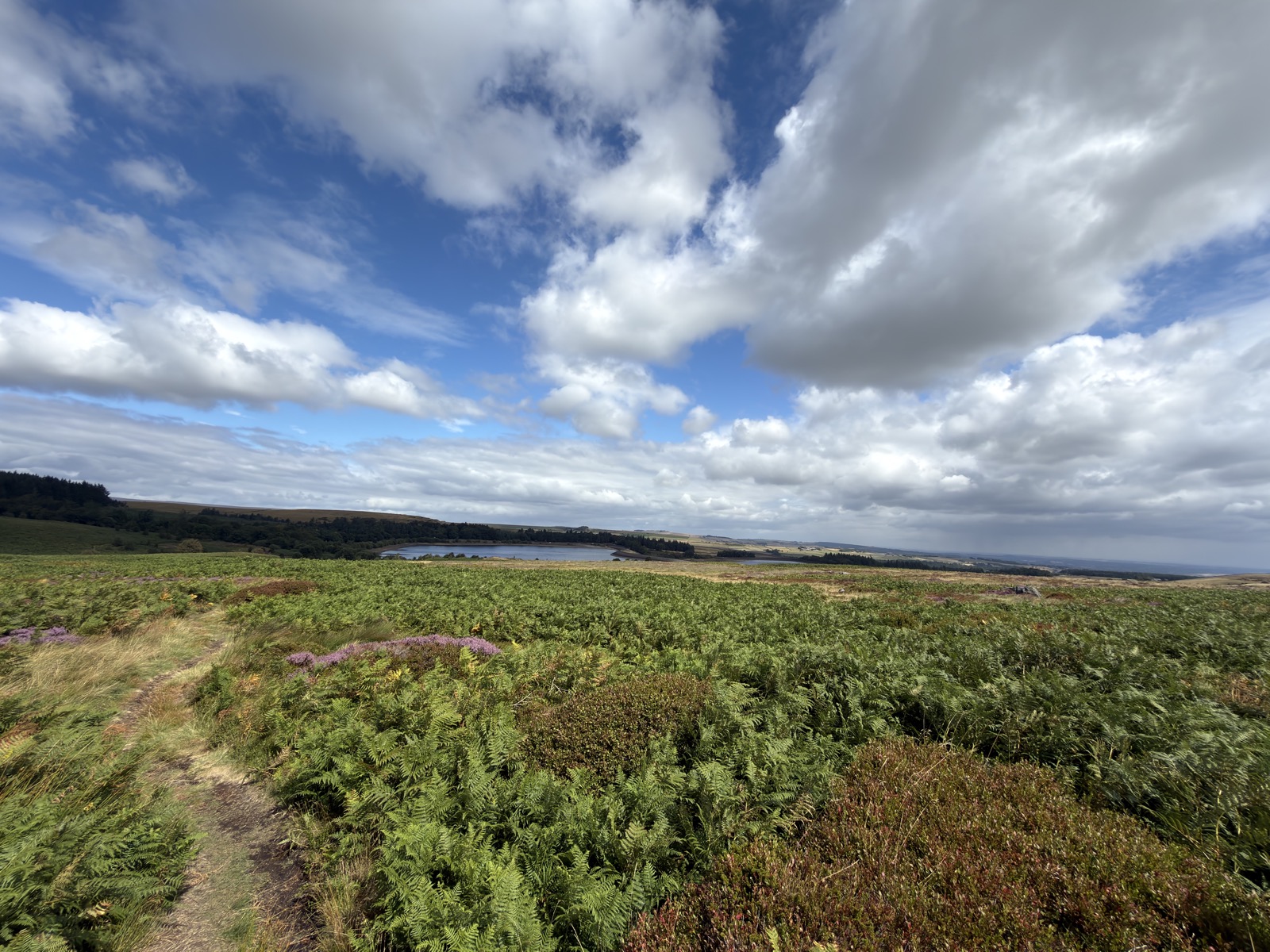
Redmires Reservoir Circular
Redmires, Sheffield · Moderate 8 mi · 325 m