Walks
Route finder for UK hills and mountains. Filter by region, distance, difficulty, tags, and dog access.
Before You Set Off
- Check weather and wind exposure for high ground.
- Download GPX and carry offline mapping backup.
- Plan parking and daylight margins, especially in winter.
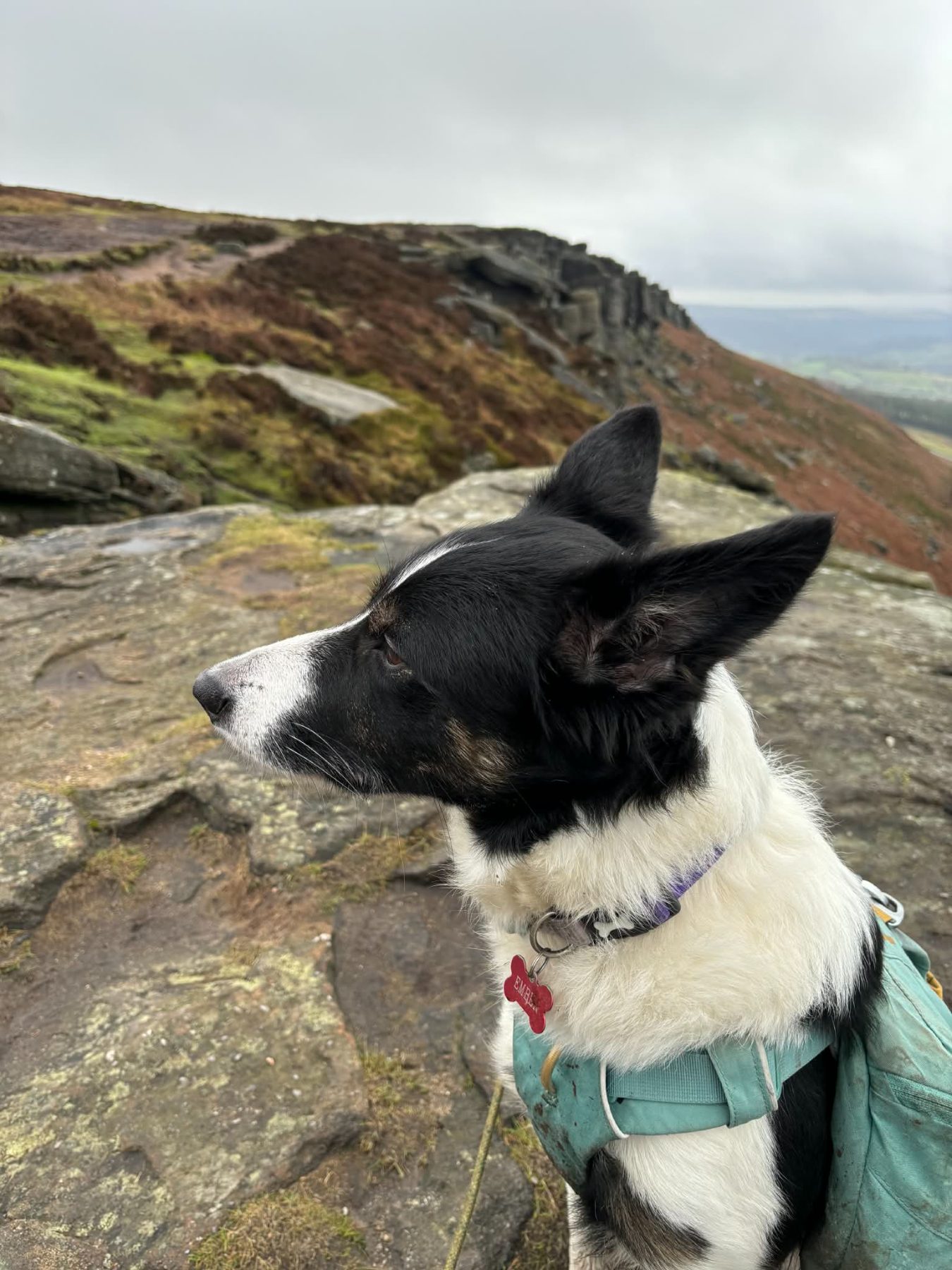
Dog Trail Intelligence
- Filter by dog-friendly routes only.
- Use route notes for livestock and lead-sensitive sections.
- Carry water, paw towel, and spare lead.
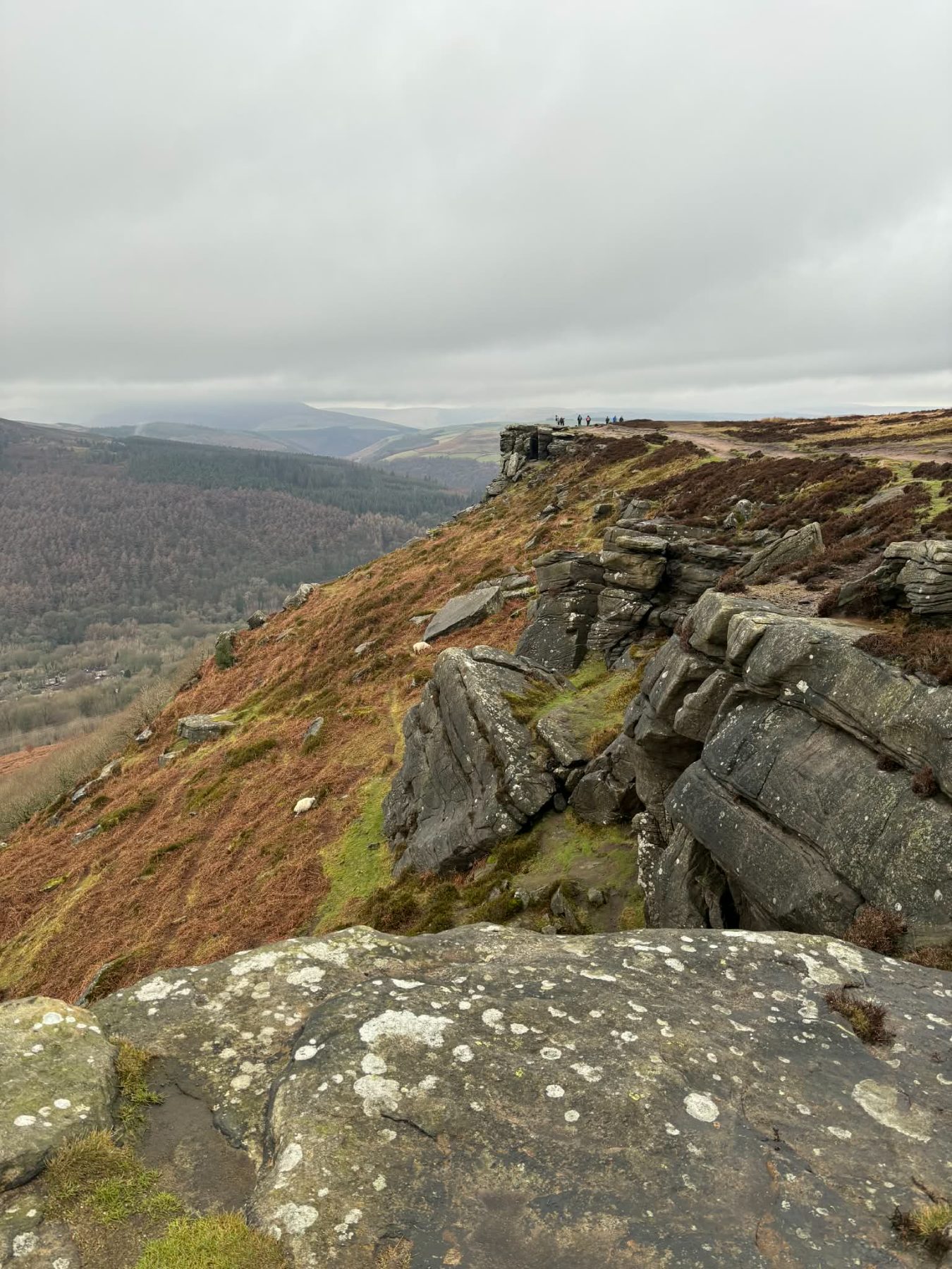
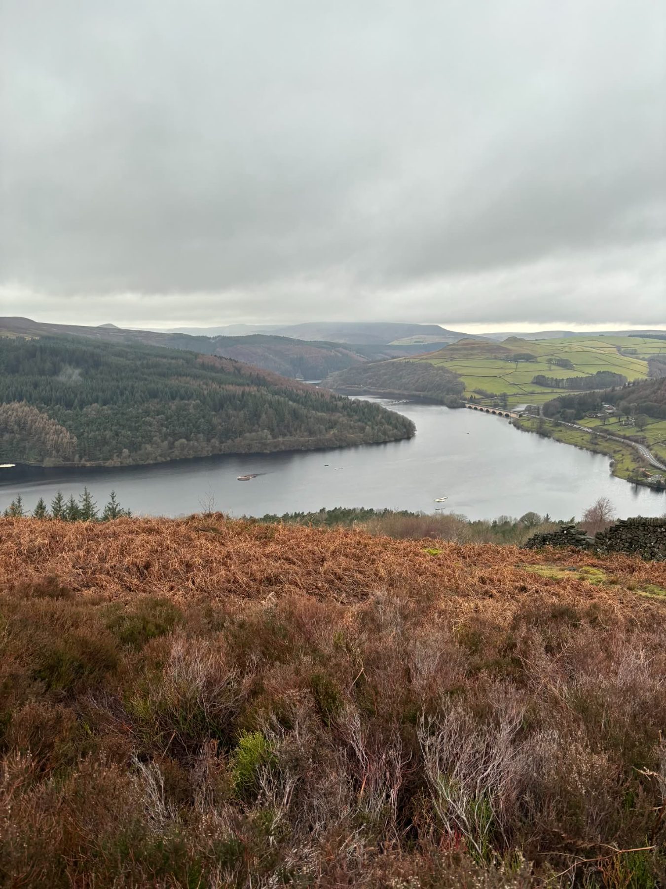
Win Hill and Bamford Edge · 11.61 mi · Hard
A reflective route day with practical trail notes and conditions captured from the walk.
- Peak District
- Peak District
- Hard
Peak District National Park · 8.2 mi · Moderate
A classic Peak District ridge walk with broad views, gritstone edges, and straightforward navigation.
- Peak District
- Gritstone
- Ridge Walk

Yorkshire Dales · 5.4 mi · Easy
A lower-level circular route with riverside paths, village sections, and steady gradients.
- Yorkshire Dales
- Riverside
- Circular
Northumberland Coast · 6.8 mi · Moderate
A sea-view route on open coastal paths with short climbs and exposed cliff-top sections.
- Northumberland
- Coastal
- Wildlife
Draft Walks (Admin)
Visible only when logged in as admin.
Peak District · 11.61 mi · Hard · Draft
A reflective route day with practical trail notes and conditions captured from the walk.
- Draft
- Peak District
- Peak District
Win Hill · 11.61 mi · Hard · Draft
A reflective route day with practical trail notes and conditions captured from the walk.
- Draft
- Peak District
- Peak District