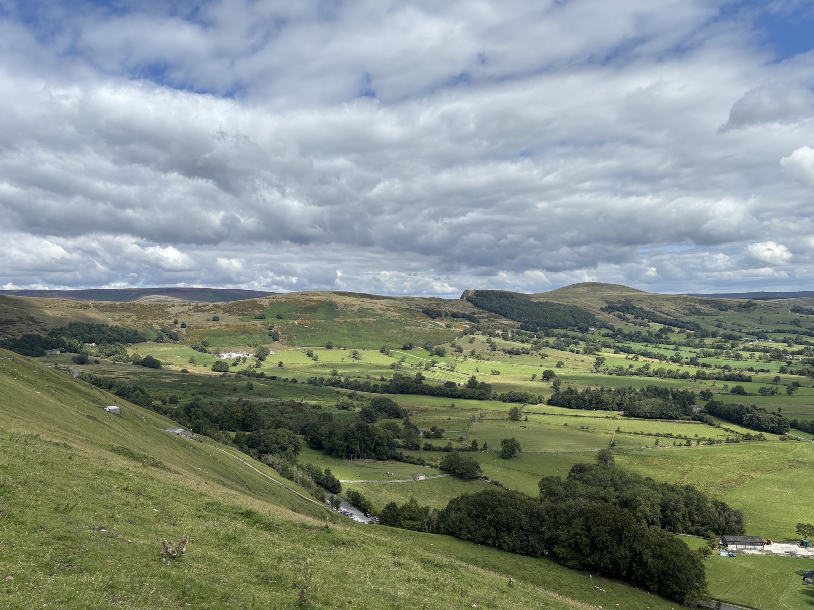
Edale, 10.1 miles
10.1 miles and 880m of ascent around Edale, walked in 5h37. Route notes to follow.
Getting there
- Grid reference
SK 1490 8304- Postcode
S33 8WN
Route Map
Open In New Tab3D Route
Full screen ↗Map and navigation
The line on the map is the GPX from the day, so it is the route as actually walked. You will not find numbered directions telling you to bear left at the third gate.
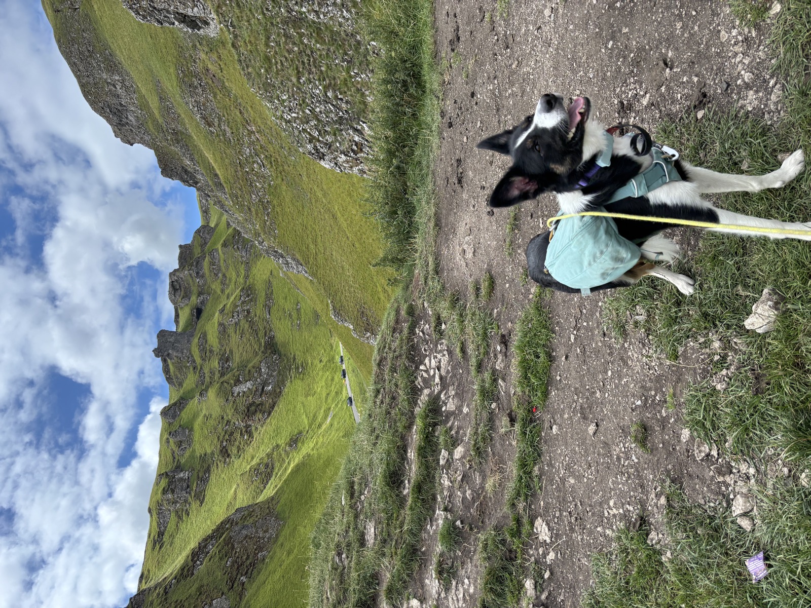
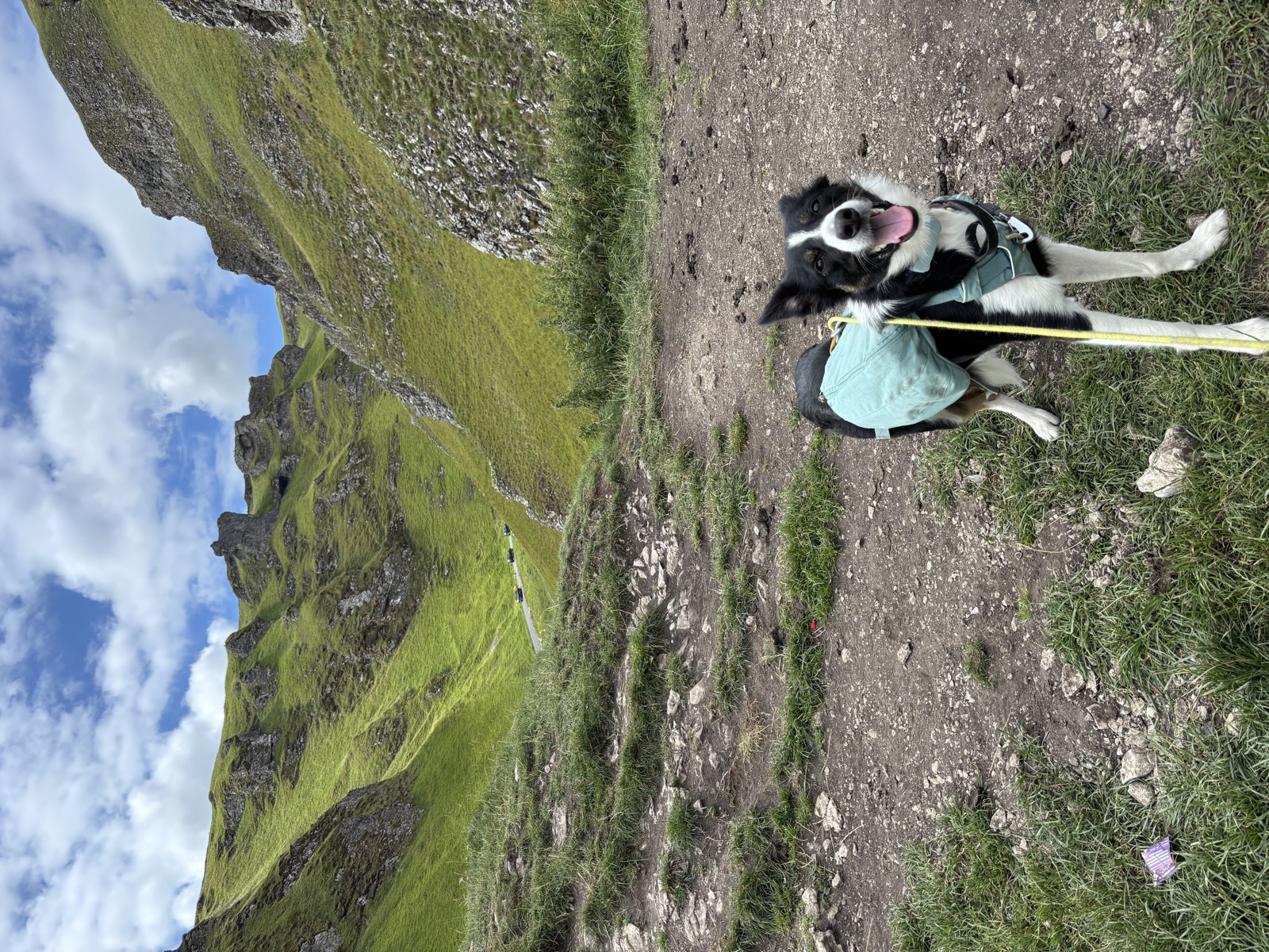
That is on purpose. This is not about telling you where to go. It is about sharing a route that works with a dog, and getting you out to explore it yourself.
Write-up coming soon
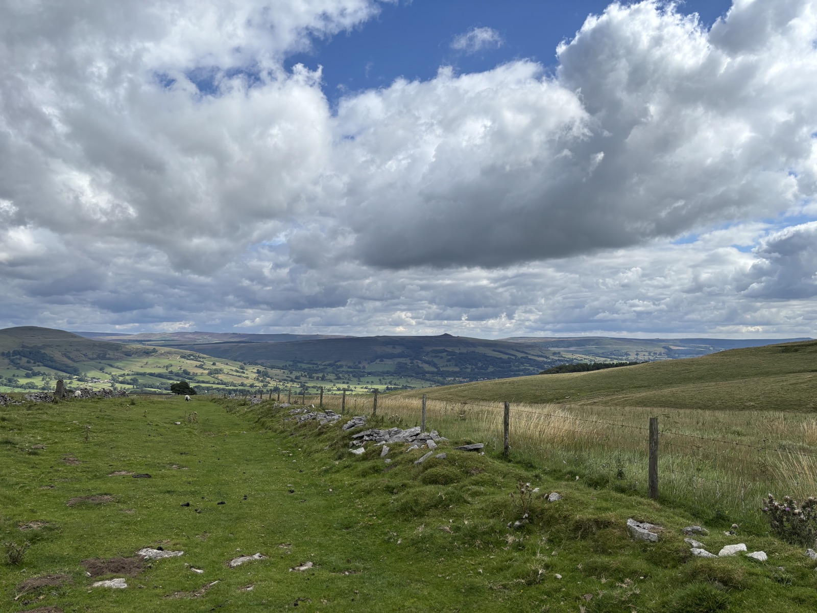
The route is here and so is the GPX, but the words are not written yet. Everything on this page is recorded: the line on the map is the track from the day, the photographs are pinned where they were taken, and the numbers come off the GPS.
What is missing is the part worth reading. That comes when Nick gets to it.
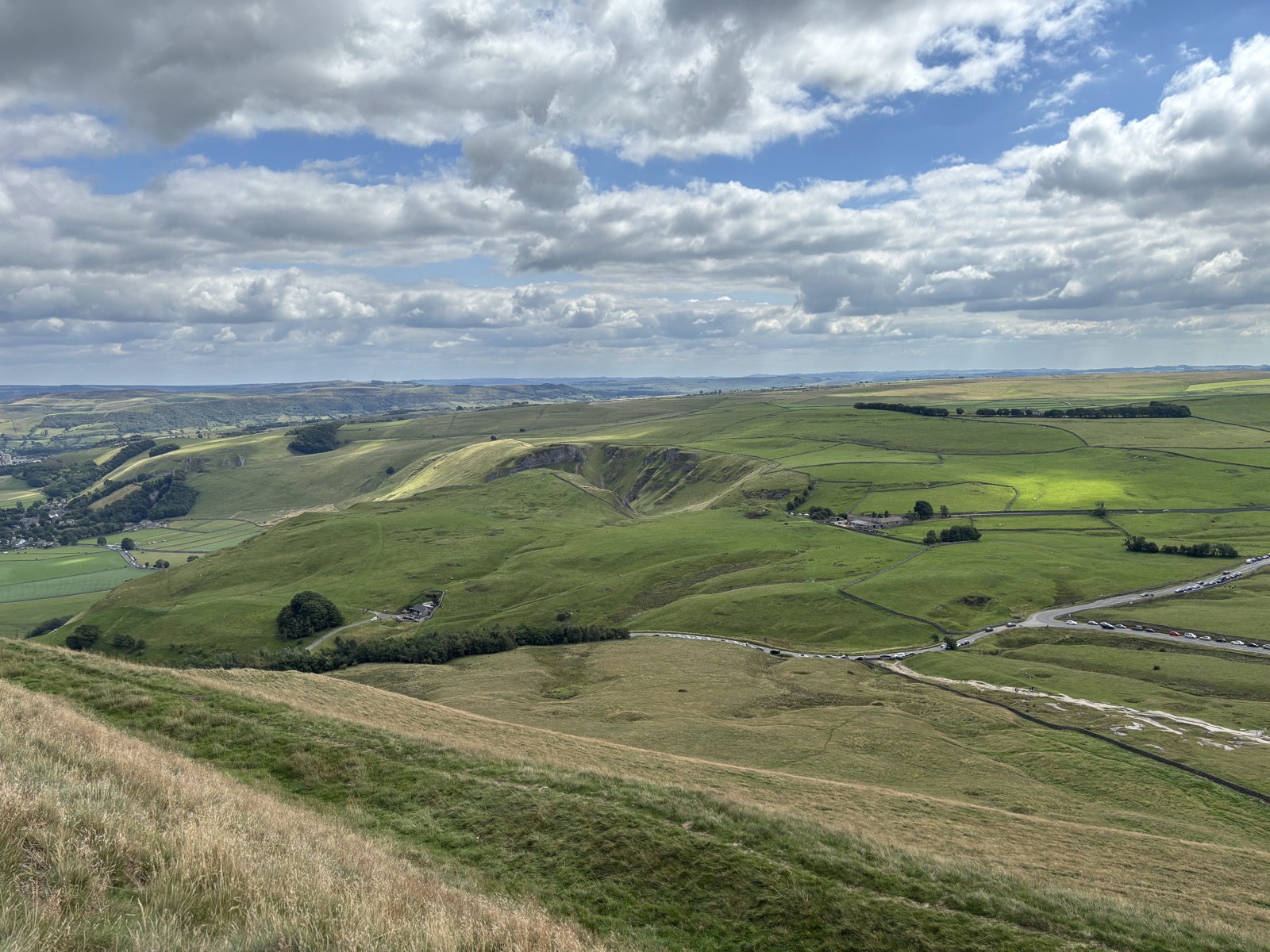
Photos from this walk
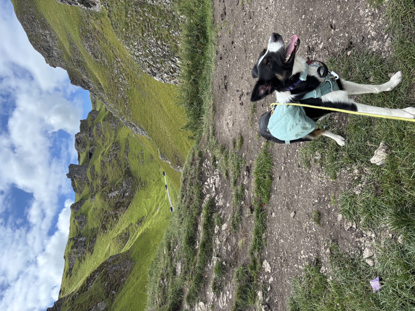
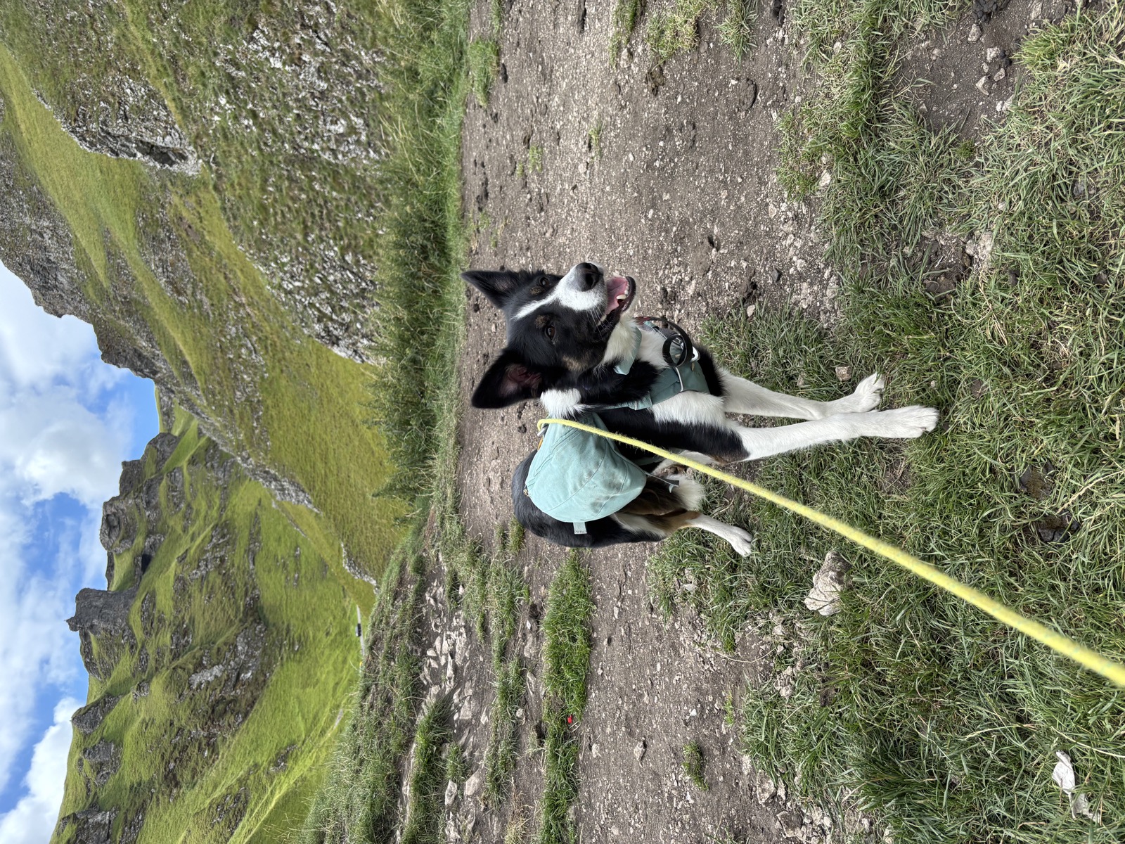
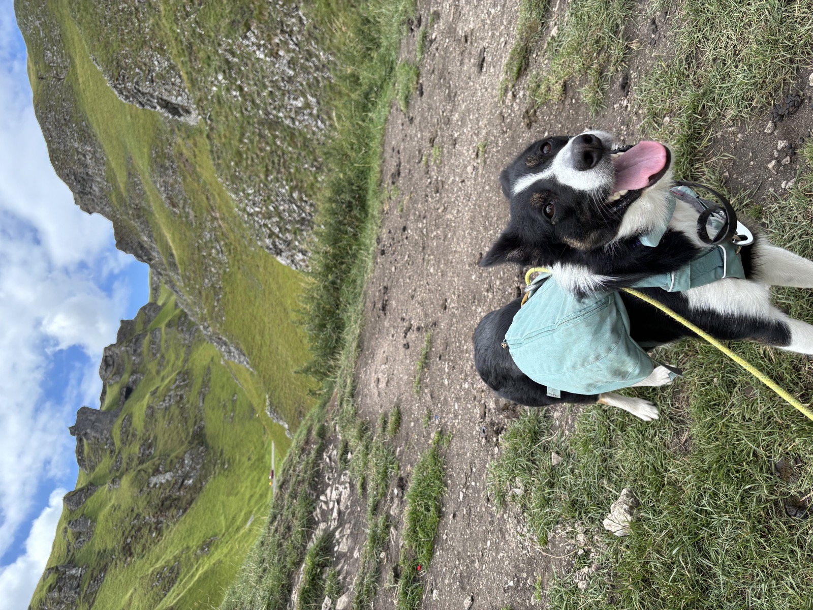
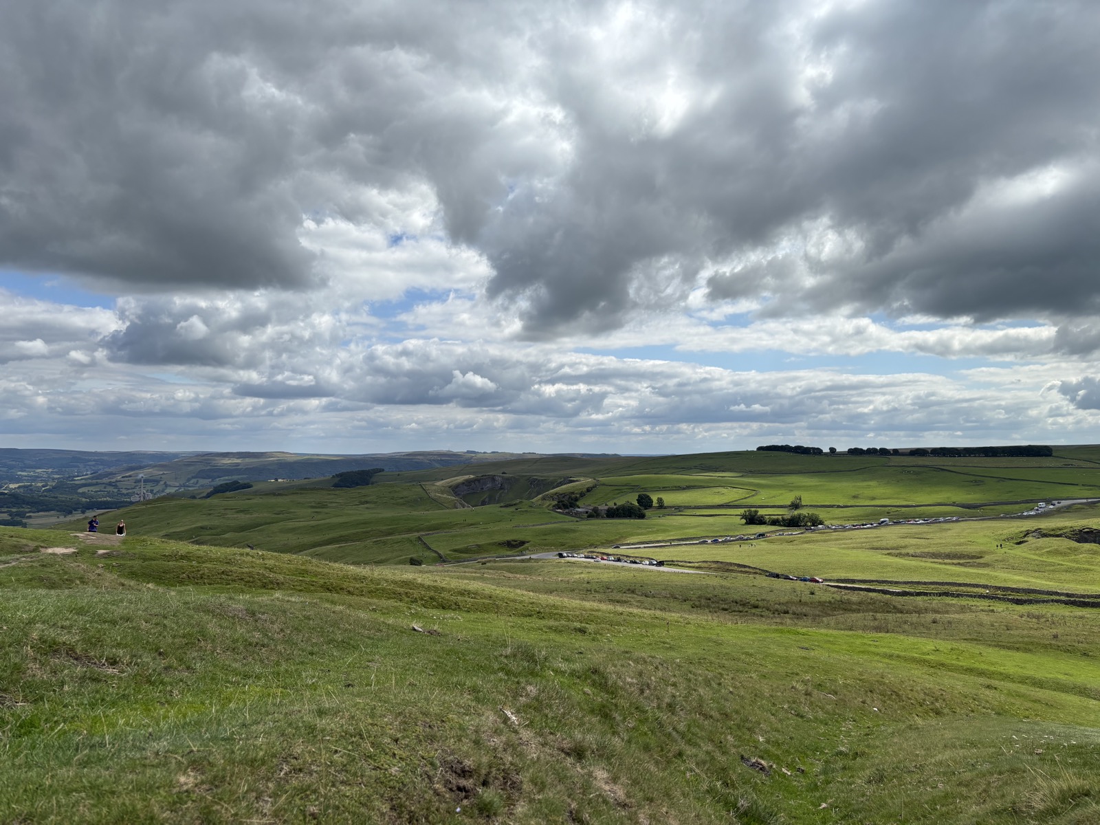
9 photographs, in the order we came to them.
Downloads and Links
Mountain weather: MWIS forecast
General weather: Met Office
Nearby walks
Other routes starting within a few miles of this one.
- High Peak, 9.2 miles9.2 mi · 559m · Moderate4.4km awayGPX
- Brown Knoll and the Edale Skyline14.7 mi · 962m · Hard4.5km away
- Hope Valley to High Peak, 11.9 miles11.9 mi · 947m · Hard4.9km awayGPX
- High Peak, 11.6 miles11.6 mi · 957m · Hard5.3km awayGPX