Before You Set Off
- Check weather and wind exposure for high ground.
- Download GPX and carry offline mapping backup.
- Plan parking and daylight margins, especially in winter.
Route finder for UK hills and mountains. Filter by region, distance, difficulty, tags, and dog access.
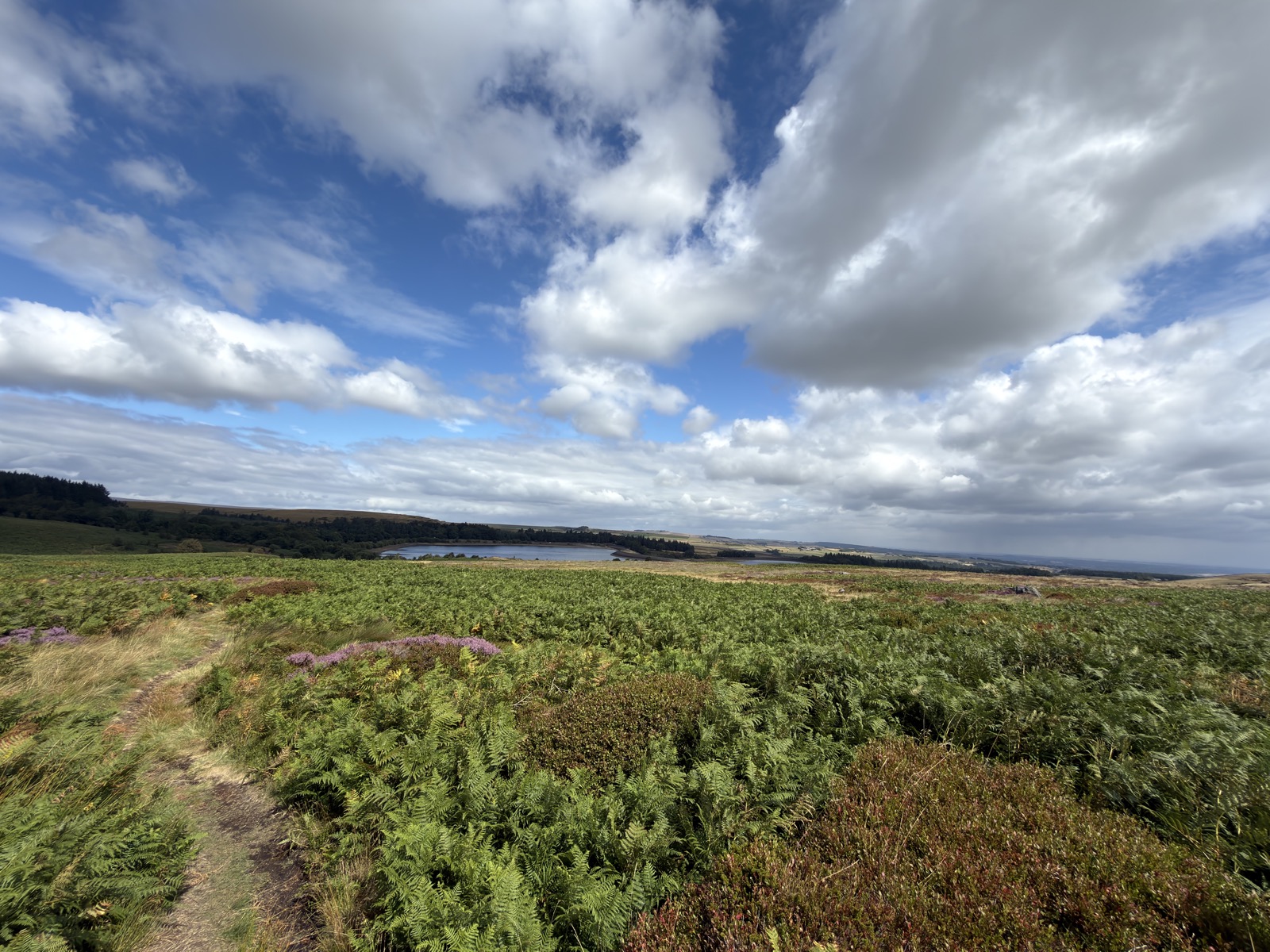
Redmires, Sheffield · 10.6 mi · Moderate
Out over the moor to Ringinglow, then down through the Wyming Brook cascades to the Rivelin valley and back up to Redmires. Roughly 8 miles as a route, with the climbing all saved for the end.
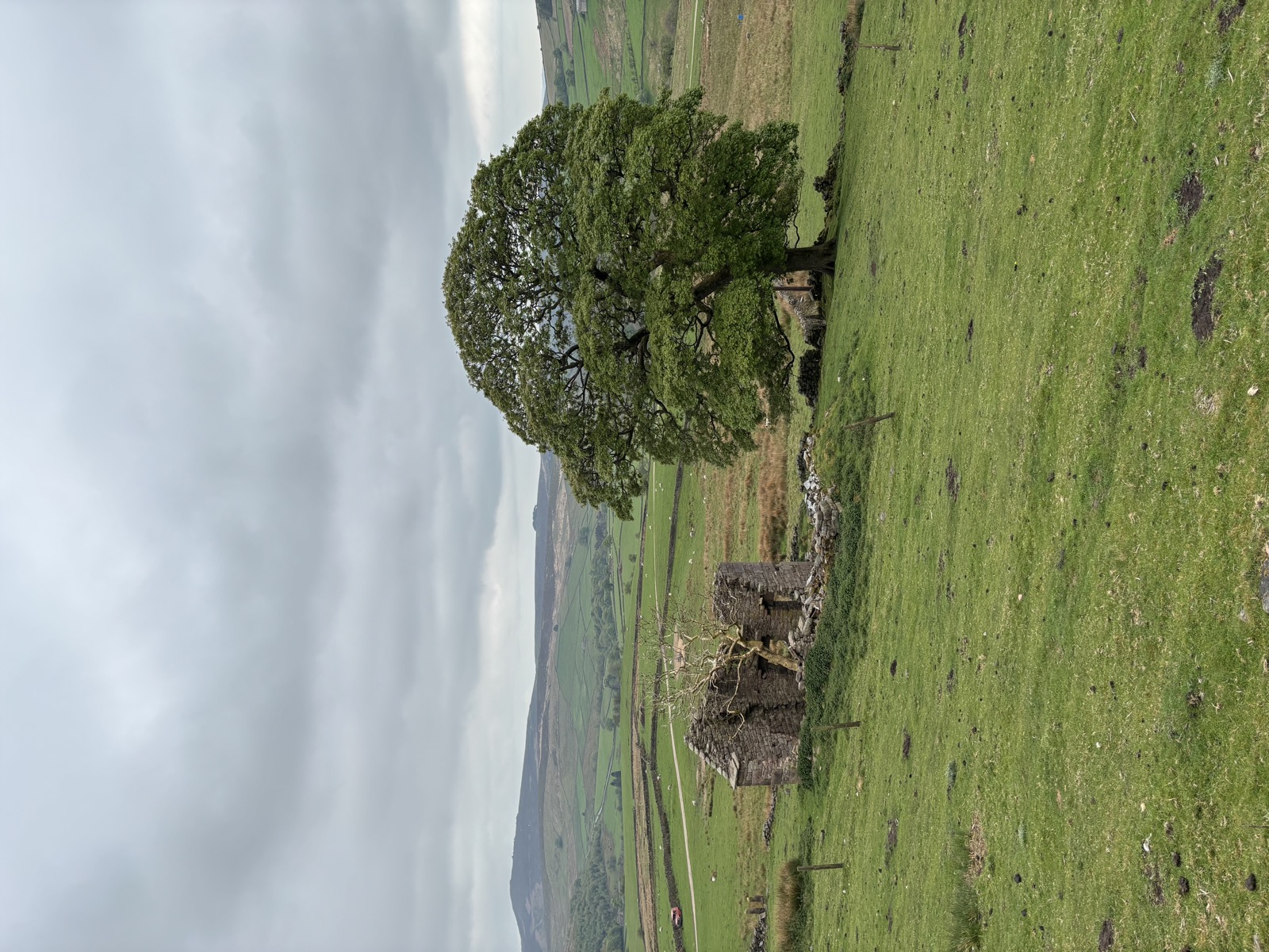
High Peak, Derbyshire · 10.2 mi · Moderate
10.2 miles and 726m of ascent around High Peak, walked in 4h50. Route notes to follow.
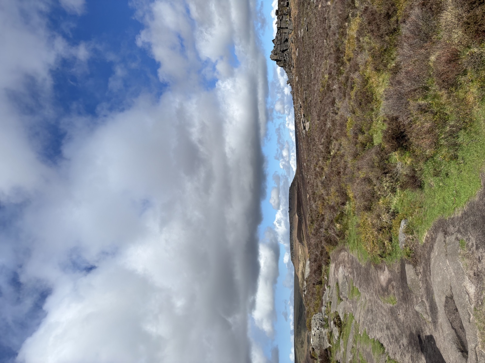
Calver Sough, Derbyshire · 8 mi · Moderate
8 miles and 692m of ascent around Calver Sough, walked in 5h02. Route notes to follow.
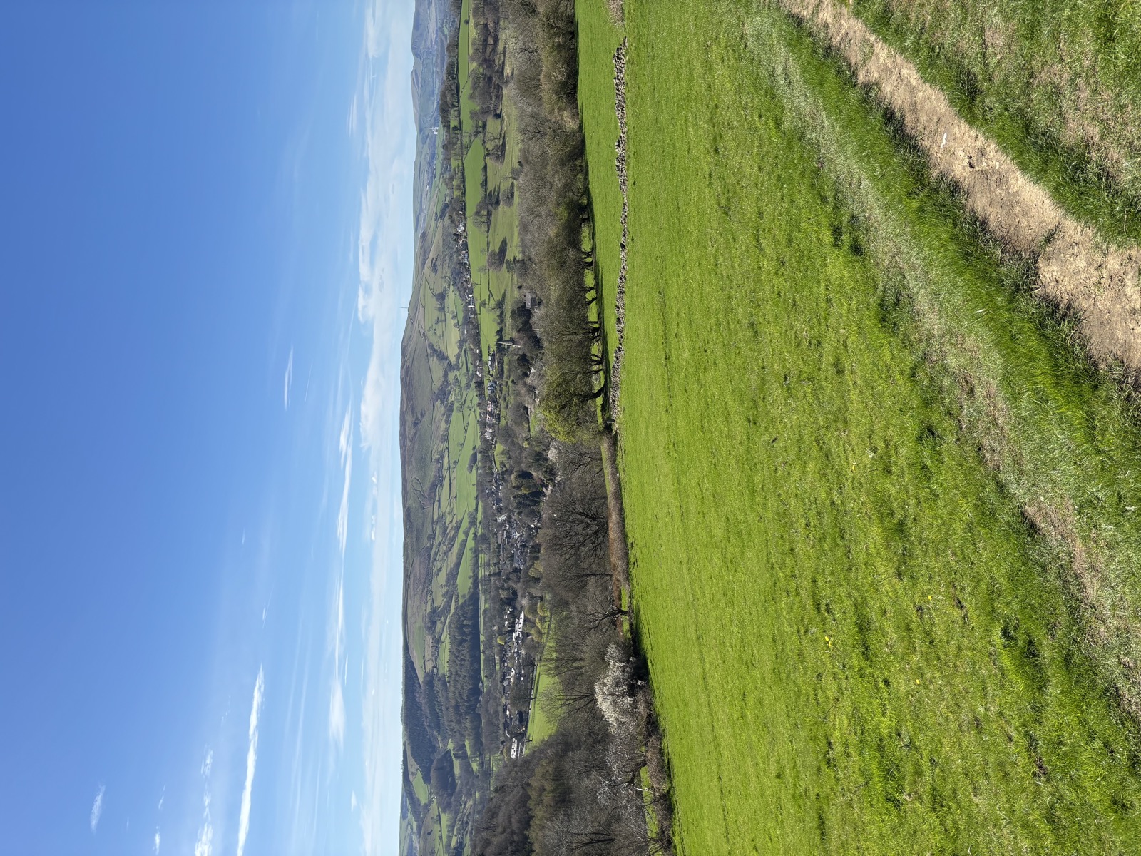
Sheffield, South Yorkshire · 10.2 mi · Moderate
10.2 miles and 711m of ascent around Sheffield, walked in 5h04. Route notes to follow.
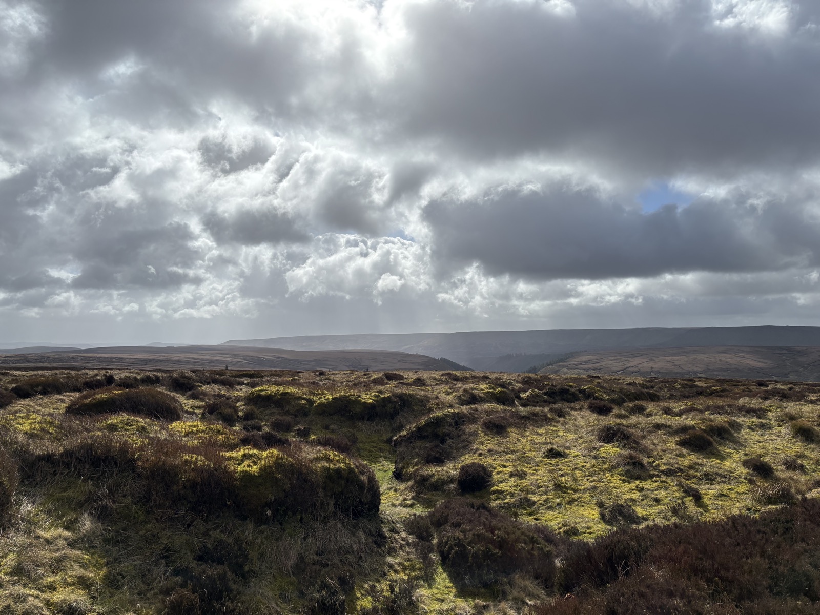
High Peak, Derbyshire · 5.8 mi · Moderate
5.8 miles and 457m of ascent around High Peak, walked in 2h30. Route notes to follow.
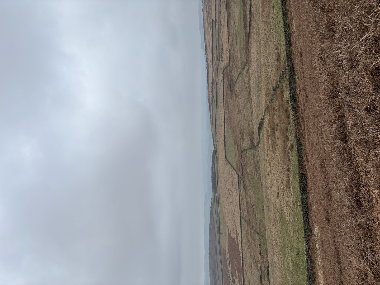
Baslow, Derbyshire · 11.2 mi · Moderate
11.2 miles and 482m of ascent around Baslow, walked in 4h13. Route notes to follow.
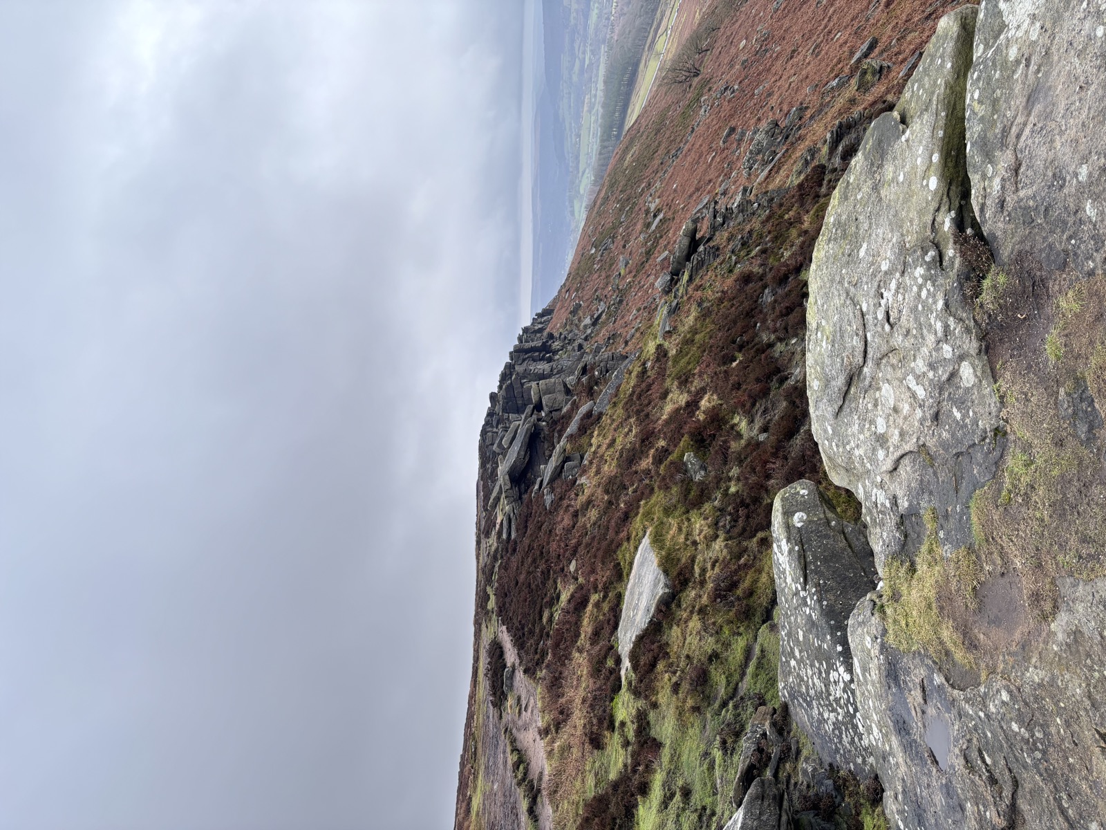
High Peak, Derbyshire · 11.6 mi · Hard
11.6 miles and 957m of ascent around High Peak, walked in 4h47. Route notes to follow.
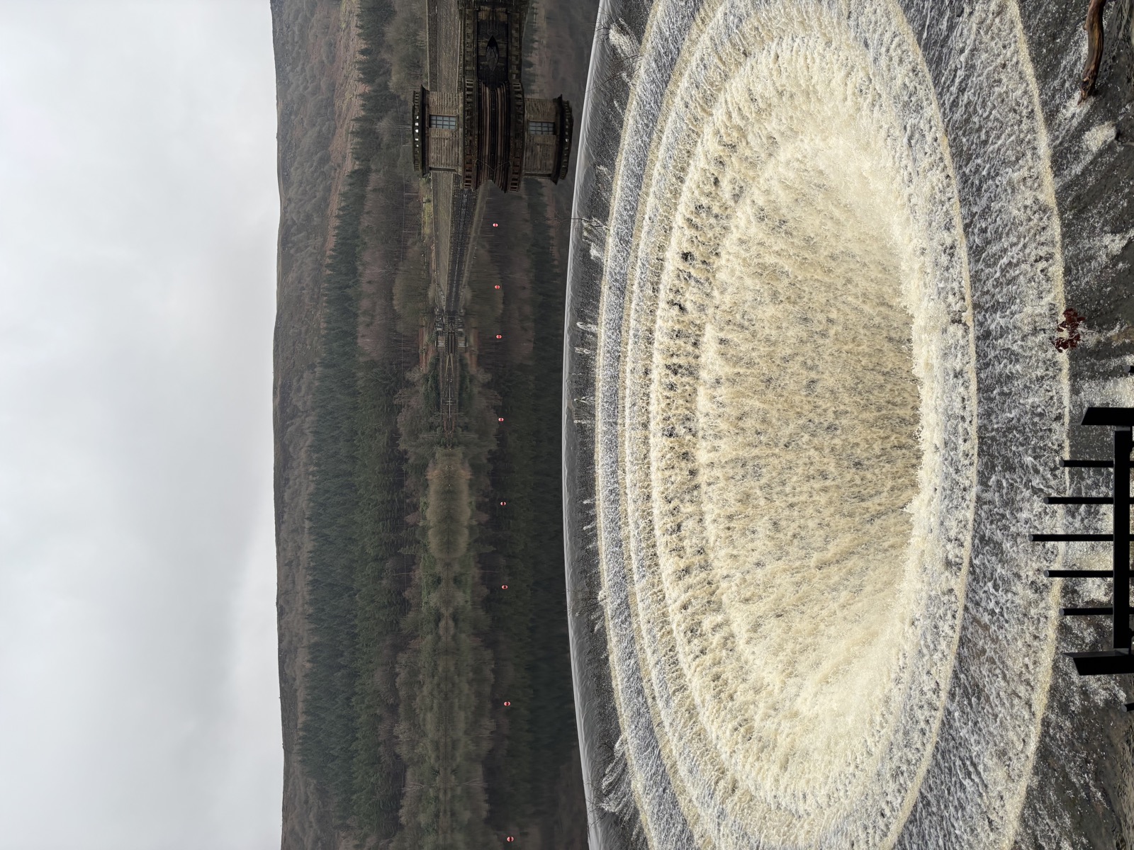
High Peak, Derbyshire · 9.2 mi · Moderate
9.2 miles and 559m of ascent around High Peak, walked in 4h23. Route notes to follow.
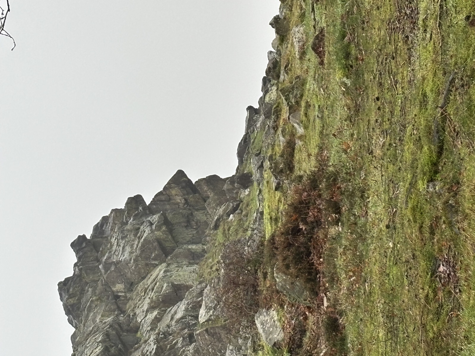
Woodhouse Eaves, Leicestershire · 7.9 mi · Moderate
7.9 miles and 493m of ascent around Woodhouse Eaves, walked in 3h03. Route notes to follow.

Coalville, Leicestershire · 9.6 mi · Moderate
9.6 miles and 341m of ascent around Coalville, walked in 4h17. Route notes to follow.

Coalville, Leicestershire · 2.8 mi · Easy
2.8 miles and 78m of ascent around Coalville, walked in 1h00. Route notes to follow.
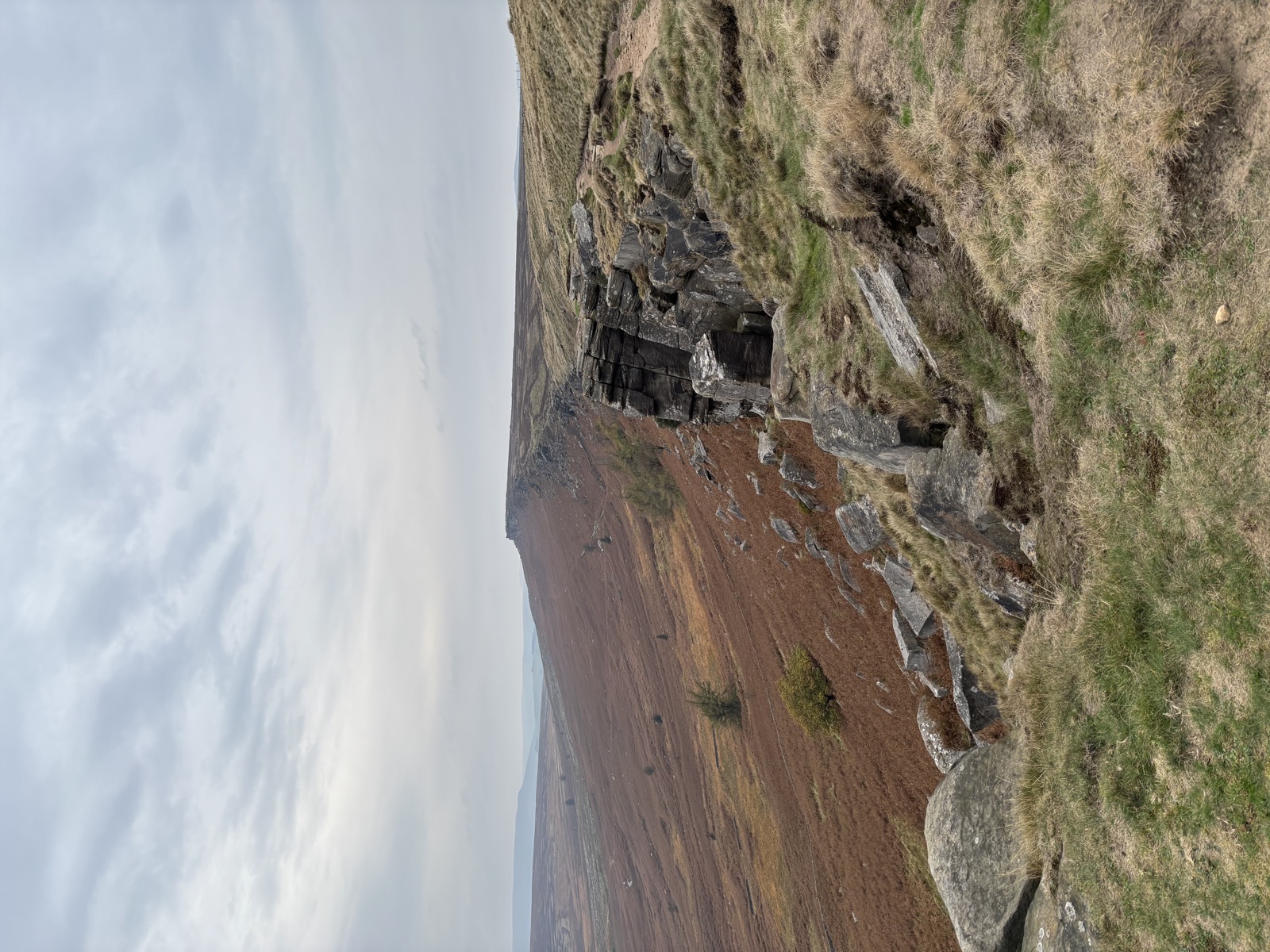
North Lees, Hathersage · 16.2 mi · Hard
A long circuit from North Lees over Stanage to High Neb, north to Hollow Meadows, then down Wyming Brook and back across the moor. 16.2 miles and the climbing never really stops.
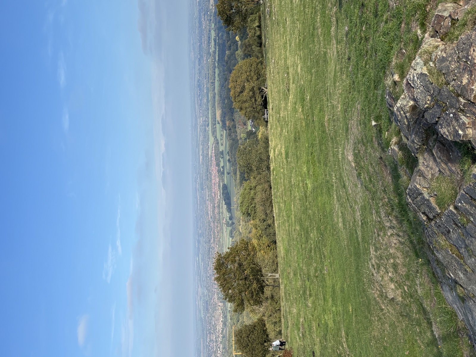
Woodhouse Eaves, Charnwood · 14.6 mi · Hard
14.6 miles and 752m of ascent around Swithland, walked in 5h45. Route notes to follow.
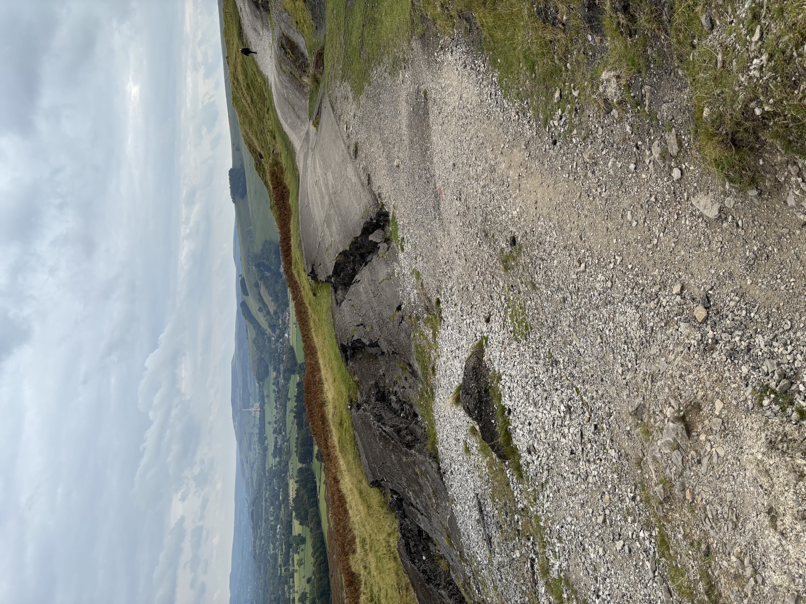
Hayfield, High Peak · 14.7 mi · Hard
14.7 miles and 962m of ascent around Upper Booth, walked in 6h01. Route notes to follow.
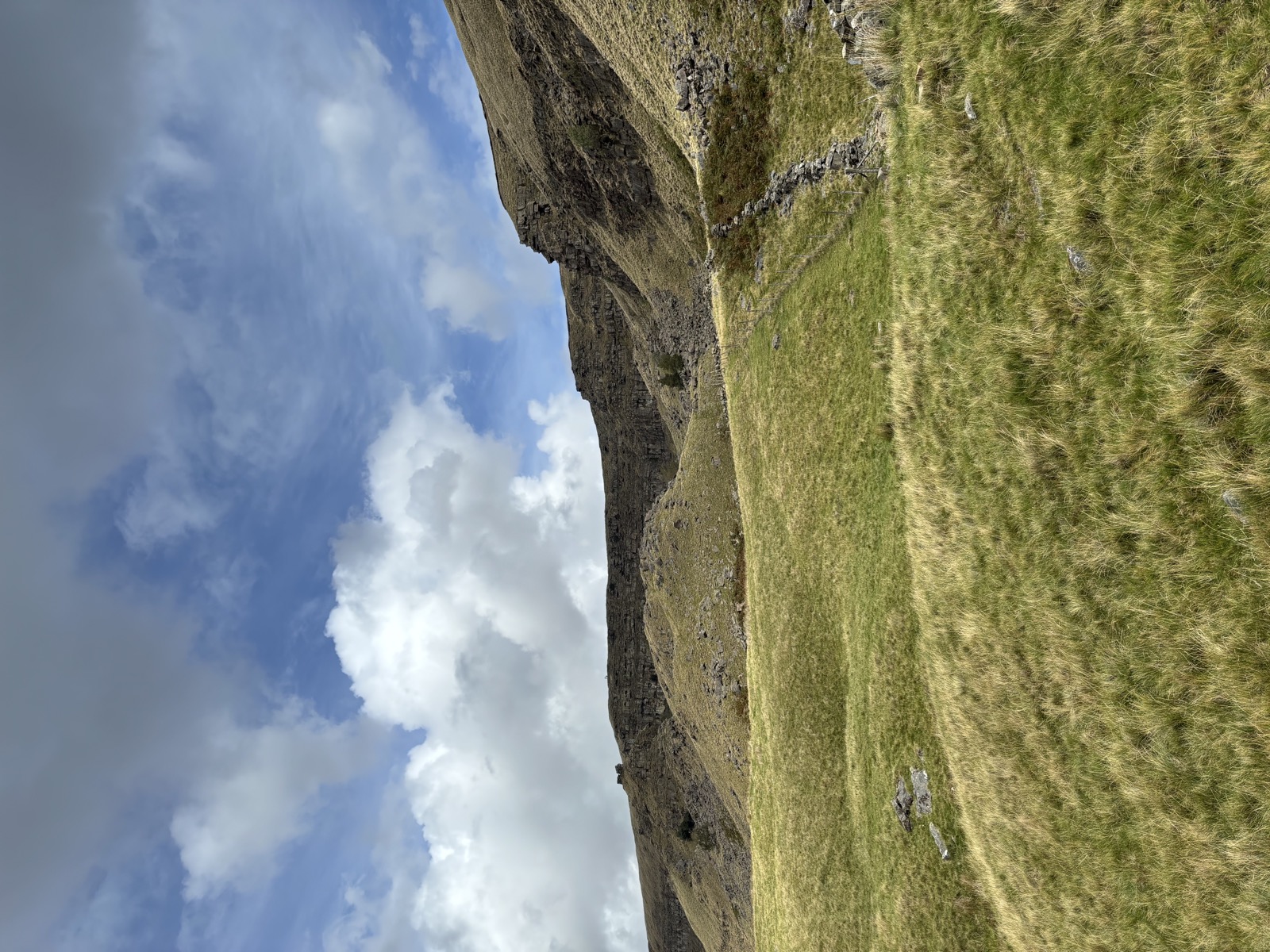
Alport Dale, Hope Woodlands · 14.9 mi · Hard
Up from the Derwent onto Alport Moor for a view of the Castles, the largest landslip in Britain. 14.9 miles and 1011m of climbing, the biggest day here.
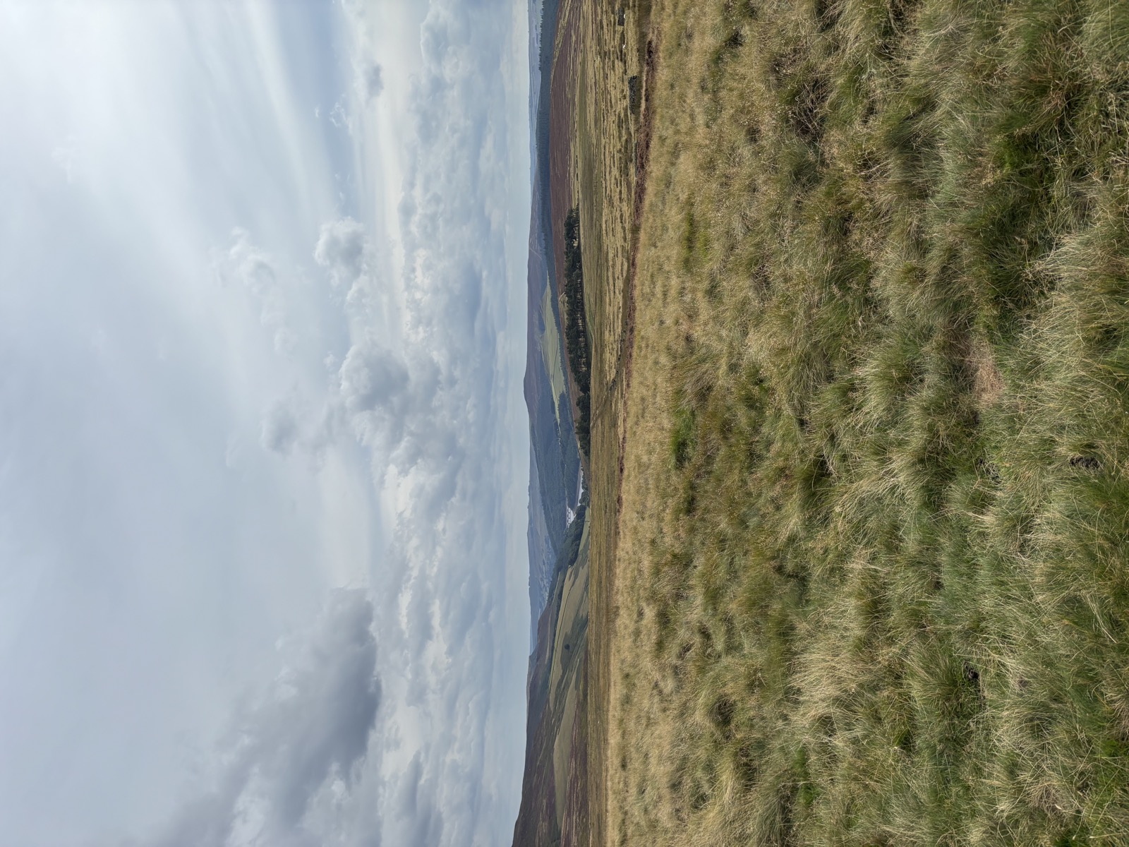
Derwent, Upper Derwent Valley · 14.7 mi · Hard
14.7 miles and 898m of ascent around Sheffield, walked in 6h19. Route notes to follow.
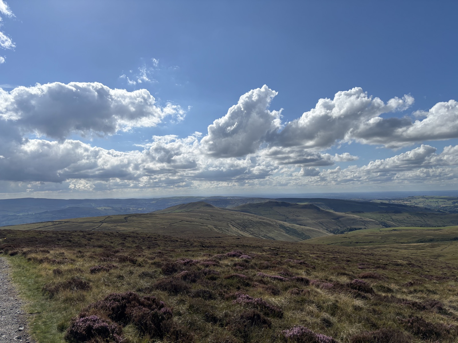
High Peak, Derbyshire · 12.7 mi · Hard
12.7 miles and 858m of ascent around High Peak, walked in 6h45. Route notes to follow.
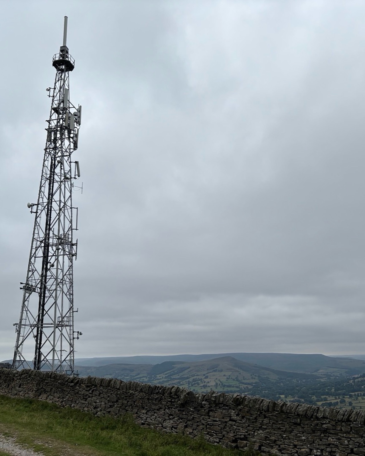
Abney, Derbyshire · 10.3 mi · Moderate
10.3 miles and 590m of ascent around Abney, walked in 4h43. Route notes to follow.
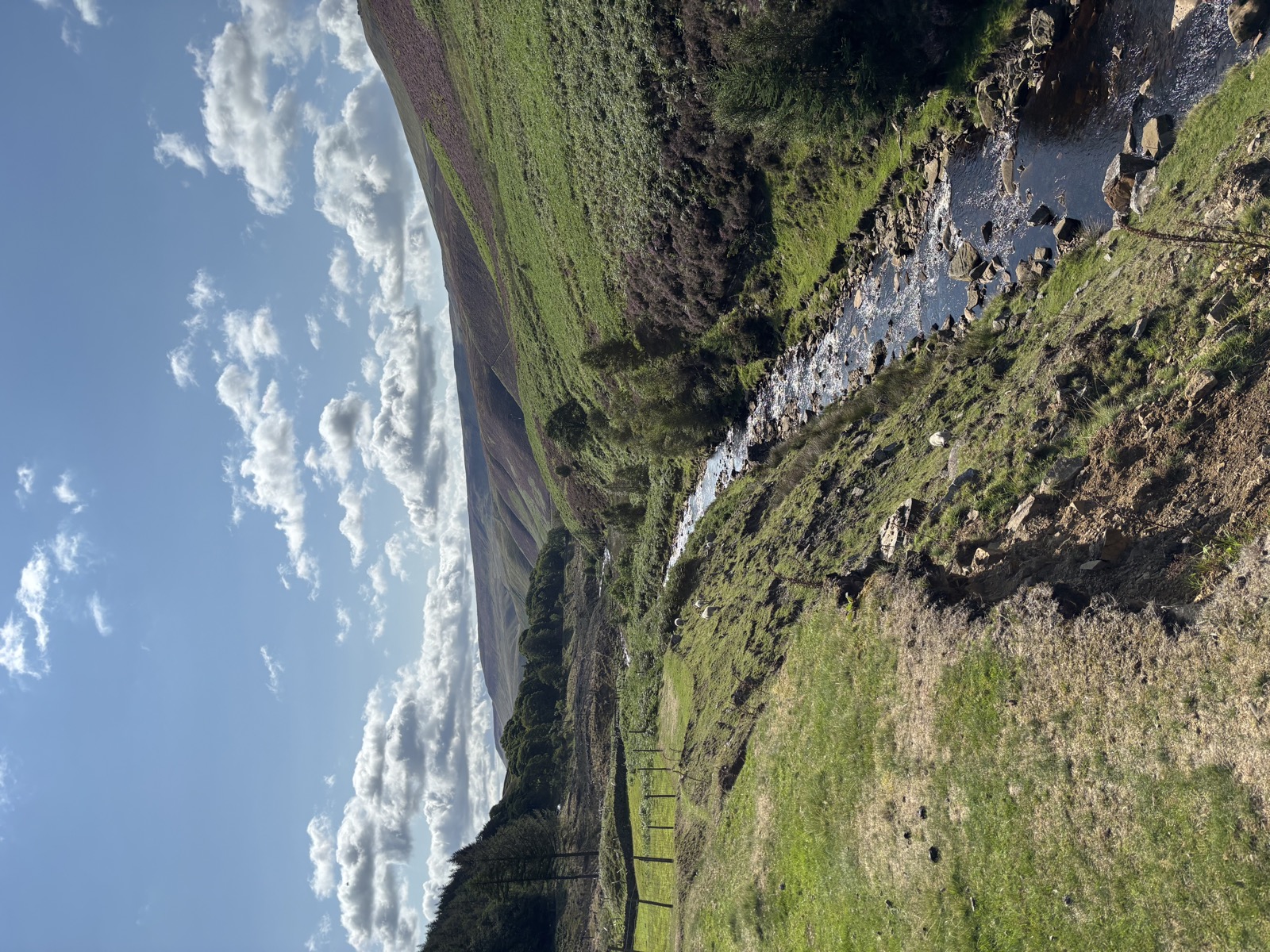
High Peak, Derbyshire · 11.4 mi · Hard
11.4 miles and 859m of ascent around High Peak, walked in 5h32. Route notes to follow.
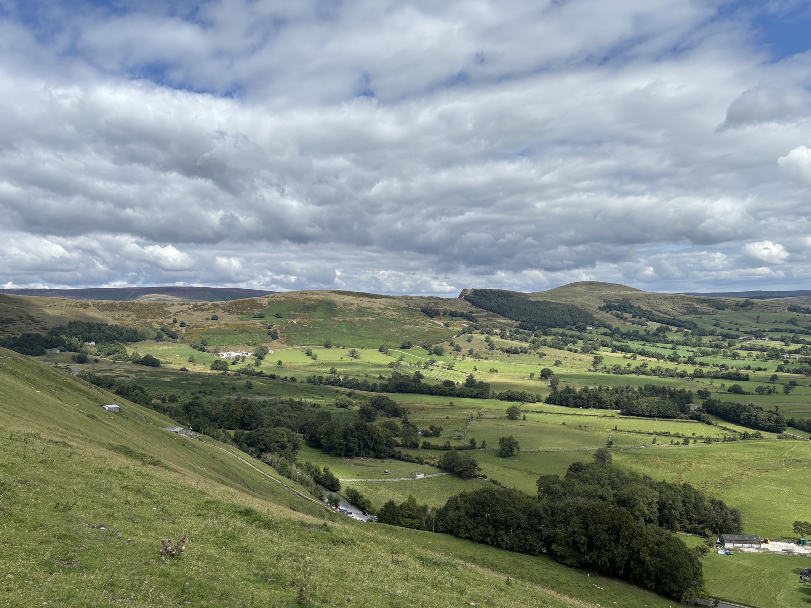
Edale, Derbyshire · 10.1 mi · Hard
10.1 miles and 880m of ascent around Edale, walked in 5h37. Route notes to follow.
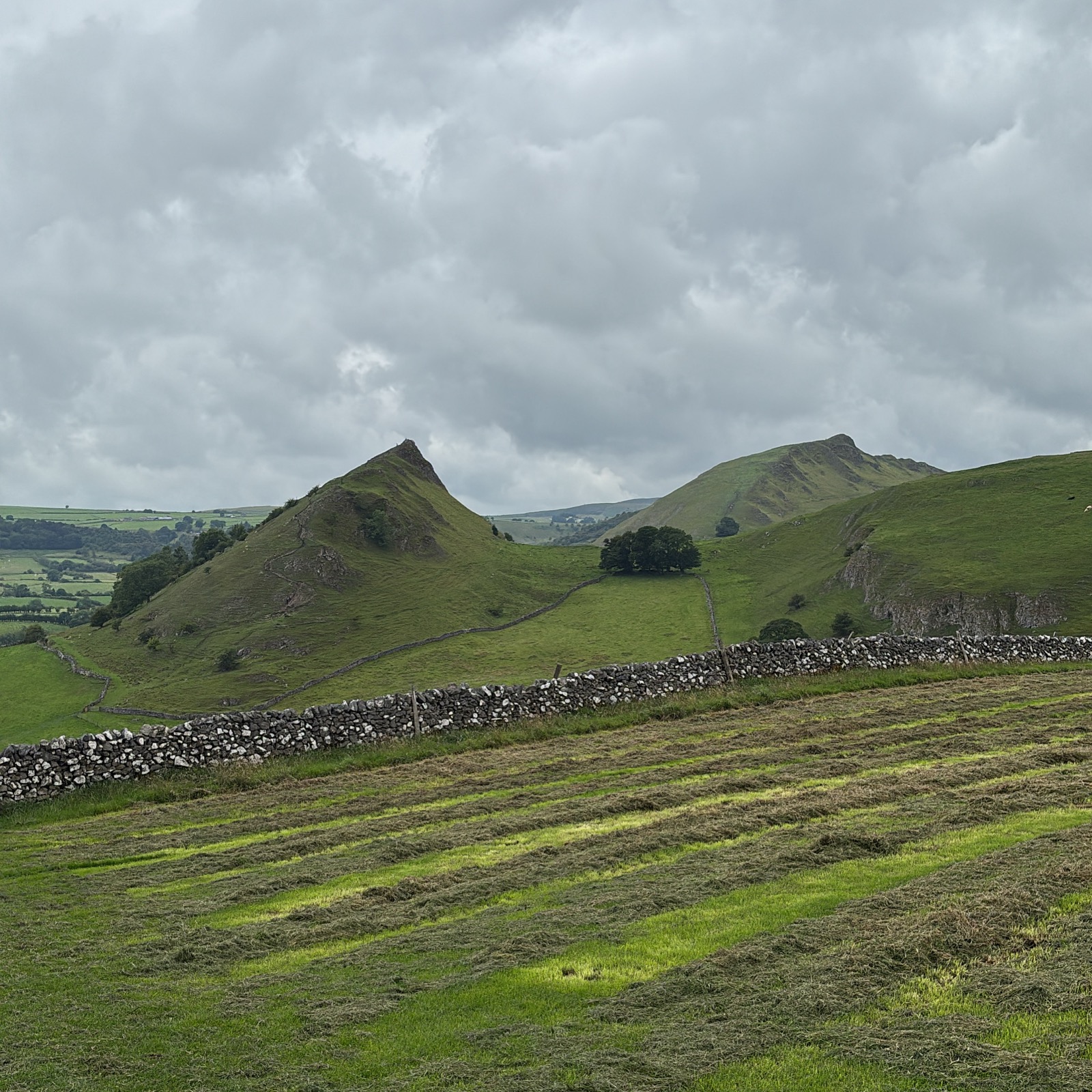
Earl Sterndale, Derbyshire · 10.7 mi · Hard
10.7 miles and 896m of ascent around Earl Sterndale, walked in 6h31. Route notes to follow.
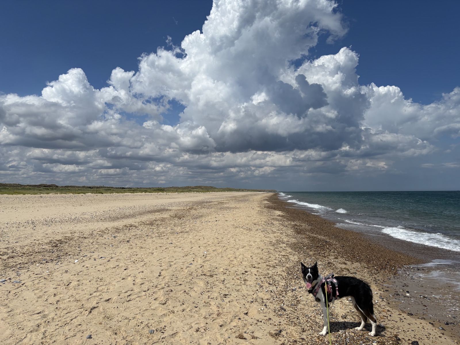
Winterton-on-Sea, Norfolk · 7.9 mi · Easy
7.9 miles and 41m of ascent around Winterton-on-Sea, walked in 3h07. Route notes to follow.
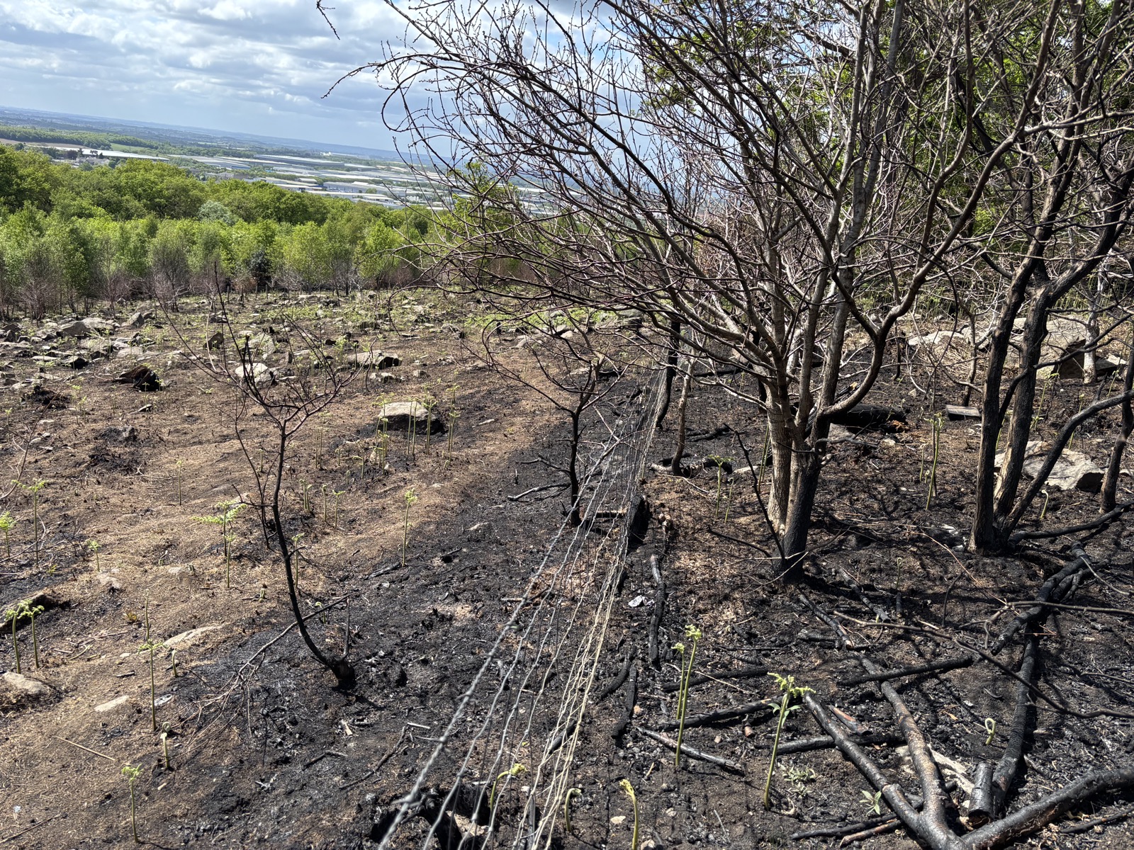
Coalville, Leicestershire · 11.1 mi · Moderate
11.1 miles and 580m of ascent around Coalville, walked in 3h51. Route notes to follow.
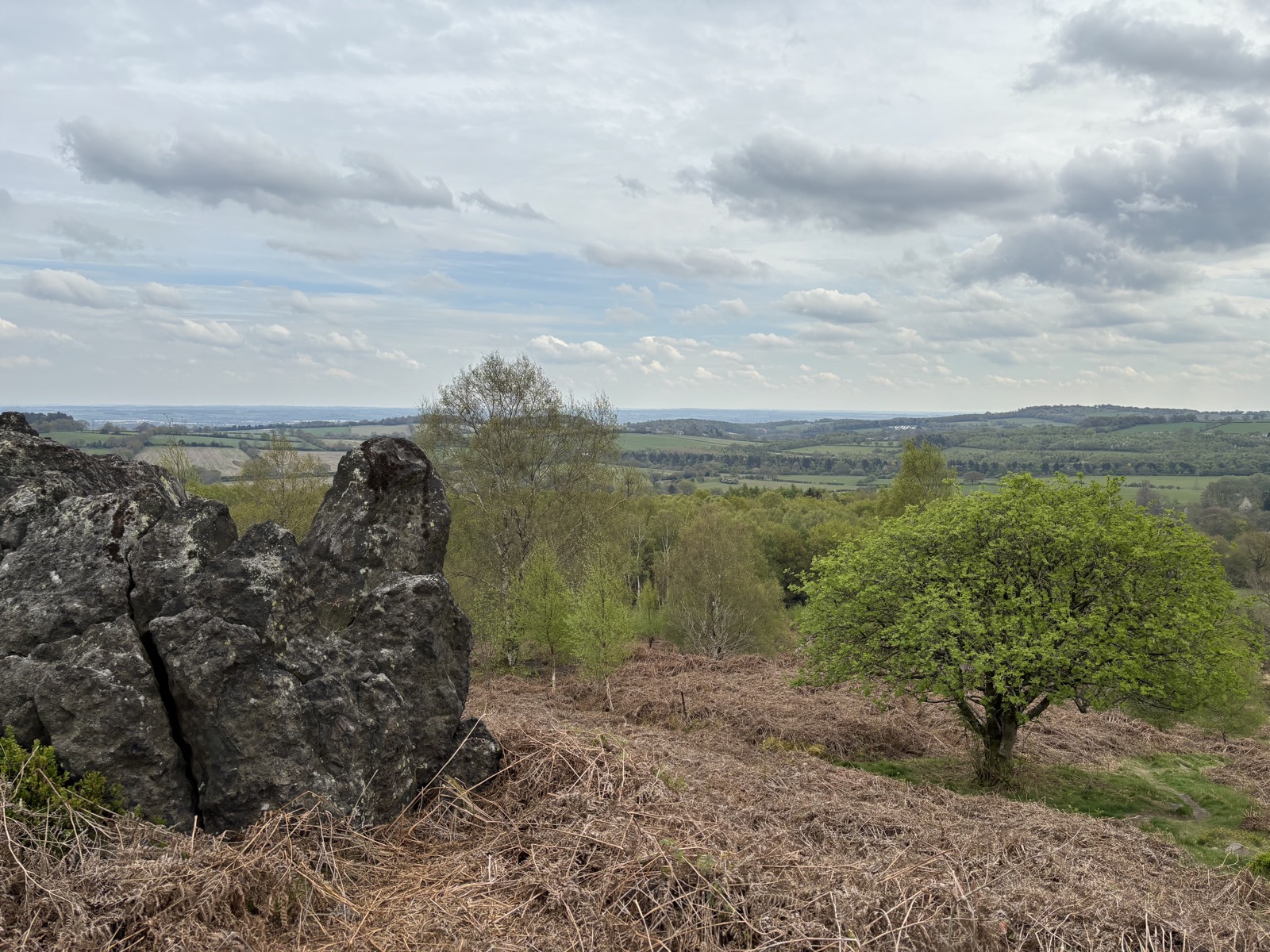
Coalville, Leicestershire · 10.1 mi · Moderate
10.1 miles and 307m of ascent around Coalville, walked in 3h53. Route notes to follow.
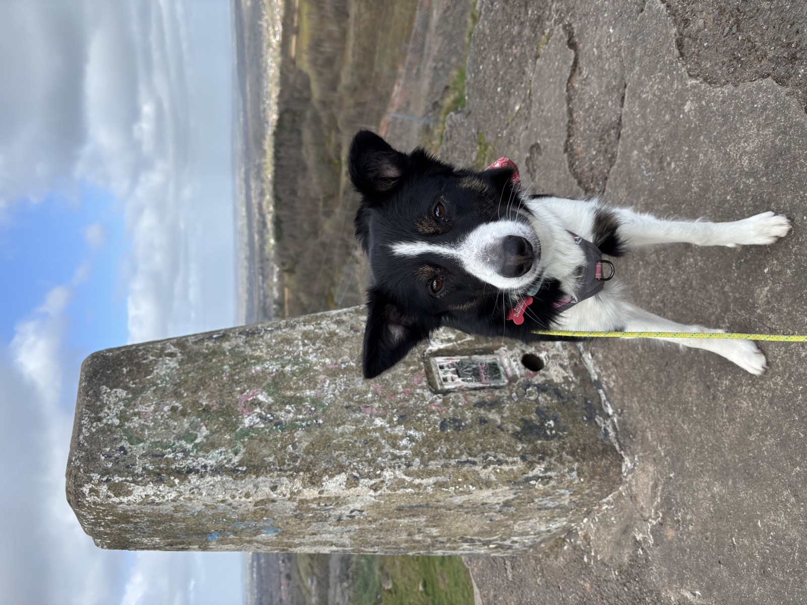
Coalville, Leicestershire · 5.9 mi · Easy
5.9 miles and 314m of ascent around Coalville, walked in 1h57. Route notes to follow.
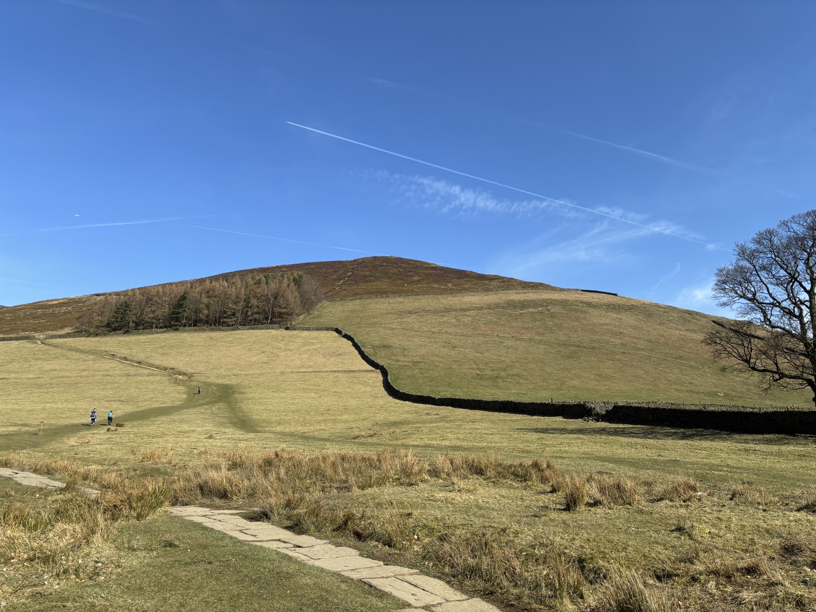
Upper Booth, Derbyshire · 11.9 mi · Hard
11.9 miles and 947m of ascent around Upper Booth, walked in 6h20. Route notes to follow.
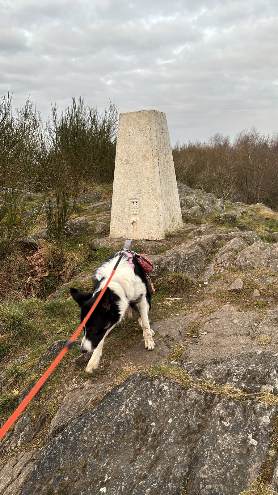
Coalville, Leicestershire · 6 mi · Easy
6 miles and 0m of ascent around Coalville, walked in 1h39. Route notes to follow.
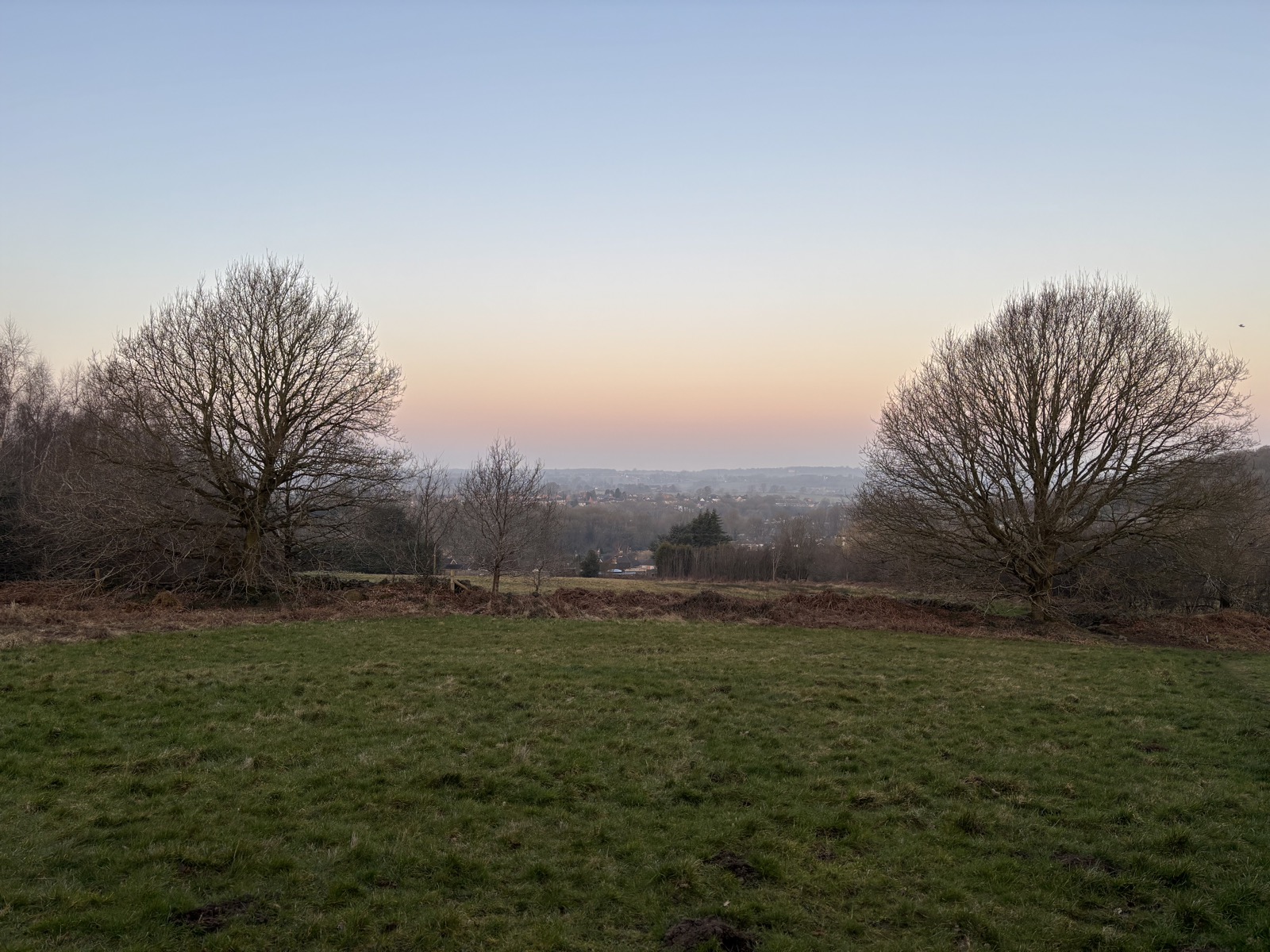
Coalville, Leicestershire · 4 mi · Easy
4 miles and 114m of ascent around Coalville, walked in 1h21. Route notes to follow.
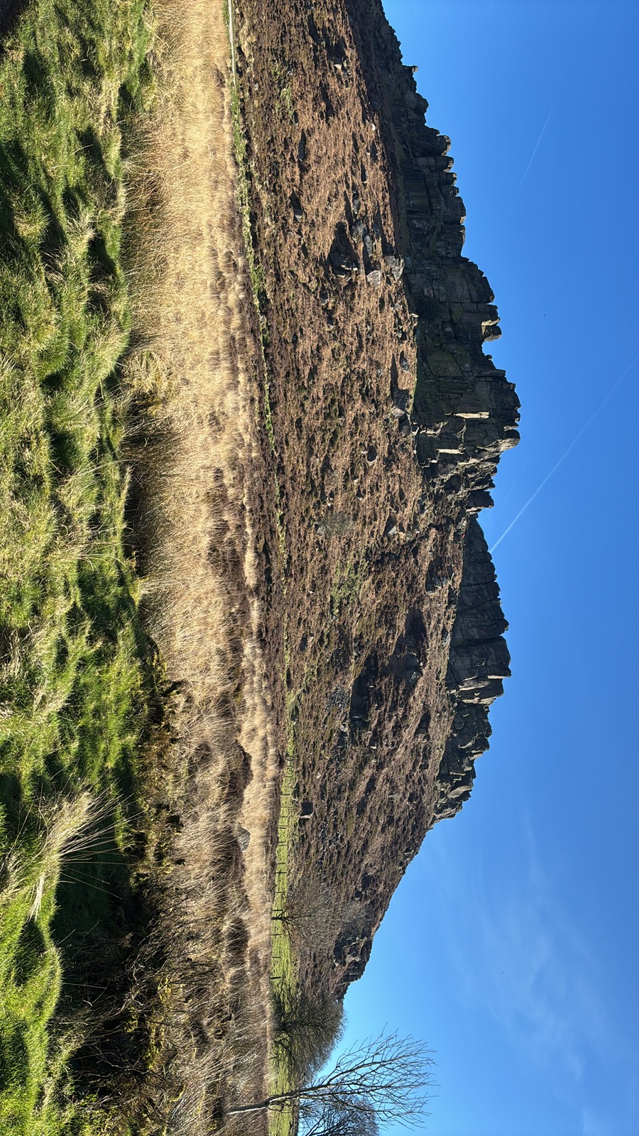
Staffordshire Moorlands, Staffordshire · 12.5 mi · Hard
12.5 miles and 913m of ascent around Staffordshire Moorlands, walked in 6h35. Route notes to follow.
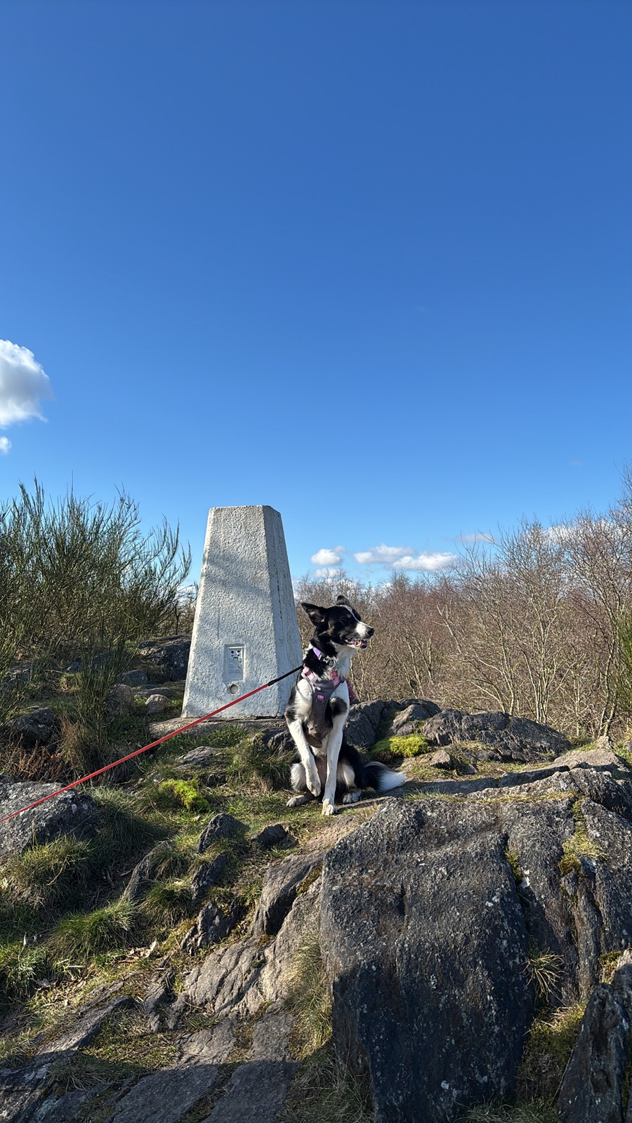
Thringstone, Leicestershire · 2.4 mi · Easy
2.4 miles and 82m of ascent around Thringstone, walked in 1h00. Route notes to follow.
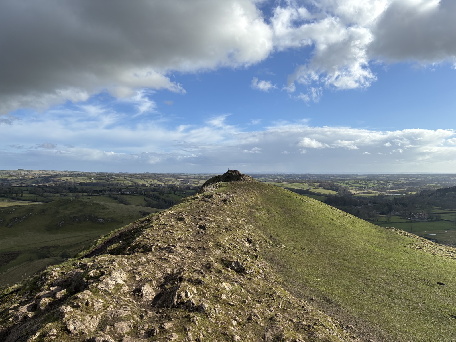
Ilam, Staffordshire · 7.6 mi · Moderate
7.6 miles and 638m of ascent around Ilam, walked in 3h49. Route notes to follow.
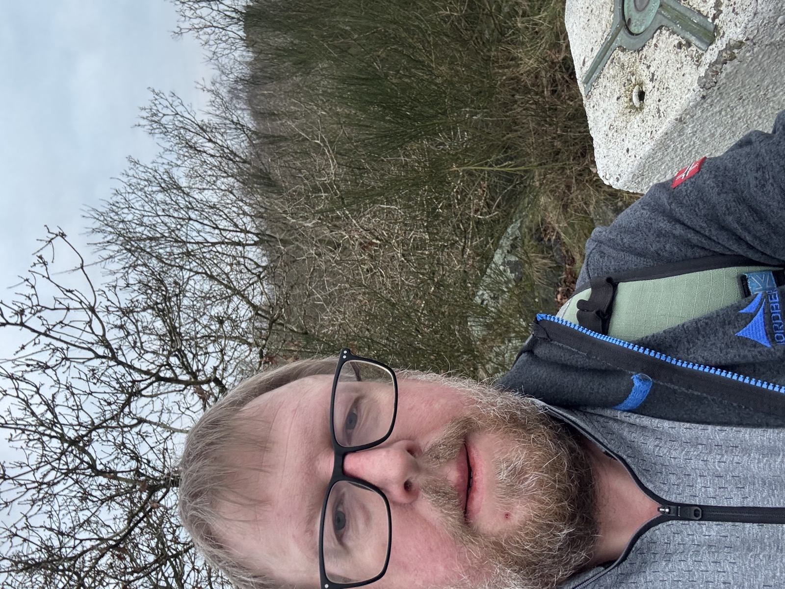
Thringstone, Leicestershire · 4.6 mi · Easy
4.6 miles and 226m of ascent around Thringstone, walked in 1h34. Route notes to follow.
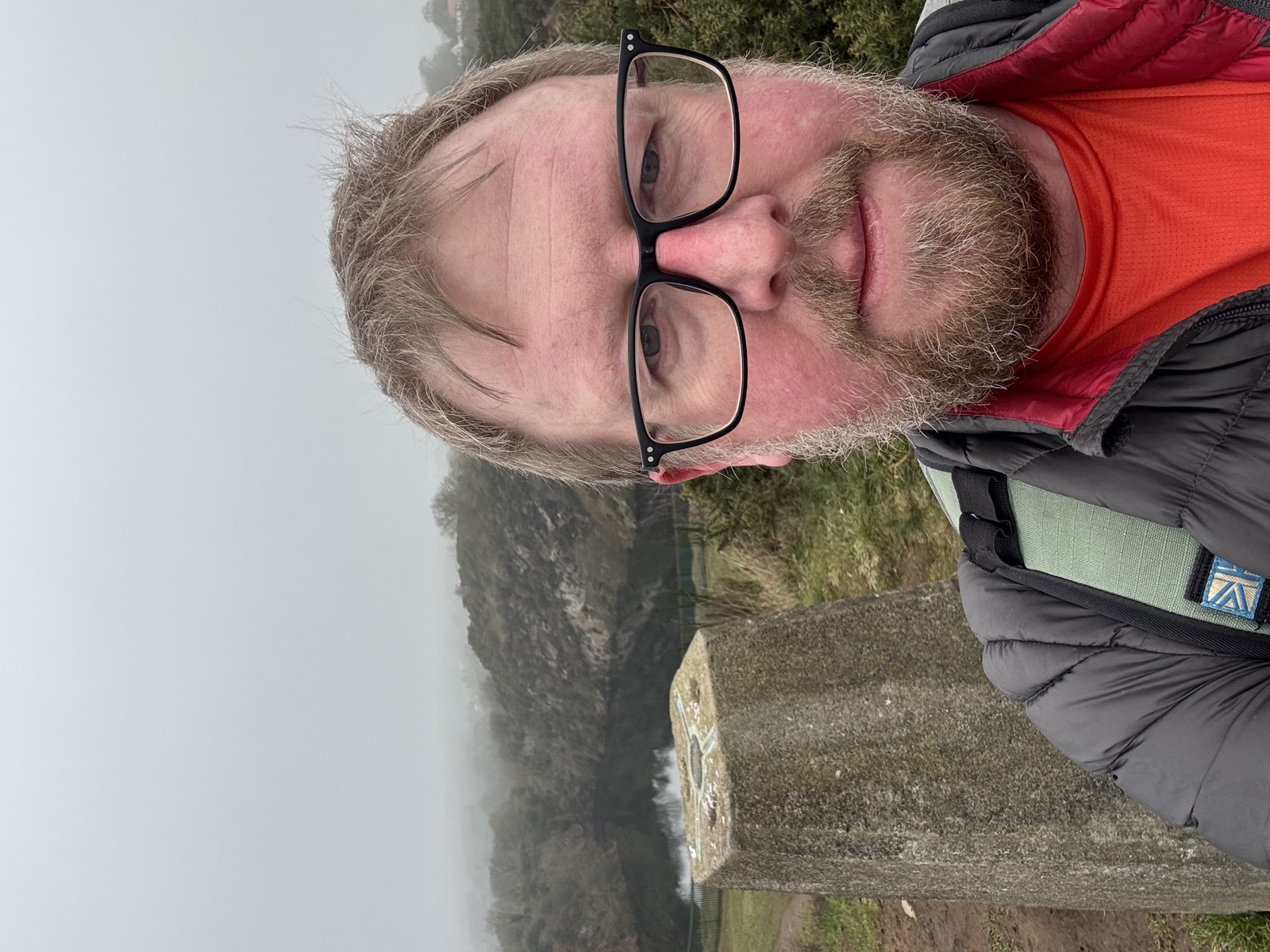
Stanton under Bardon, Leicestershire · 7.2 mi · Moderate
7.2 miles and 309m of ascent around Stanton under Bardon, walked in 2h49. Route notes to follow.

Coalville, Leicestershire · 6 mi · Easy
6 miles and 328m of ascent around Coalville, walked in 2h07. Route notes to follow.
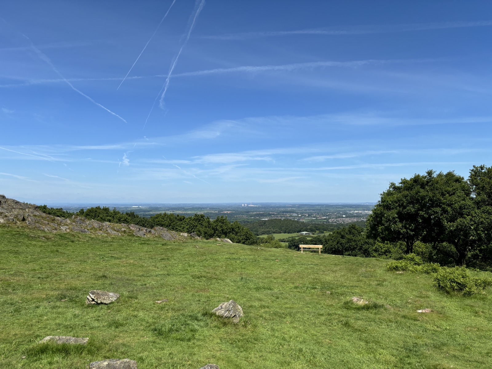
Nanpantan, Leicestershire · 9.8 mi · Moderate
9.8 miles and 329m of ascent around Nanpantan, walked in 3h22. Route notes to follow.
53 more walks recorded but not written up. The GPX is here if you want the route.
| Date | Walk | Distance | Ascent | GPX |
|---|---|---|---|---|
| Anstey, Leicestershire | 1.5 mi | 23 m | GPX | |
| High Peak, Derbyshire | 10.2 mi | 726 m | GPX | |
| Calver Sough, Derbyshire | 8 mi | 692 m | GPX | |
| Sheffield, South Yorkshire | 10.2 mi | 711 m | GPX | |
| High Peak, Derbyshire | 5.8 mi | 457 m | GPX | |
| Cropston, Leicestershire | 1.4 mi | 17 m | GPX | |
| Baslow, Derbyshire | 11.2 mi | 482 m | GPX | |
| High Peak, Derbyshire | 11.6 mi | 957 m | GPX | |
| High Peak, Derbyshire | 9.2 mi | 559 m | GPX | |
| Woodhouse Eaves, Leicestershire | 7.9 mi | 493 m | GPX | |
| Coalville, Leicestershire | 9.6 mi | 341 m | GPX | |
| Coalville, Leicestershire | 2.8 mi | 78 m | GPX | |
| High Peak, Derbyshire | 12.7 mi | 858 m | GPX | |
| Abney, Derbyshire | 10.3 mi | 590 m | GPX | |
| High Peak, Derbyshire | 11.4 mi | 859 m | GPX | |
| Edale, Derbyshire | 10.1 mi | 880 m | GPX | |
| Earl Sterndale, Derbyshire | 10.7 mi | 896 m | GPX | |
| Winterton-on-Sea, Norfolk | 7.9 mi | 41 m | GPX | |
| Coalville, Leicestershire | 11.2 mi | 612 m | GPX | |
| Coalville, Leicestershire | 11.1 mi | 580 m | GPX | |
| Hugglescote, Leicestershire | 4.5 mi | 59 m | GPX | |
| Coalville, Leicestershire | 10.1 mi | 307 m | GPX | |
| Little Hayfield, Derbyshire | 3.5 mi | 366 m | GPX | |
| Coalville, Leicestershire | 5.9 mi | 314 m | GPX | |
| Upper Booth, Derbyshire | 11.9 mi | 947 m | GPX | |
| Coalville, Leicestershire | 6 mi | — | GPX | |
| Coalville, Leicestershire | 4 mi | 114 m | GPX | |
| Anstey, Leicestershire | 1.6 mi | — | GPX | |
| Staffordshire Moorlands, Staffordshire | 12.5 mi | 913 m | GPX | |
| Thringstone, Leicestershire | 2.4 mi | 82 m | GPX | |
| Erewash, Derbyshire | 3.4 mi | 36 m | GPX | |
| Ilam, Staffordshire | 7.6 mi | 638 m | GPX | |
| Erewash, Derbyshire | 3.5 mi | 54 m | GPX | |
| Erewash, Derbyshire | 3.4 mi | 51 m | GPX | |
| Thringstone, Leicestershire | 4.6 mi | 226 m | GPX | |
| Erewash, Derbyshire | 3.5 mi | 52 m | GPX | |
| Stanton under Bardon, Leicestershire | 7.2 mi | 309 m | GPX | |
| Coalville, Leicestershire | 2.8 mi | 96 m | GPX | |
| Morleymoor, Derbyshire | 3.2 mi | 58 m | GPX | |
| Coalville, Leicestershire | 6 mi | 328 m | GPX | |
| Coalville, Leicestershire | 3.1 mi | 114 m | GPX | |
| Coalville, Leicestershire | 3.8 mi | 74 m | GPX | |
| Newtown Linford, Leicestershire | 11.8 mi | 413 m | GPX | |
| Nanpantan, Leicestershire | 9.8 mi | 329 m | GPX | |
| Woodthorpe, Leicestershire | 2 mi | 11 m | GPX | |
| Leicester, City of Leicester | 8.7 mi | 614 m | GPX | |
| Leicester, City of Leicester | 4.4 mi | 322 m | GPX | |
| Leicester, City of Leicester | 7.5 mi | 120 m | GPX | |
| Newtown Linford, Leicestershire | 2 mi | 148 m | GPX | |
| Hugglescote, Leicestershire | 3.3 mi | 224 m | GPX | |
| Coalville, Leicestershire | 5 mi | 308 m | GPX | |
| Coalville, Leicestershire | 5.4 mi | 199 m | GPX | |
| Coalville, Leicestershire | 4.7 mi | 148 m | GPX |