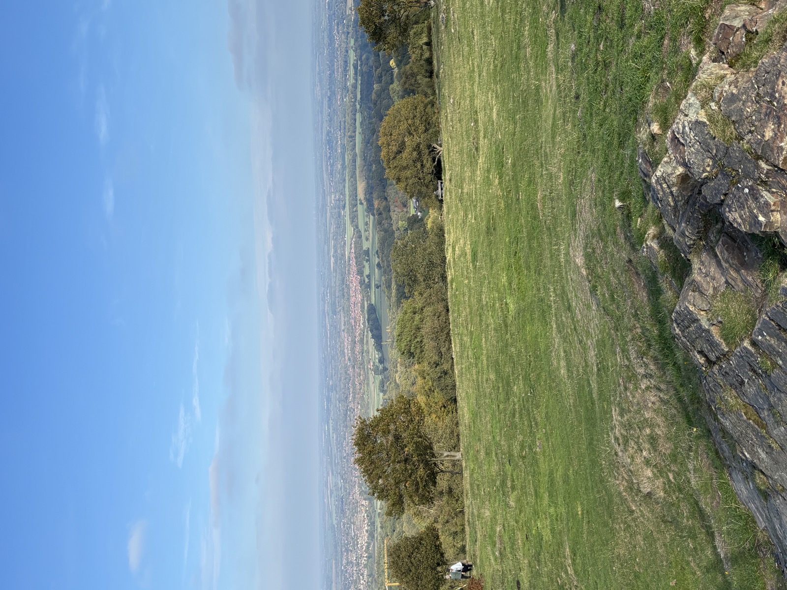
Beacon Hill and Swithland
14.6 miles and 752m of ascent around Swithland, walked in 5h45. Route notes to follow.
- Charnwood
- Leicestershire
- woodland
- reservoir
Getting there
- Grid reference
SK 5046 1528- Postcode
LE12 8TE
Dean's Lane, Woodhouse Eaves.
Route Map
Open In New Tab3D Route
Full screen ↗Map and navigation
The line on the map is the GPX from the day, so it is the route as actually walked. You will not find numbered directions telling you to bear left at the third gate.
That is on purpose. This is not about telling you where to go. It is about sharing a route that works with a dog, and getting you out to explore it yourself.
For your four legged companion
What this route is like with a dog, at a glance.
- Some waterStreams or pools to drink from
- Easy underfootGood paths and tracks
Route notes
The day
October 2025. 14.6 miles round with 752m of climbing, 5h45 on the move.
Cloud and sun taking turns, 10 to 15°C, dry underfoot at least.
Walking with
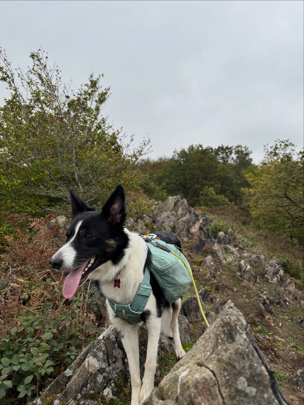
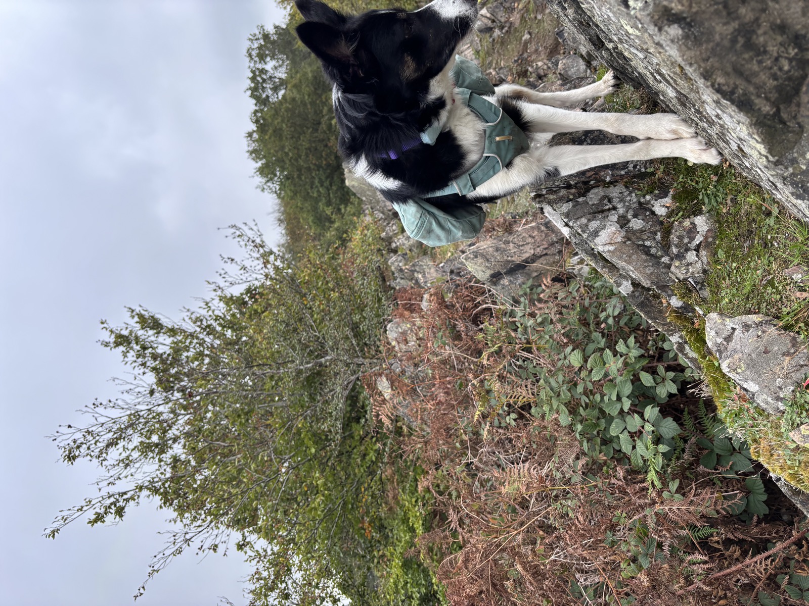
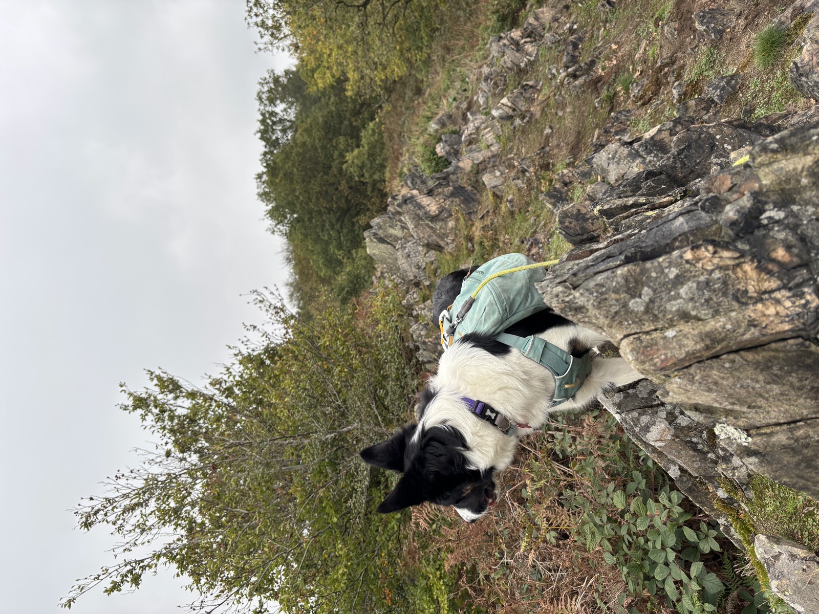
Just me and Ember.
The route
A long Charnwood circuit out of Woodhouse Eaves, over Beacon Hill and down through Swithland and Newtown Linford before the return.
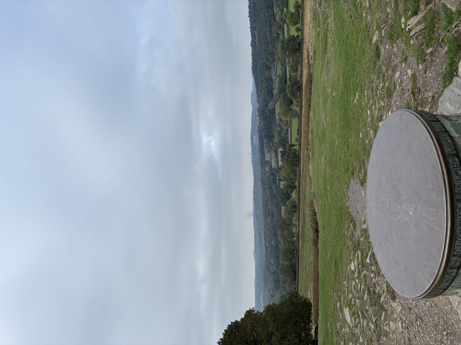
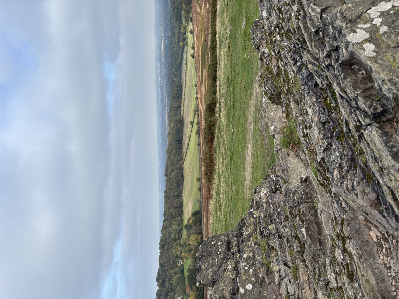
Beacon Hill is the high point at 250m, which does not sound like much until you see the 752m of climbing the day adds up to. It is the second highest point in Leicestershire and carries a Bronze Age hill fort on the top. The low point is 71m on Brand Lane, so there is nearly 180m of relief being crossed repeatedly.
That is the character of Charnwood: no single hill of any size, but the ground never stops going up and down. The climb profile bears it out, 125m, 81m, 215m, 104m, 209m across the fifths. Nothing steep, nothing flat.
Bradgate Park and Swithland Wood are both on this line, which makes it a far better day than the map suggests.
For your four legged companion
Not Access land, so the moorland lead rules do not apply, but Bradgate has a deer herd and its own rules: dogs on leads, and worth taking seriously.
Field paths with stock in places. Swithland Reservoir and the brooks give water on the lower sections.
Good ground throughout. Tracks, woodland paths and field edges rather than anything rough. This is the one on the list a less confident dog would enjoy most.
Parking and practicalities
Dean’s Lane in Woodhouse Eaves. The village has pubs and a shop.
Bradgate Park has car parks, toilets and a tea room at Newtown Linford if you want to break the day.
Recorded 2025-10-11. 14.6 miles, 752m of ascent, 5h45 moving.
Beacon Hill and Bradgate details from National Forest.
Photos from this walk
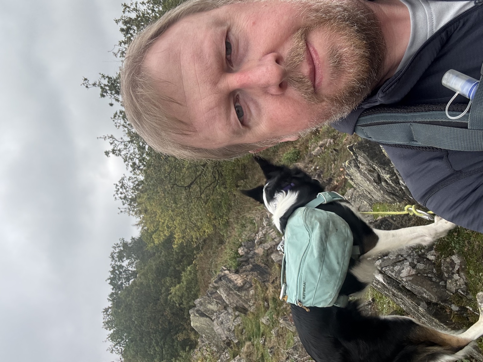
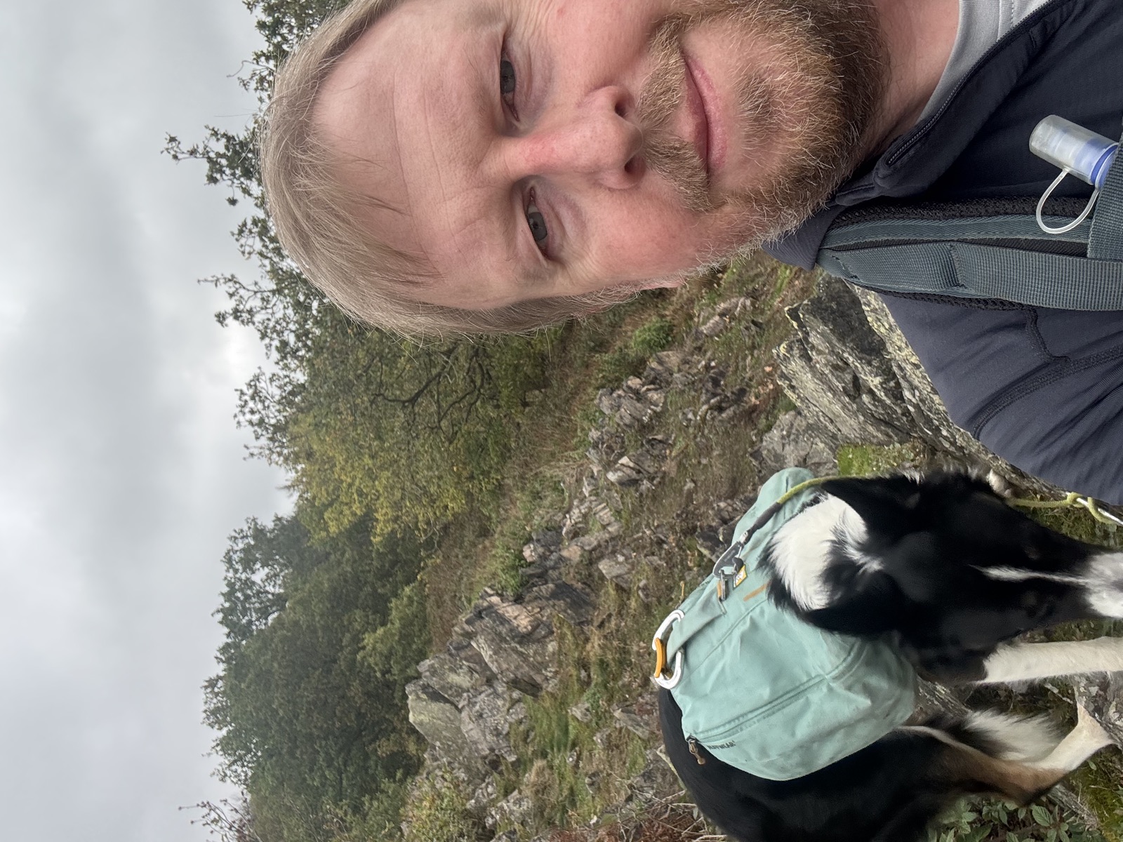
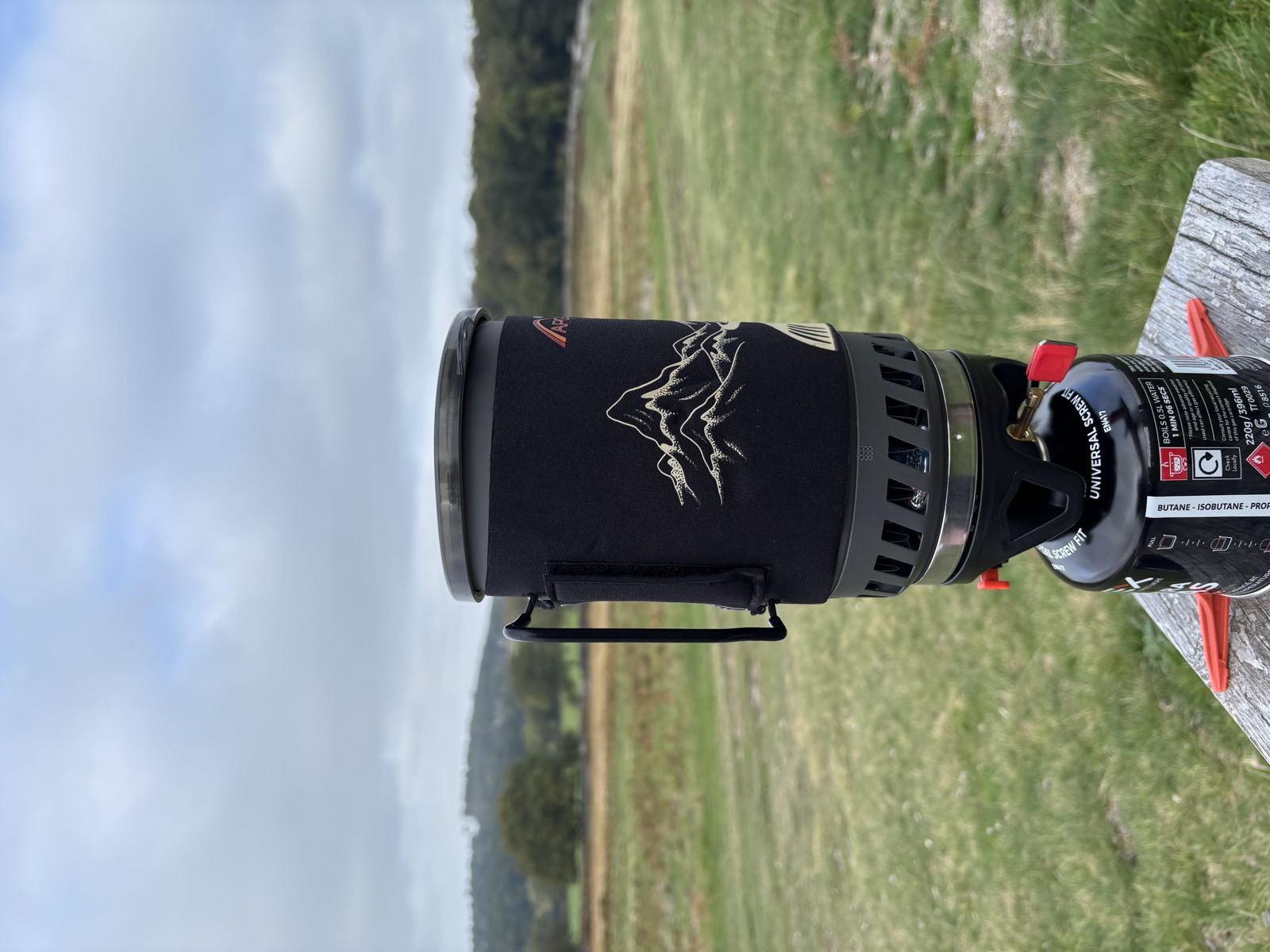
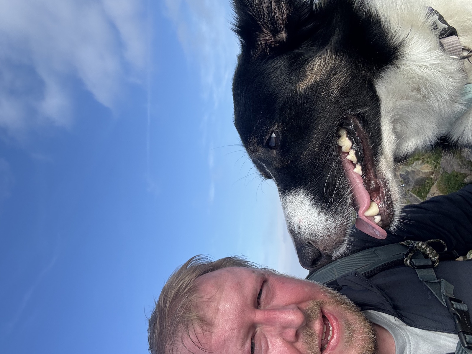
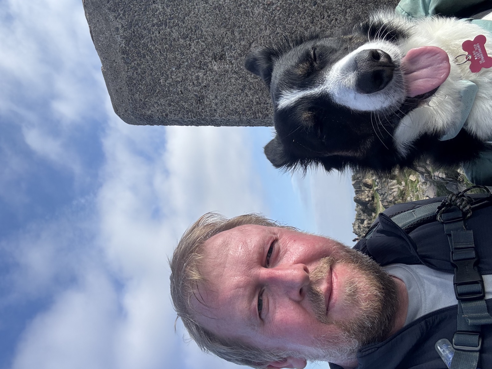
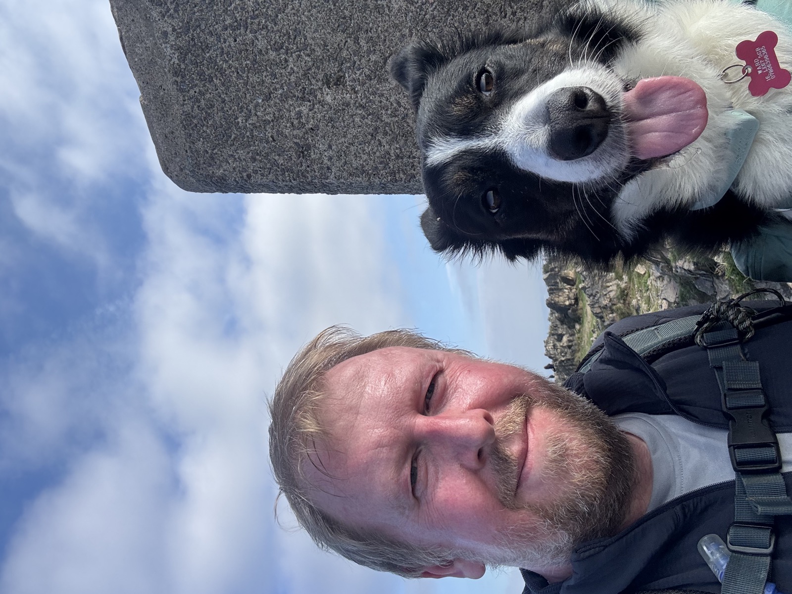
12 photographs, in the order we came to them.
Downloads and Links
Mountain weather: MWIS forecast
General weather: Met Office
Nearby walks
Other routes starting within a few miles of this one.