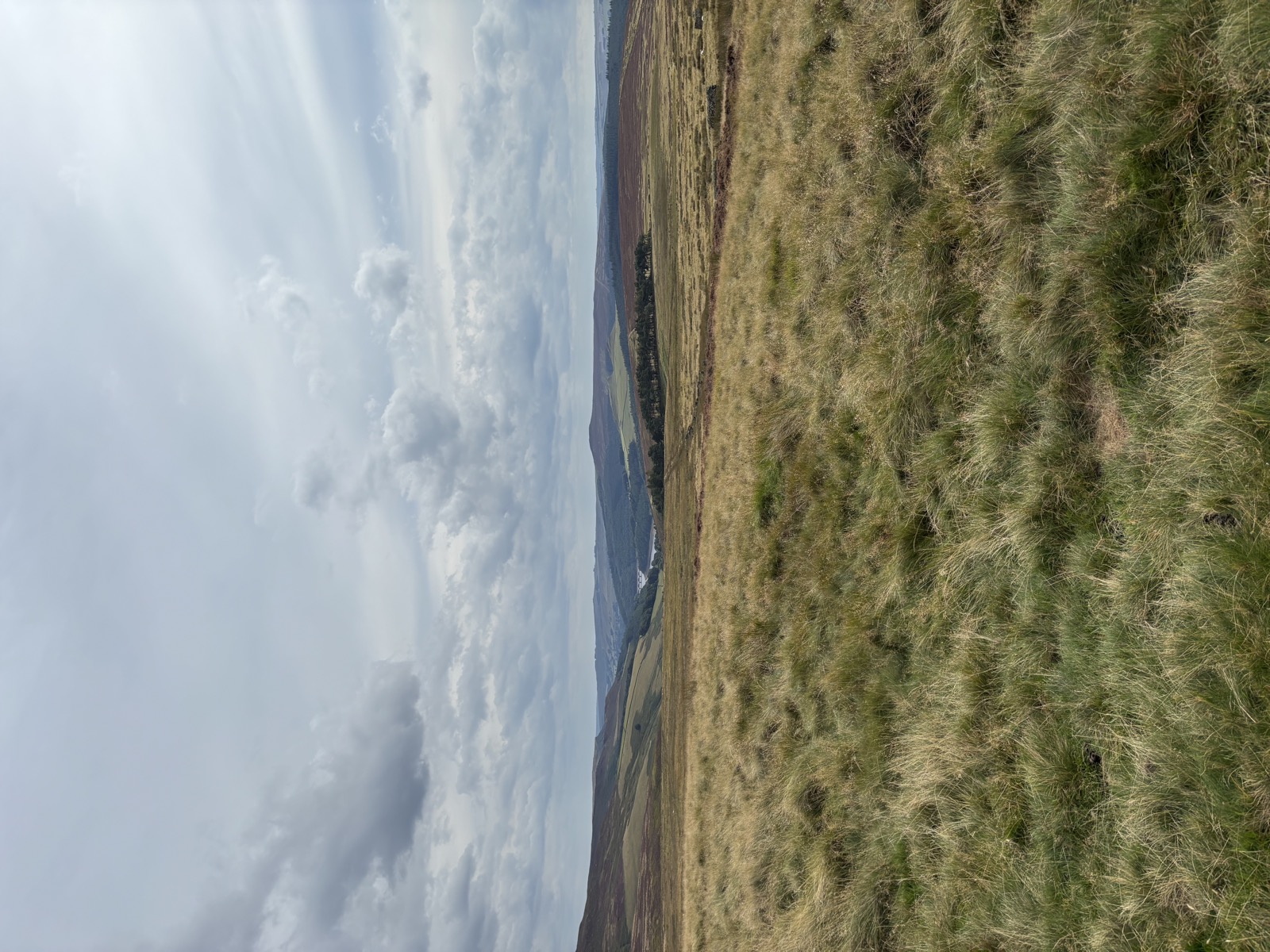
High Stones and the Howden Moors
14.7 miles and 898m of ascent around Sheffield, walked in 6h19. Route notes to follow.
- Peak District
- Derwent
- Howden Moors
- moorland
- long day
Getting there
- Grid reference
SK 1732 8896- Postcode
S33 0AQ
Fairholmes, below Derwent dam. Pay and display.
Route Map
Open In New Tab3D Route
Full screen ↗Map and navigation
The line on the map is the GPX from the day, so it is the route as actually walked. You will not find numbered directions telling you to bear left at the third gate.
That is on purpose. This is not about telling you where to go. It is about sharing a route that works with a dog, and getting you out to explore it yourself.
For your four legged companion
What this route is like with a dog, at a glance.
- Some waterStreams or pools to drink from
- Open Access landOn Access land dogs must be on a lead no longer than 2m from 1 March to 31 July, for ground-nesting birds
- Rough underfootUneven, rocky or boggy going
Route notes
The day
September 2025. 14.7 miles round with 898m of climbing, 6h19 on the move.
Grey the whole way, cloud never really breaking, 12 to 16°C, wind gusting to 19mph, dry underfoot at least.
Walking with
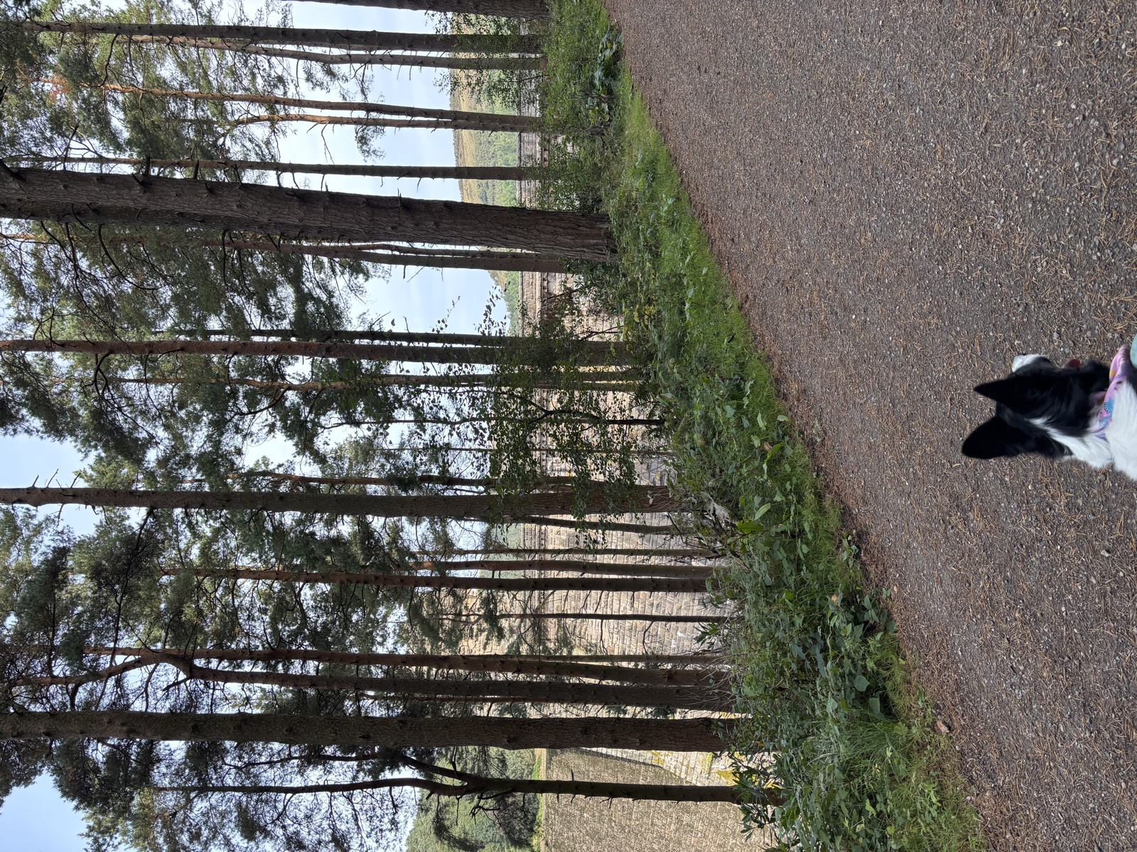
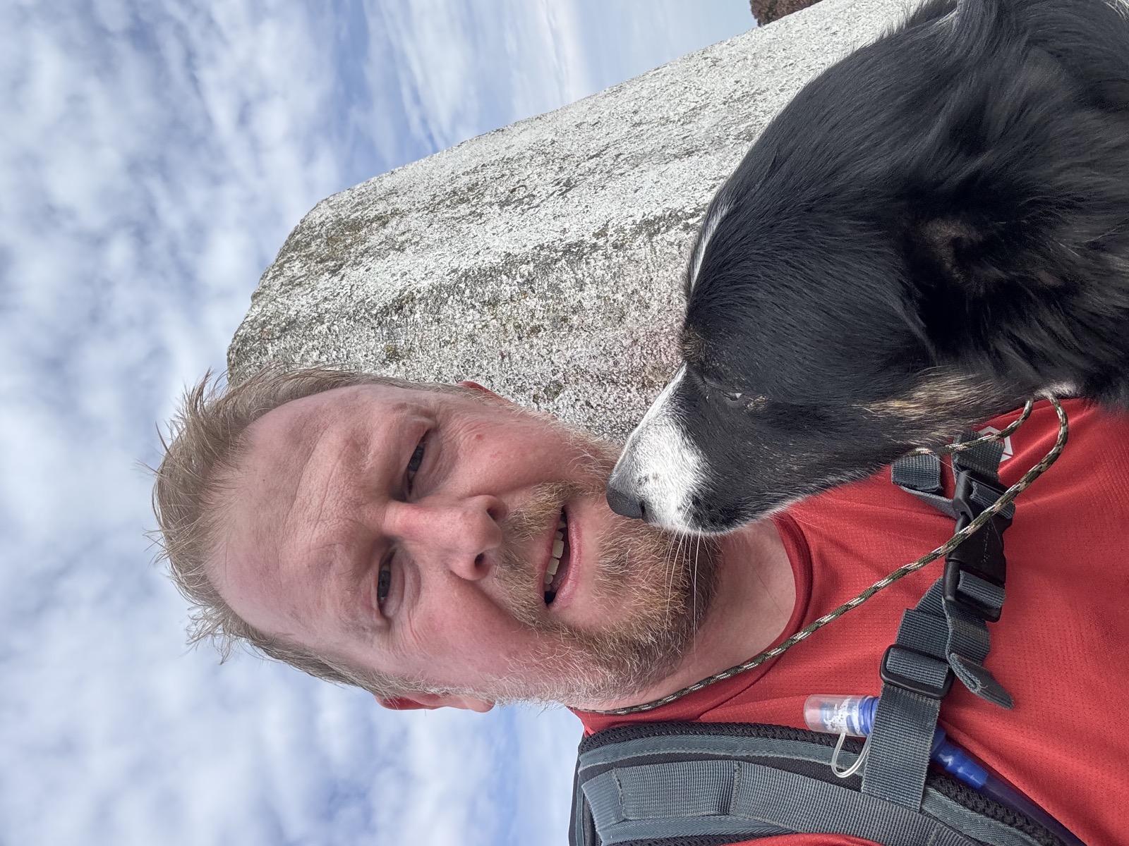
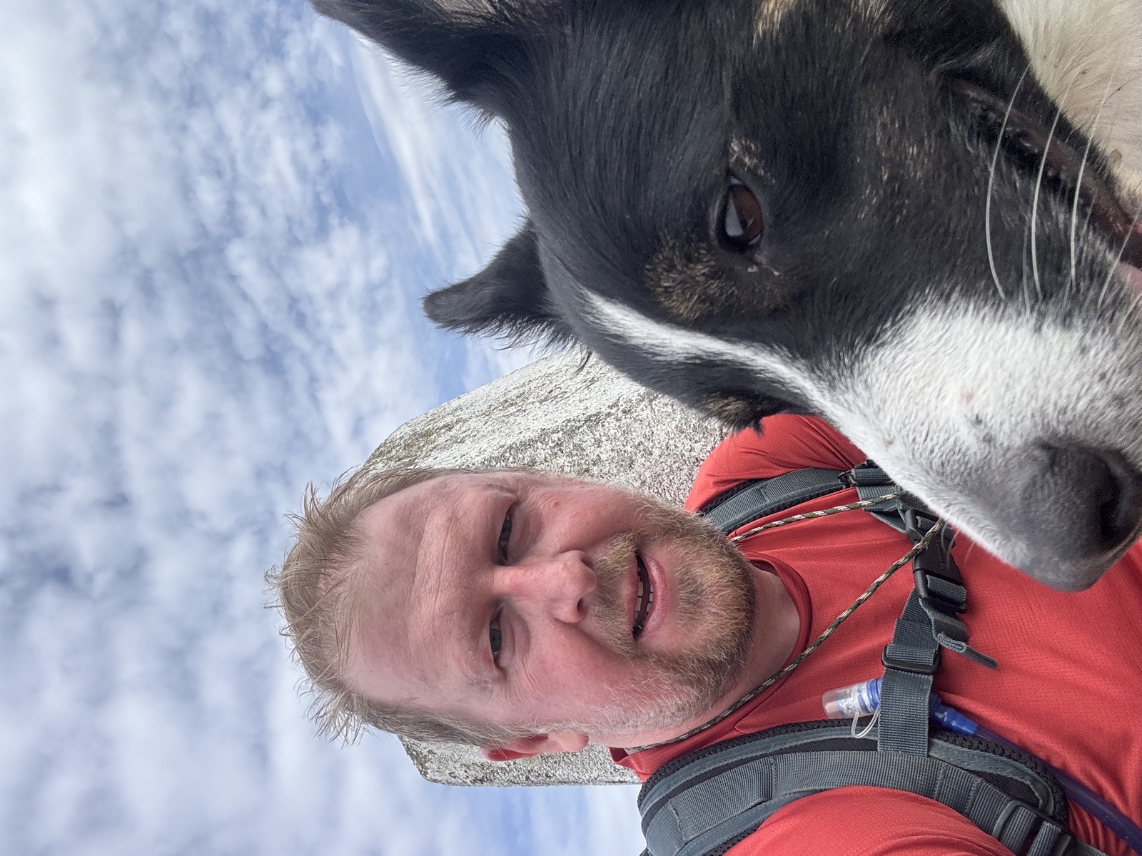
Just me and Ember.
The route
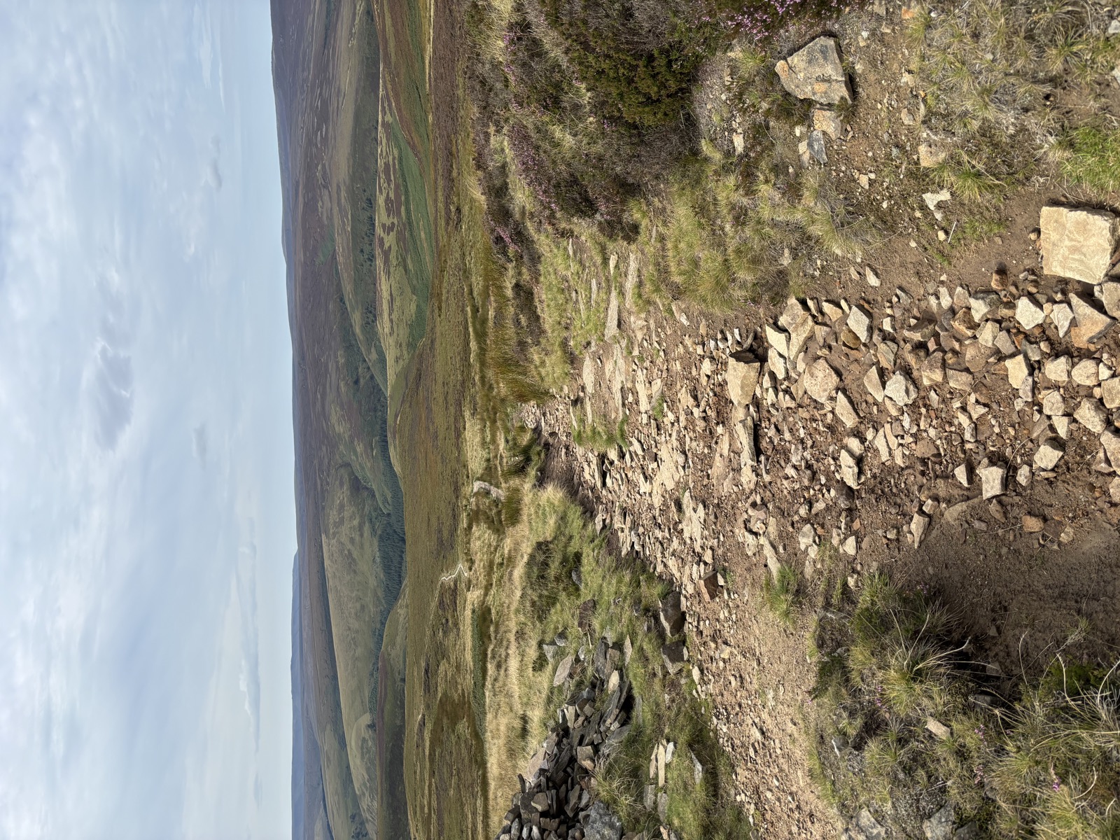
From the Derwent valley up onto the Howden Moors and across to the high ground above Bradfield. The top of the day is 550m at SK 188 943, which puts it on High Stones: at 548m that is the highest point in South Yorkshire and in the City of Sheffield, a mile south of the better known Margery Hill.
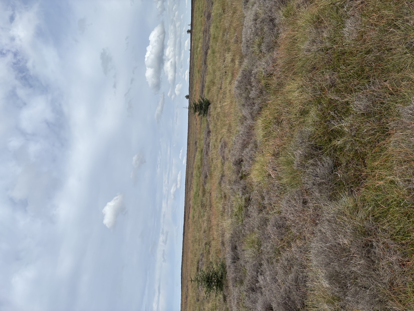
It is proper Dark Peak up there. Peat, groughs and very little to aim at in poor visibility.
Back down to the Derwent reservoir, the low point at 206m, and round the water to the start.
898m of climbing, with the heaviest stretch in the second fifth at 306m. That is the pull off the valley floor onto the moor, and once you are up there the rest is undulating rather than steep.
This is the walk Nick called “2 trigs, 4 Ethel’s and 14 miles!” on Strava.
For your four legged companion
Access land throughout, so leads from 1 March to 31 July regardless of stock, and around sheep at any time of year.
The reservoir shore has water the whole way but the moor section does not. That is several hours between drinks if you go anti-clockwise.
Groughs and peat hags on the tops. Heavy going for a small dog and filthy for any of them.
Parking and practicalities
Fairholmes sits at the base of the Derwent dam wall and is the biggest car park in the valley. Visitor centre, toilets, and a cafe.
The 257 bus runs from Sheffield along the Snake Road and terminates there, so this is one of the few Dark Peak walks you can reach without a car.
Recorded 2025-09-06. 14.7 miles, 898m of ascent, 6h19 moving.
High Stones and Margery Hill heights from Wikipedia.
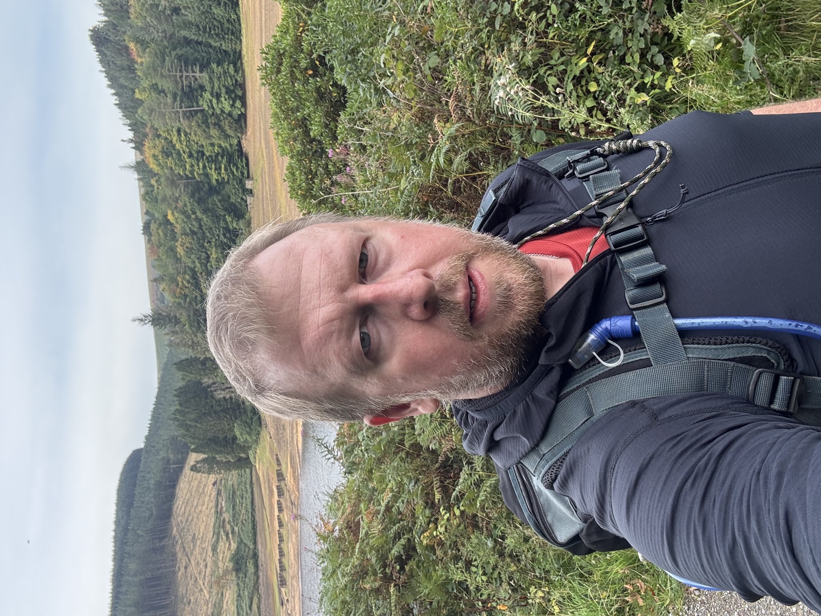
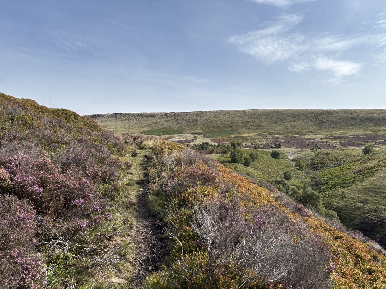
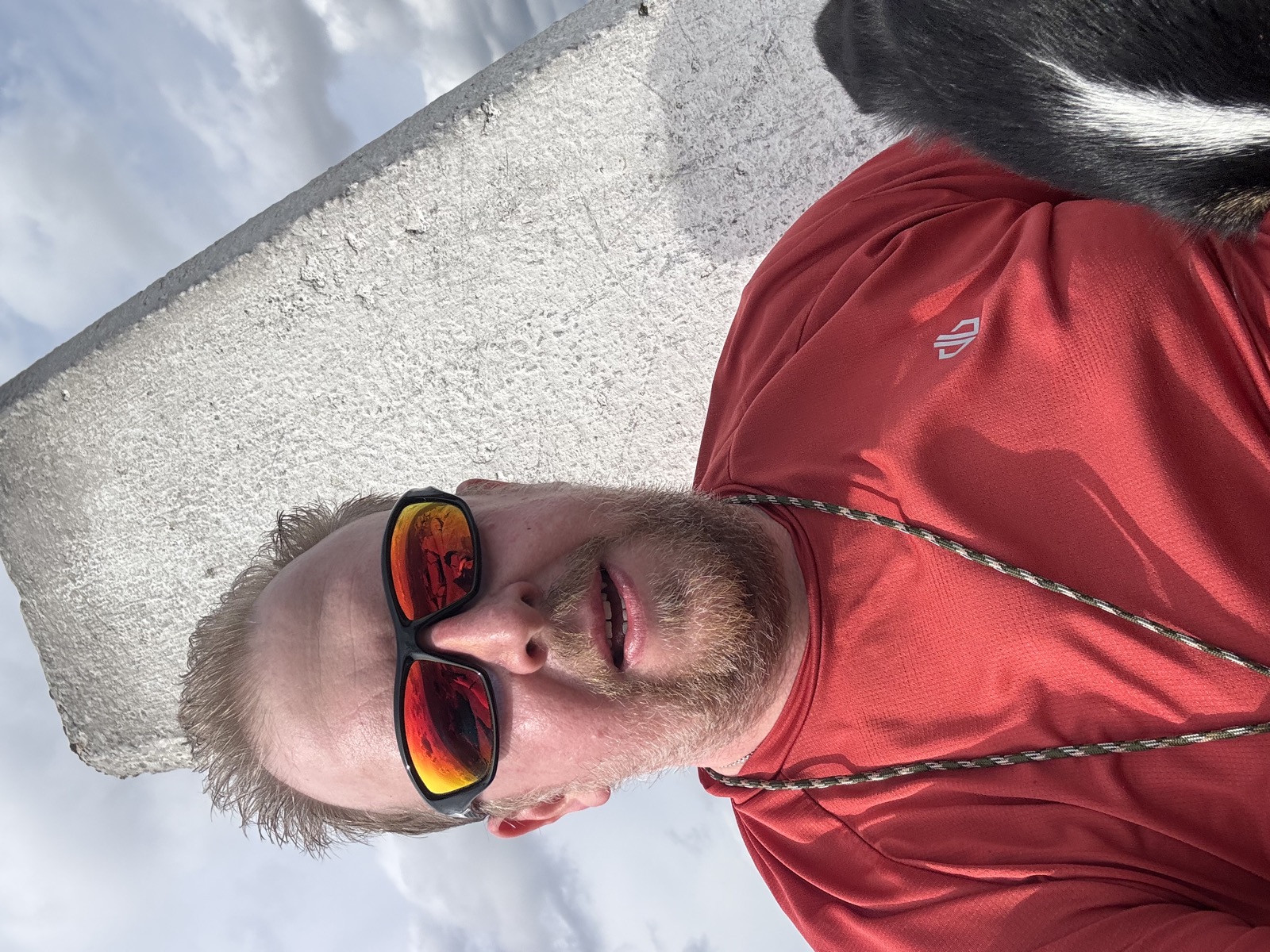
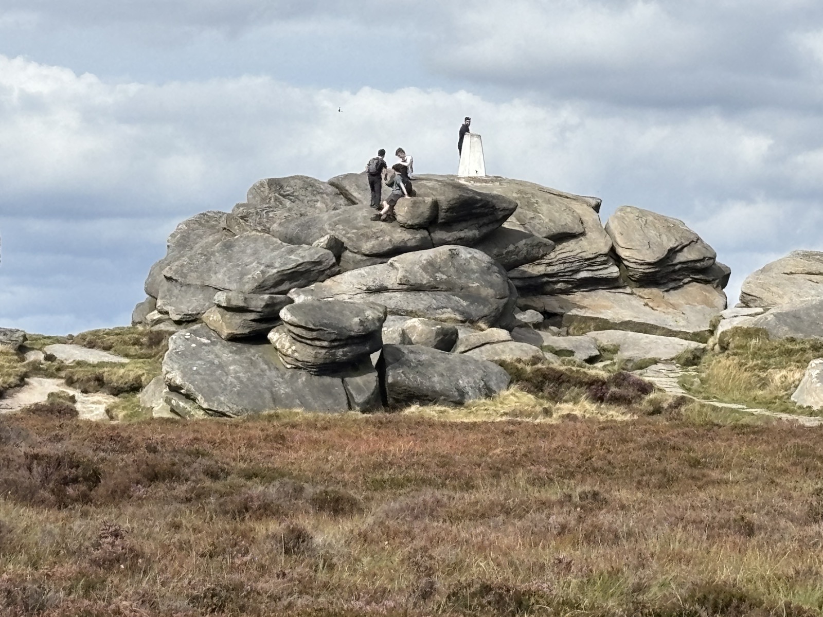
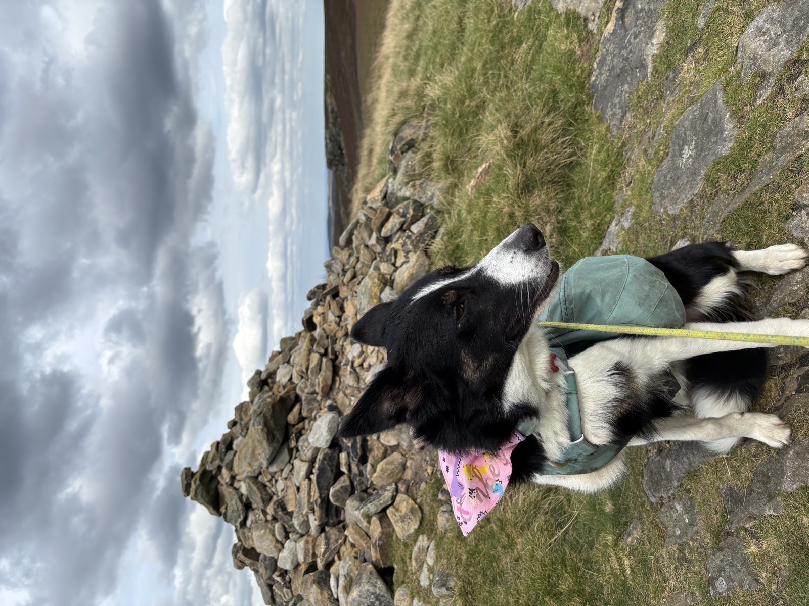
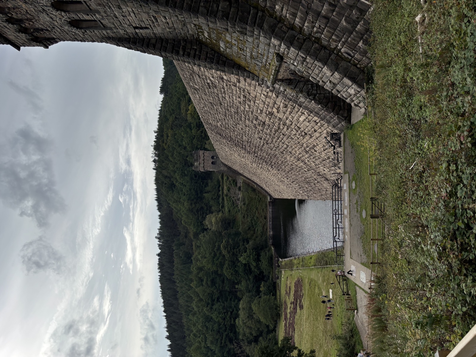
Photos from this walk
12 photographs, in the order we came to them.
Downloads and Links
Mountain weather: MWIS forecast
General weather: Met Office
Nearby walks
Other routes starting within a few miles of this one.
- Alport Castles from the Derwent14.9 mi · 1011m · Hard4.0km away
- High Peak, 9.2 miles9.2 mi · 559m · Moderate6.9km awayGPX
- High Peak, 11.6 miles11.6 mi · 957m · Hard7.9km awayGPX
- Stanage Edge and Wyming Brook16.2 mi · 811m · Hard9.6km away