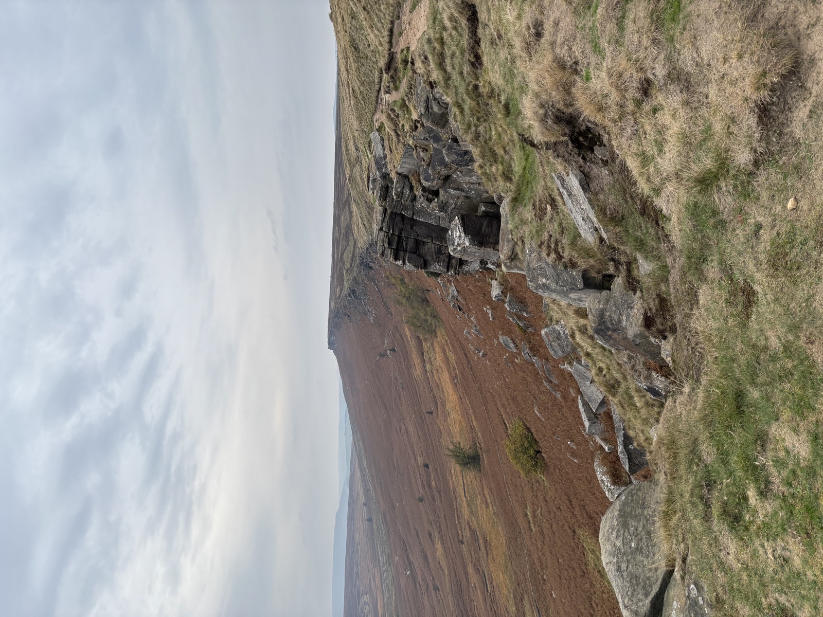
Stanage Edge and Wyming Brook
A long circuit from North Lees over Stanage to High Neb, north to Hollow Meadows, then down Wyming Brook and back across the moor. 16.2 miles and the climbing never really stops.
- Peak District
- Stanage
- gritstone
- moorland
- long day
Getting there
- Grid reference
SK 2275 8434
North Lees car park below the edge. Pay and display.
Route Map
Open In New Tab3D Route
Full screen ↗Map and navigation
The line on the map is the GPX from the day, so it is the route as actually walked. You will not find numbered directions telling you to bear left at the third gate.
That is on purpose. This is not about telling you where to go. It is about sharing a route that works with a dog, and getting you out to explore it yourself.
For your four legged companion
What this route is like with a dog, at a glance.
- Some waterStreams or pools to drink from
- Open Access landOn Access land dogs must be on a lead no longer than 2m from 1 March to 31 July, for ground-nesting birds
- Rough underfootUneven, rocky or boggy going
Route notes
The day
October 2025. 16.2 miles round with 811m of climbing, 6h53 on the move.
Grey the whole way, cloud never really breaking, 9 to 11°C, dry underfoot at least.
Walking with
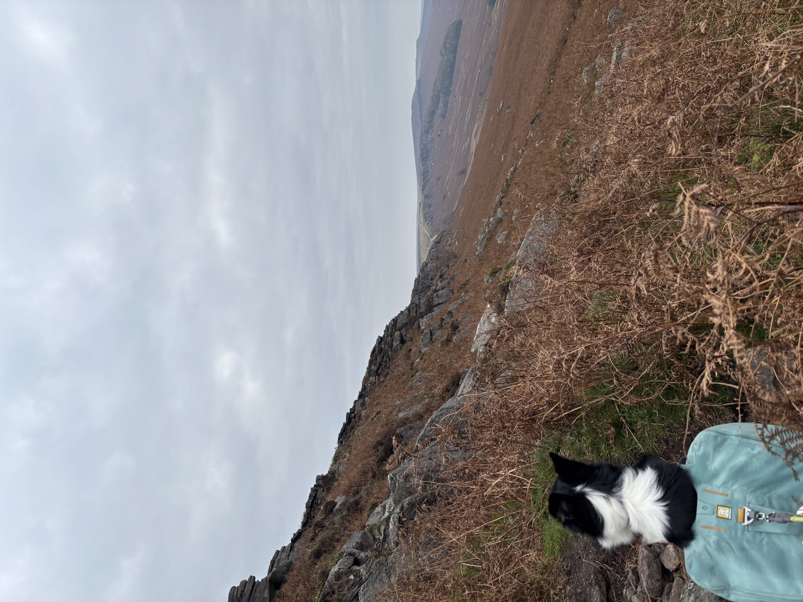
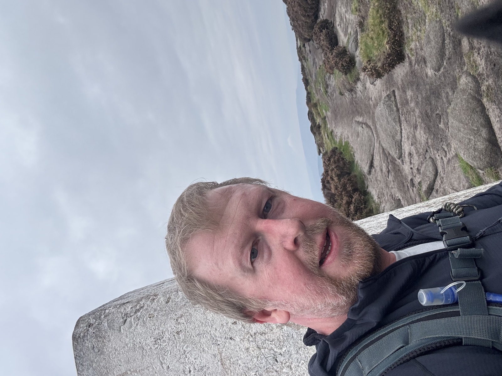
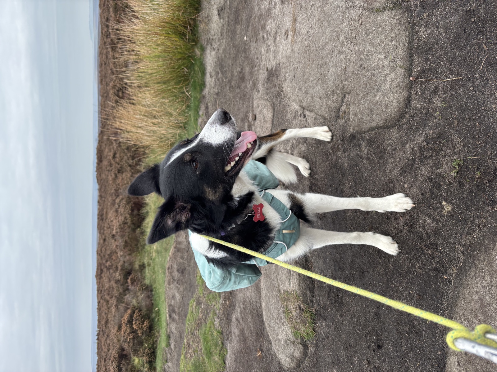
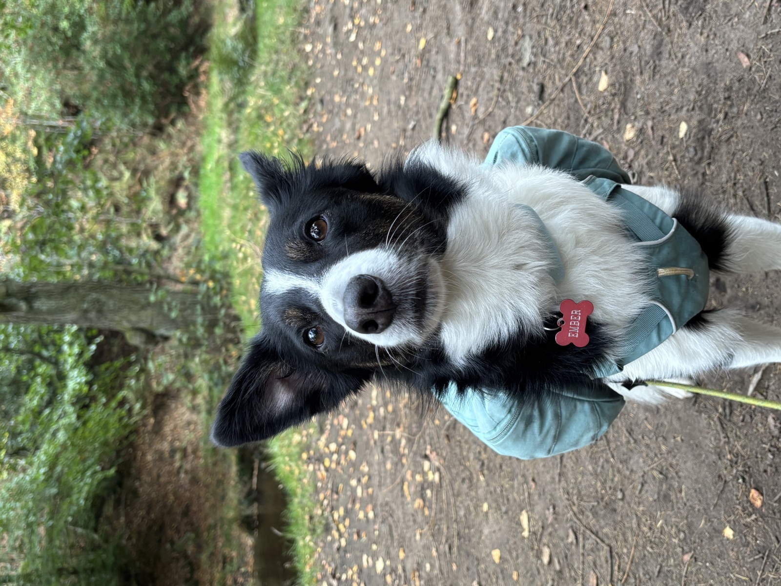
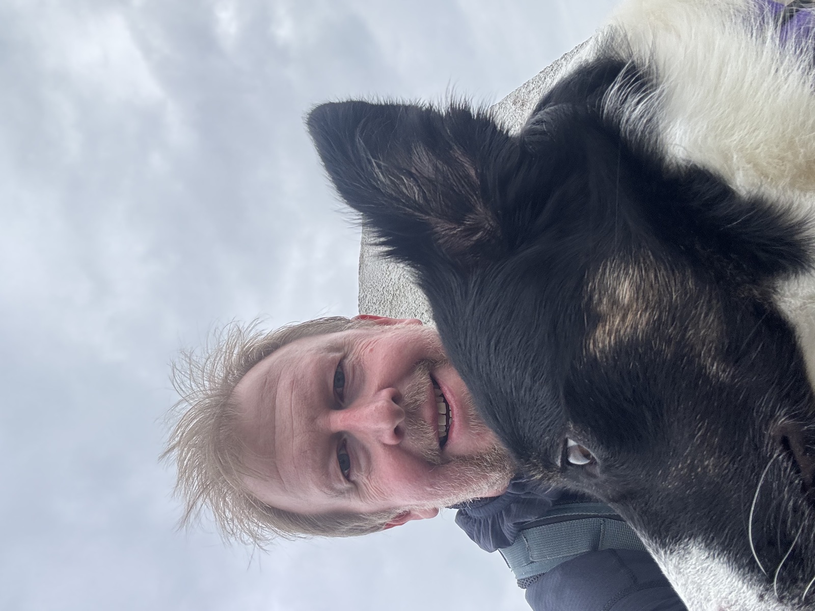
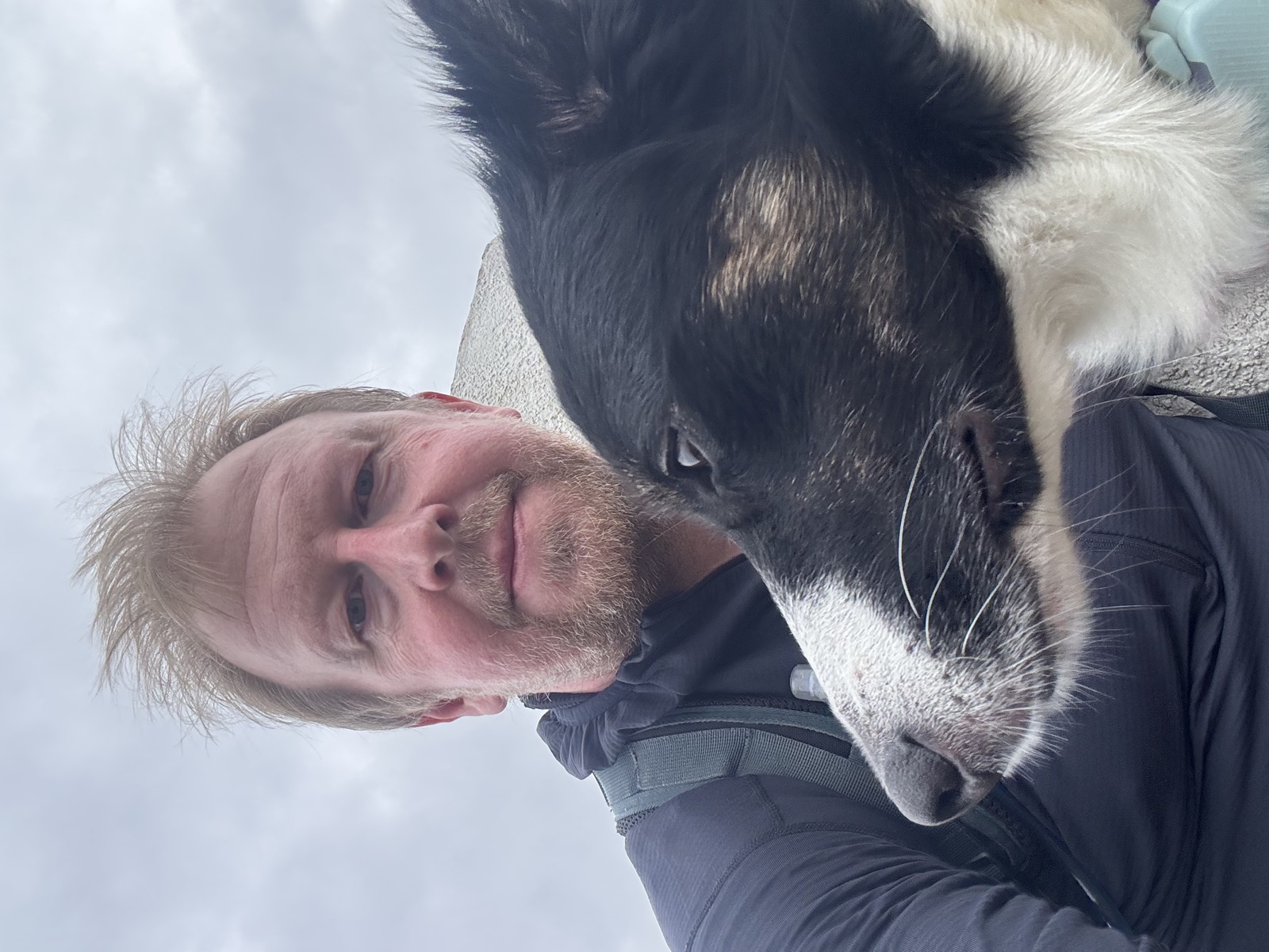
Just me and Ember.
The route
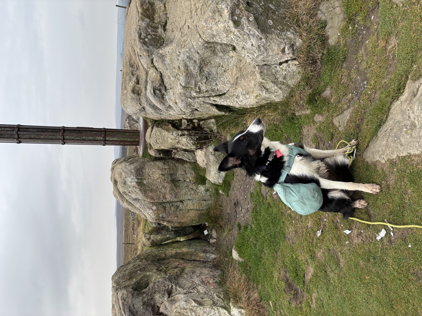
Up from North Lees onto Stanage and north along the edge to High Neb, the high point of the day at 457m and the top of the whole escarpment. On a clear day you can see most of the Hope Valley from up there. This was not a clear day.
Off the north end of the edge and out across the moor to Hollow Meadows, then east along the A57 line before dropping into Wyming Brook. That is the low point, 251m, a wooded ravine of cascades and cut stone steps between the Redmires and Rivelin reservoirs.
Out of the brook and back over the tops by Soughley Lane, Fulwood Lane and Ringinglow Road, then the long line back to Hathersage and North Lees.
The climbing is the thing here. 811m of it, and no single pull accounts for much: 194m in the first fifth, 166m in the second, 220m in the third. It just keeps coming. That is what makes it a long day rather than a hard one.
Worth knowing that North Lees Hall sits just below the start. It is a 16th century manor, and Charlotte Bronte stayed in Hathersage: it is widely held to be the model for Mr Rochester’s Thornfield Hall in Jane Eyre.
For your four legged companion
Stanage is busy with climbers at the popular buttresses, and there are sheep on the moor the whole way round.
Wyming Brook is the reliable water, but it comes at 10.8km, two thirds of the way. On a warm day you would want to carry more than that.
The gritstone edge is broken and uneven along the top. Fine for a sure-footed dog, but it is not ground for running about on.
Parking and practicalities
North Lees car park sits below the edge on the Hathersage side. Pay and display, and it fills early at weekends in good weather.
Hathersage has shops, pubs and public toilets, which is more than most starts in the Peak offer. Worth planning the finish around.
Recorded 2025-10-18. 16.2 miles, 811m of ascent, 6h53 moving.
Background on North Lees and Stanage from Countryfile and Visit Peak District.
Photos from this walk
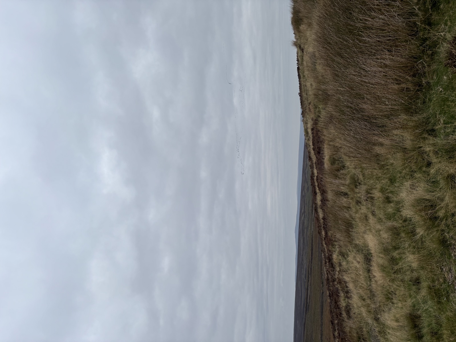
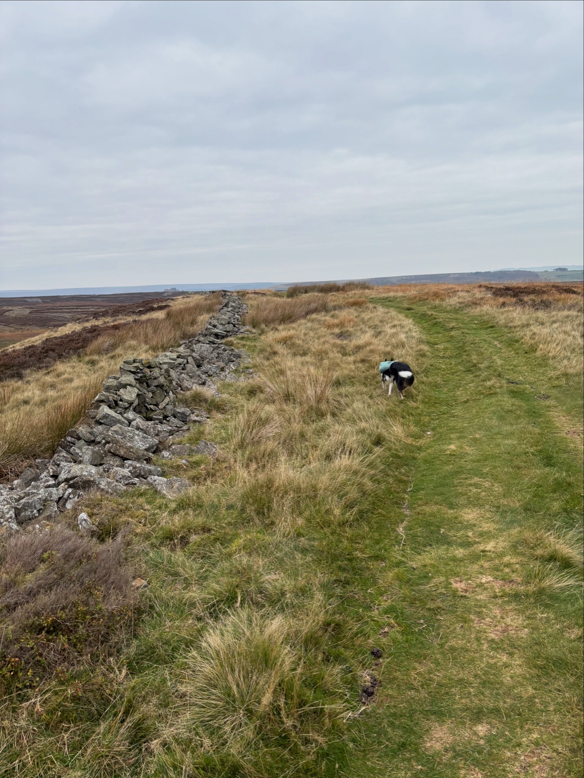
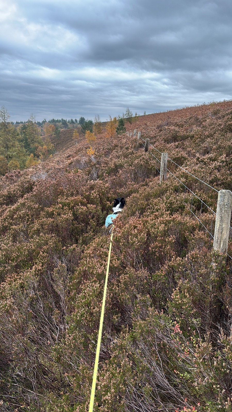
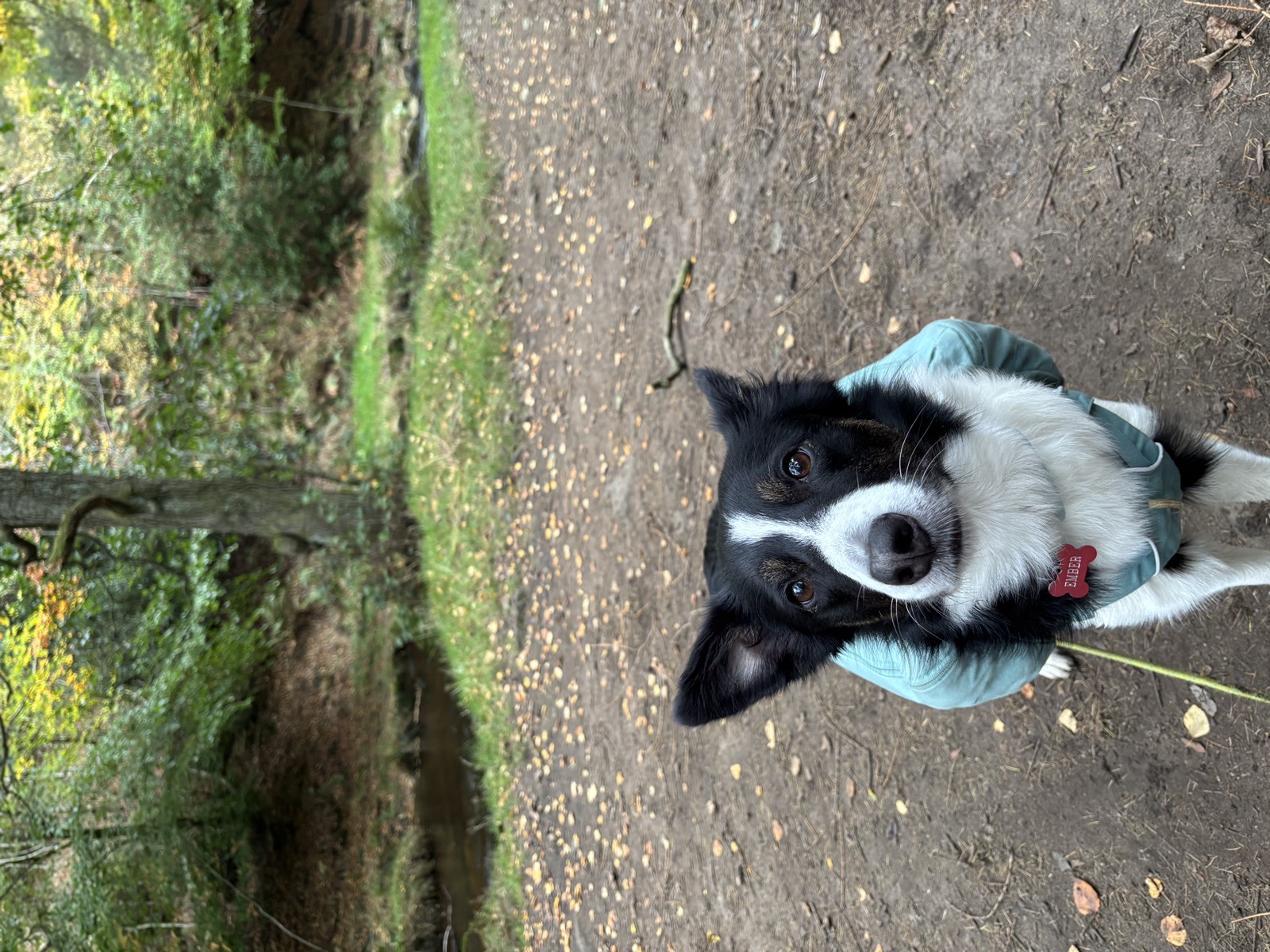
12 photographs, in the order we came to them.
Downloads and Links
Mountain weather: MWIS forecast
General weather: Met Office
Nearby walks
Other routes starting within a few miles of this one.
- Redmires Reservoir Circular8 mi · 325m · Moderatesame start
- Sheffield, 10.2 miles10.2 mi · 711m · Moderate2.5km awayGPX
- Calver Sough, 8 miles8 mi · 692m · Moderate5.5km awayGPX
- High Peak, 11.6 miles11.6 mi · 957m · Hard6.1km awayGPX