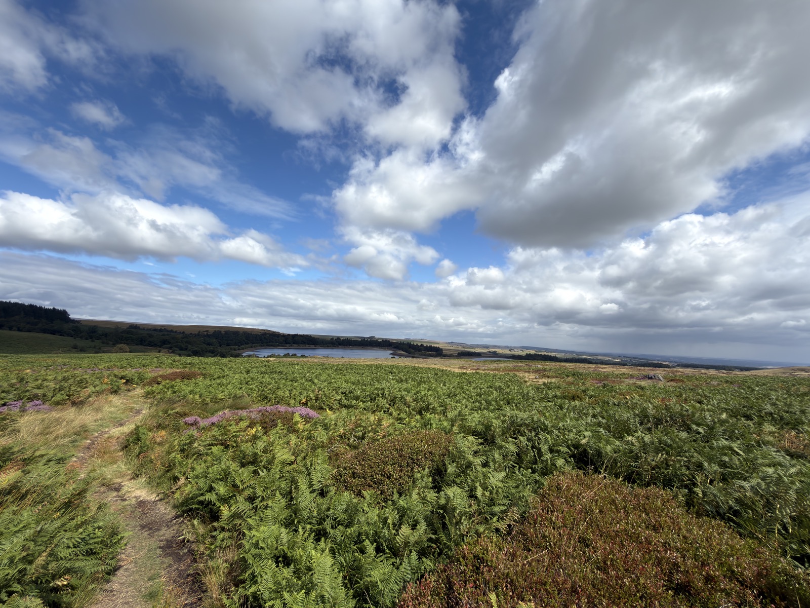
Redmires Reservoir Circular
Out over the moor to Ringinglow, then down through the Wyming Brook cascades to the Rivelin valley and back up to Redmires. Roughly 8 miles as a route, with the climbing all saved for the end.
- Peak District
- Sheffield
- reservoir
- woodland
- waterfalls
Getting there
- Grid reference
SK 2565 8566- Postcode
S10 4QZ
Free car park where Redmires Road runs out and becomes the Long Causeway, by the Upper reservoir.
Route Map
Open In New Tab3D Route
Full screen ↗Map and navigation
The line on the map is the GPX from the day, so it is the route as actually walked. You will not find numbered directions telling you to bear left at the third gate.
That is on purpose. This is not about telling you where to go. It is about sharing a route that works with a dog, and getting you out to explore it yourself.
For your four legged companion
What this route is like with a dog, at a glance.
- Water throughoutStreams or pools to drink from
- Open Access landOn Access land dogs must be on a lead no longer than 2m from 1 March to 31 July, for ground-nesting birds
- Rough underfootUneven, rocky or boggy going
Route notes
The day
August 2026. 325m of climbing and 4h52 on the move.
Cloud and sun taking turns, 15 to 16°C, wind gusting to 32mph, dry underfoot all day.
Walking with
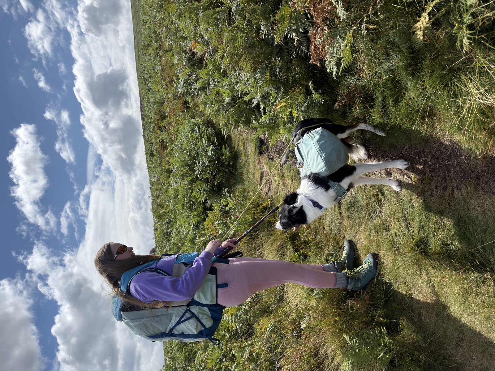
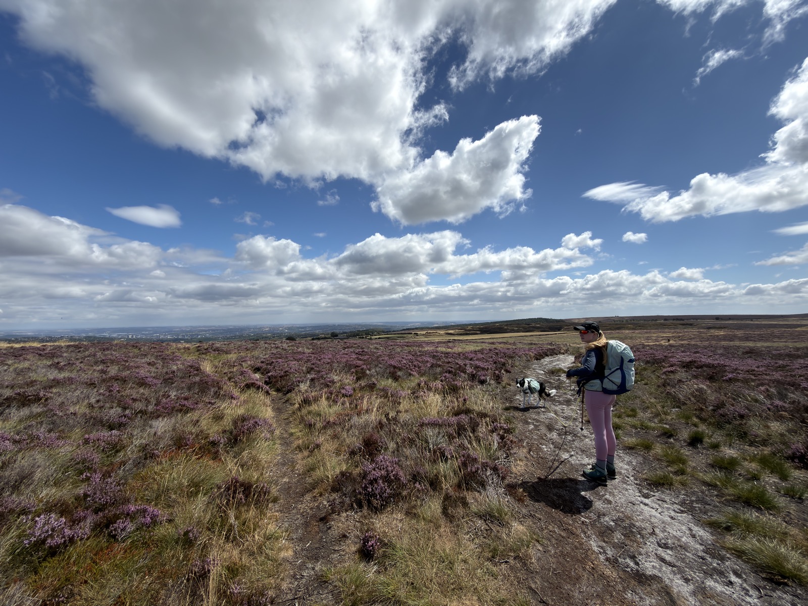
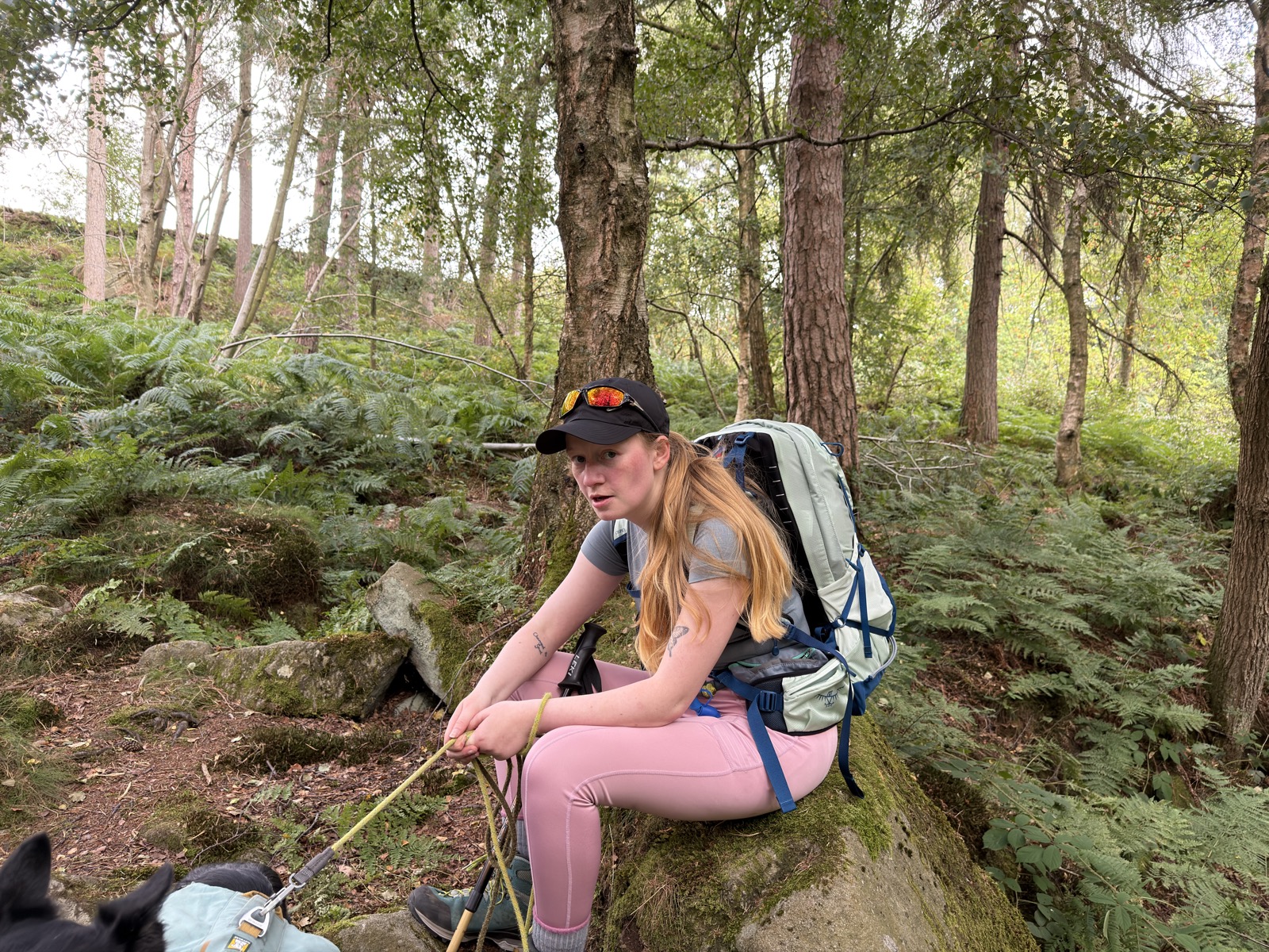
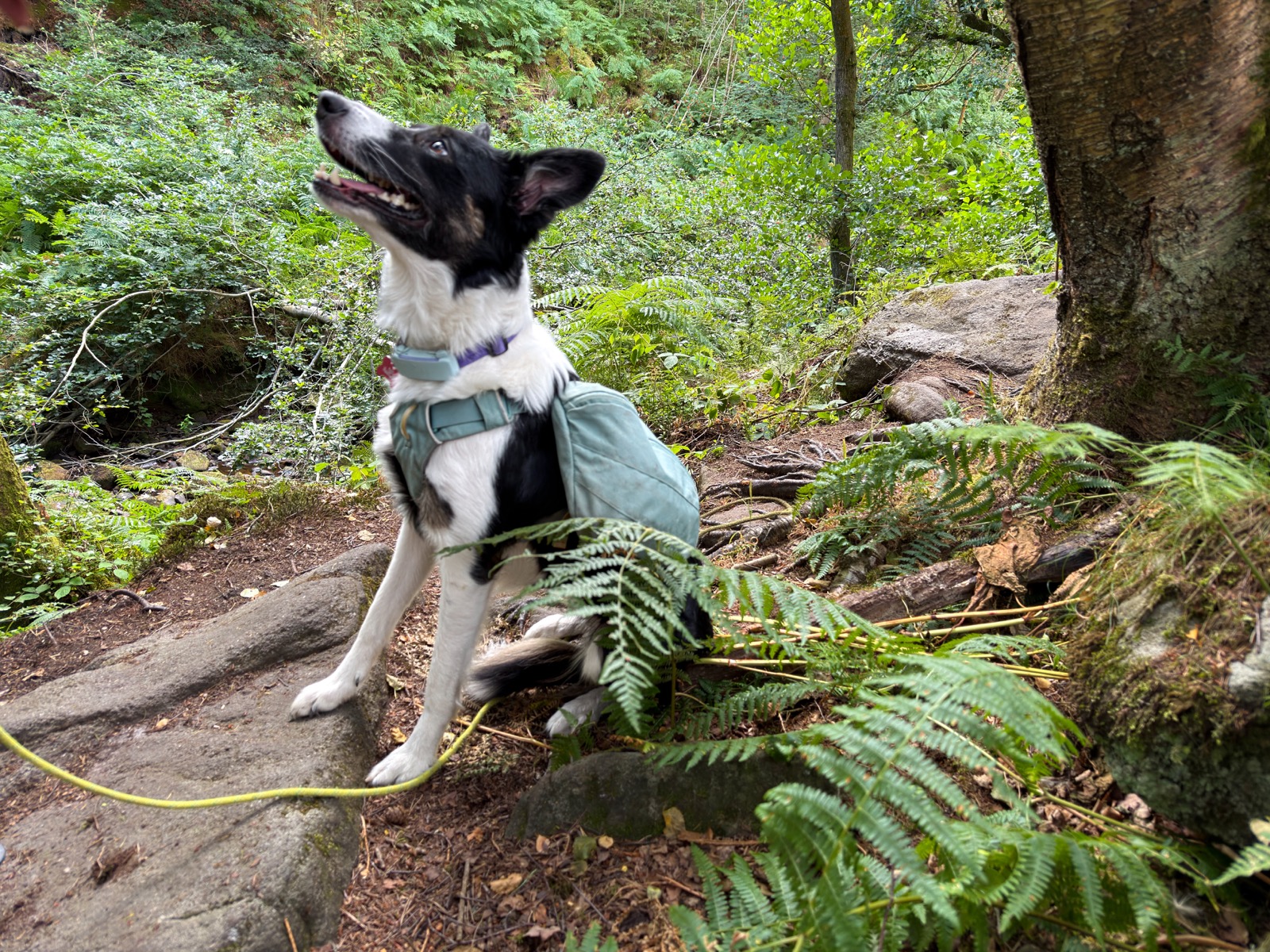
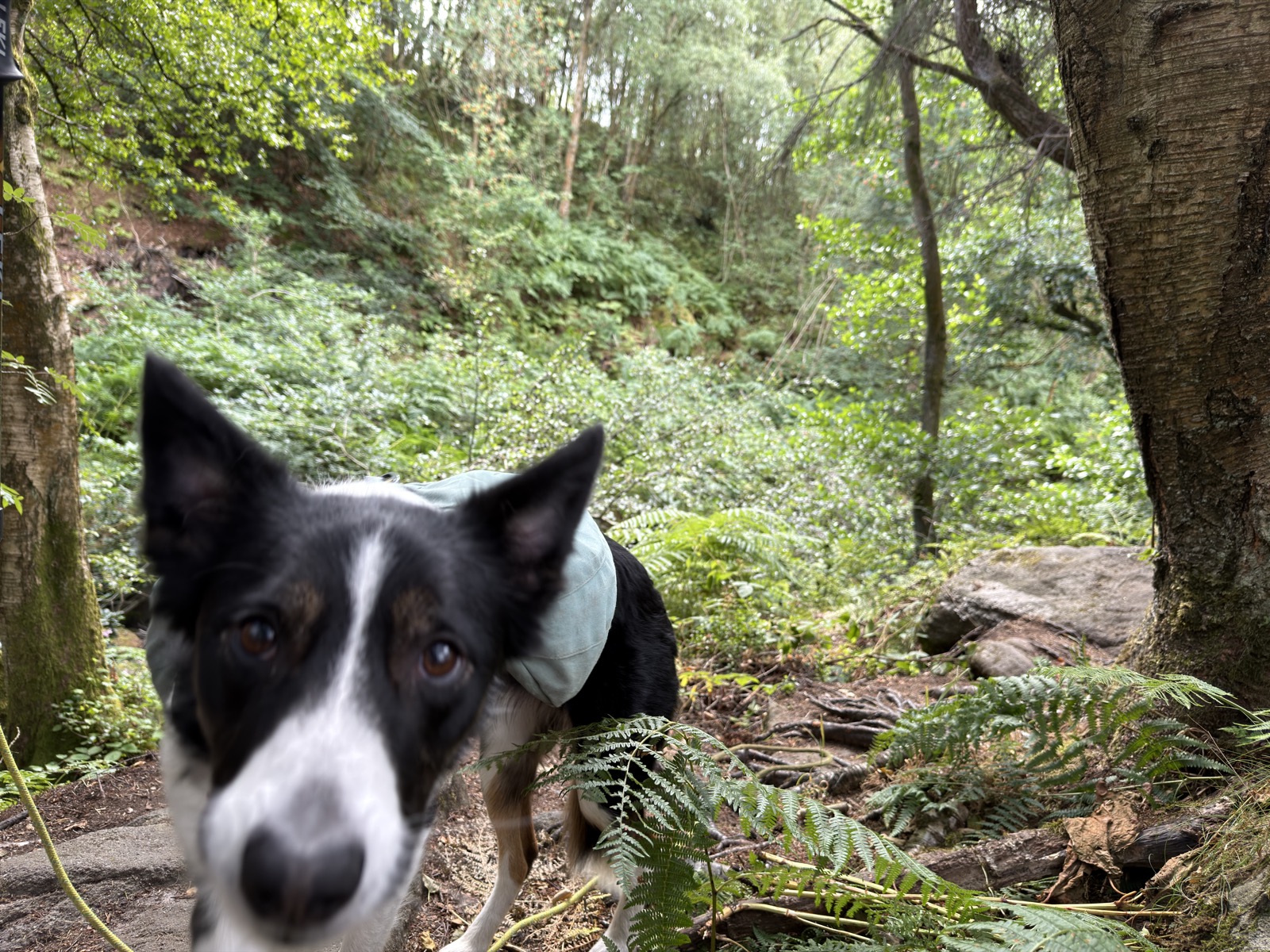
Joined on this route by Lizzy, and of course Ember.
The route
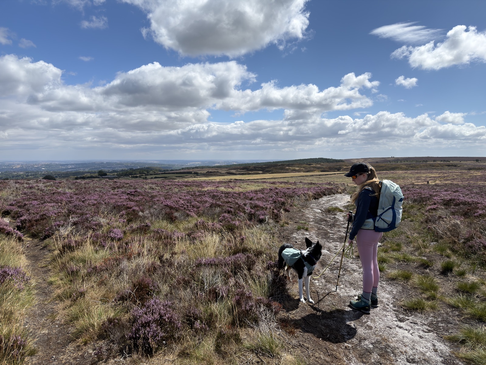
Start at the top of Redmires Road, by the Upper reservoir, and pick up the Long Causeway heading east. It is a proper old road, a medieval packhorse route and possibly Roman before that, and it still walks like something built to be walked on.
The ground climbs steadily out to Ringinglow, topping out around 415m at the five kilometre mark. That is the high point of the day and it comes early.
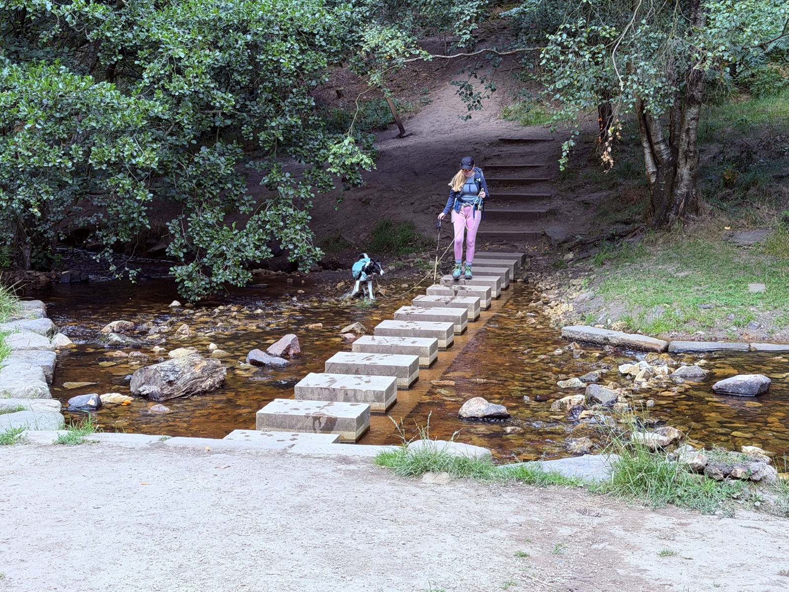
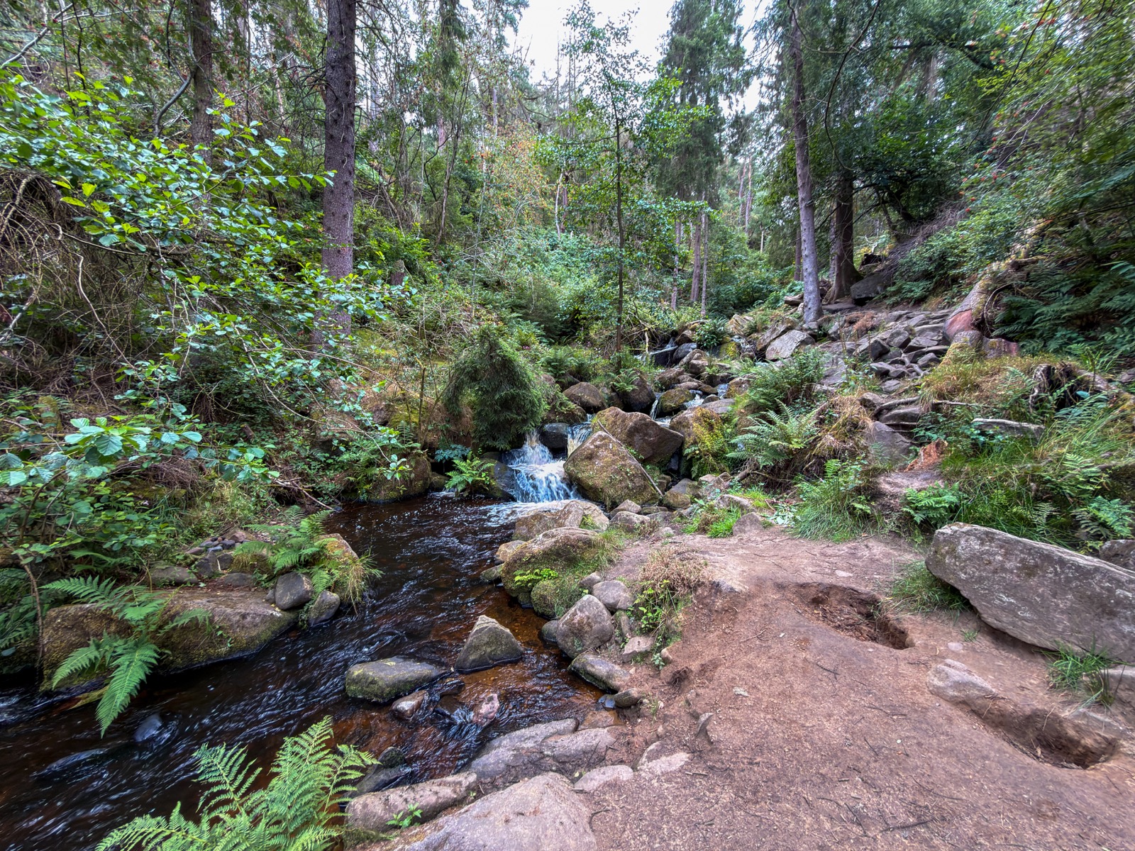
Then the good bit. The path drops north into Wyming Brook, where the stream falls through a wooded ravine in a run of cascades between the Redmires and Rivelin reservoirs. It loses over a hundred metres in a kilometre, on stone steps, bridges and a set of stepping stones across the water. It is a Wildlife Trust reserve and part of the Eastern Moors SSSI, and it feels nothing like the moor you have just crossed.
The low point is 226m in the Rivelin valley, about two thirds of the way round.
Everything you have descended, you climb back. Of the day’s 325m, only 44m comes in the first fifth and 141m waits in the last, pulling back out of the valley to Redmires at 367m. The walk out is gentle and you pay for it coming home. Worth knowing before you set off.
On the distance. The GPS says 10.6 miles, but that includes the first mile or so walked twice: we dropped a piece of kit early on and went back for it. As a route to follow this is closer to 8 miles. The GPX download has the whole thing, retrace and all.
For your four legged companion
Wyming Brook is the obvious drink on the route and the only reliable water once you are up on the moor. Worth knowing before a warm day.
The stepping stones across the brook are spaced for boots. Most dogs will wade instead, which is the sensible choice when you have four feet and no hands. Ember did.
The descent through the brook is steep and rocky, on cut stone steps. Fine for a sure-footed dog, but it is not a run-ahead sort of path, and a long lead is easier than a short one on it.
Parking and practicalities
SK 2565 8566, postcode S10 4QZ. The car park where Redmires Road runs out and becomes the Long Causeway, alongside the Upper reservoir with the war memorial opposite. Free and open access. Guidebooks tend to call it Redmires Plantation car park after the wood behind it.
Worth being specific because there are three Redmires reservoirs and a car park at each end. This is the western one, a kilometre from the Lower. No facilities, so sort yourself out before you set off.
The moor section is exposed with no shelter. The Wyming Brook half is the opposite, wooded and sheltered the whole way down.
Recorded 2026-08-06. 10.6 miles walked, roughly 8 as a route. 325m of ascent, 4h52 moving.
Background on the Long Causeway and Wyming Brook from Wikipedia and Sheffield and Rotherham Wildlife Trust.
Photos from this walk
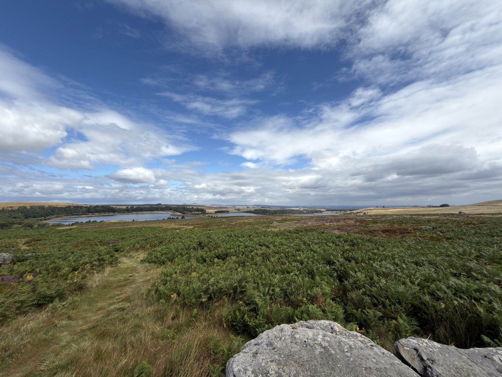
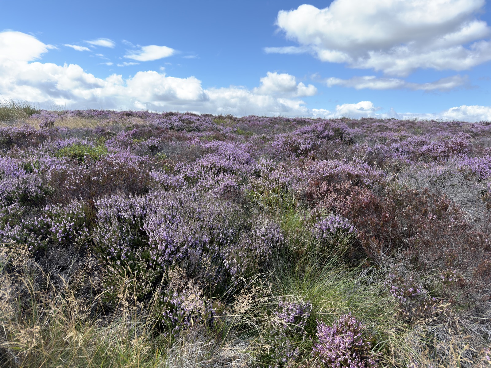
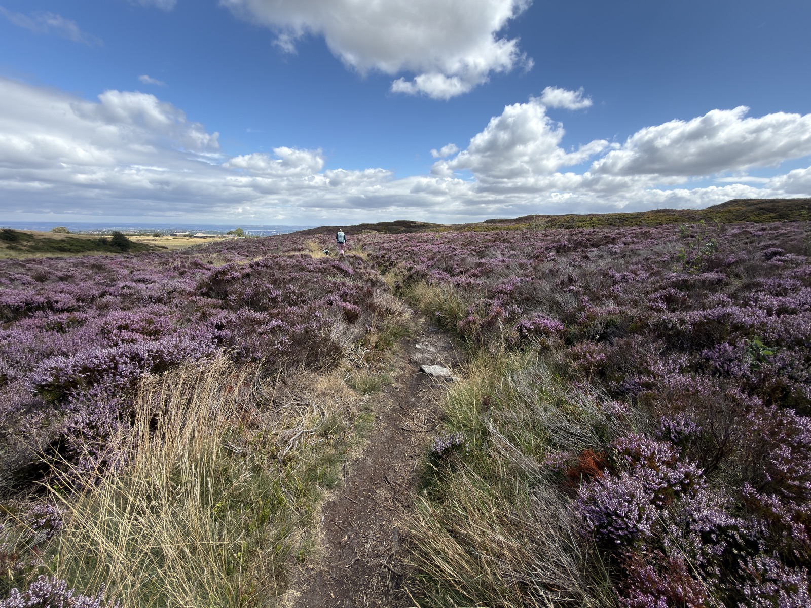
12 photographs, in the order we came to them.
Downloads and Links
Mountain weather: MWIS forecast
General weather: Met Office
Nearby walks
Other routes starting within a few miles of this one.
- Stanage Edge and Wyming Brook16.2 mi · 811m · Hardsame start
- Sheffield, 10.2 miles10.2 mi · 711m · Moderate3.4km awayGPX
- Calver Sough, 8 miles8 mi · 692m · Moderate6.1km awayGPX
- High Peak, 11.6 miles11.6 mi · 957m · Hard7.5km awayGPX